THE ADVENTURE COLLECTIVE® · Independent discovery and booking for outdoor travel

A remote extension off the Annapurna Circuit, the Nar Phu Valley Trek crosses high passes and ancient Tibetan-influenced villages. Expect long days at altitude, rugged terrain, and a very low visitor count that rewards careful planning.
A remote extension off the Annapurna Circuit, the Nar Phu Valley Trek crosses high passes and ancient Tibetan-influenced villages. Expect long days at altitude, rugged terrain, and a very low visitor count that rewards careful planning.
Cold air bites at dawn as porters and trekkers shoulder packs and step into a narrow valley framed by limestone cliffs and moraine scars. The approach to Nar and Phu villages slips off the busy Annapurna Circuit into quieter country: stone mani walls, prayer flags that snap like small warnings, and terraces where yaks pick at late-season grass.
Verified experiences and guided adventures in the surrounding area.
Operated by Himalayan Trekking Path (P). Ltd. · Manang, Gandaki Province
Cold air bites at dawn as porters and trekkers shoulder packs and step into a narrow valley framed by limestone cliffs and moraine scars. The approach to Nar and Phu villages slips off the busy Annapurna Circuit into quieter country: stone mani walls, prayer flags that snap like small warnings, and terraces where yaks pick at late-season grass.
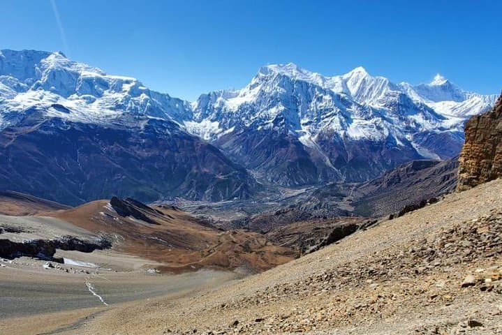
Geologically the Nar Phu corridor sits between the Annapurna and Manaslu massifs, carved by glacial action and uplifted limestone folds; jagged ridgelines give way to broad, dusty passes. Culturally the valley is a living edge of Tibetan Buddhism — villagers still house painted chortens and maintain yak pastures that trace ancient caravan routes. The valley was opened to trekkers only in 2002 and remains a restricted area, so permits and low visitor numbers preserve its remote feeling.
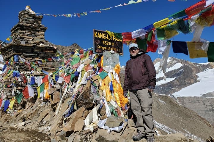
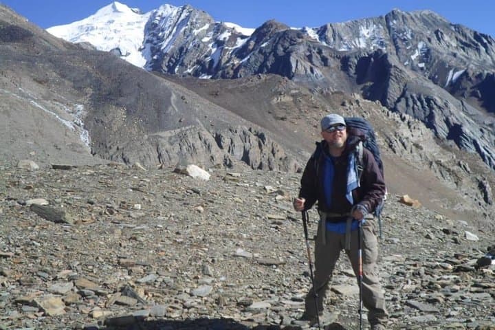
Expect 8–12 days on trail covering roughly 70–90 km round-trip, with single-day gains to 4,000–5,300 m (Kang La sits near 5,300 m). Terrain alternates river terraces, scree slopes, narrow gullies and high alpine meadows; snowfields are common on the high pass. Weather swings fast: clear, brittle mornings can flip to wind-driven snow by afternoon.
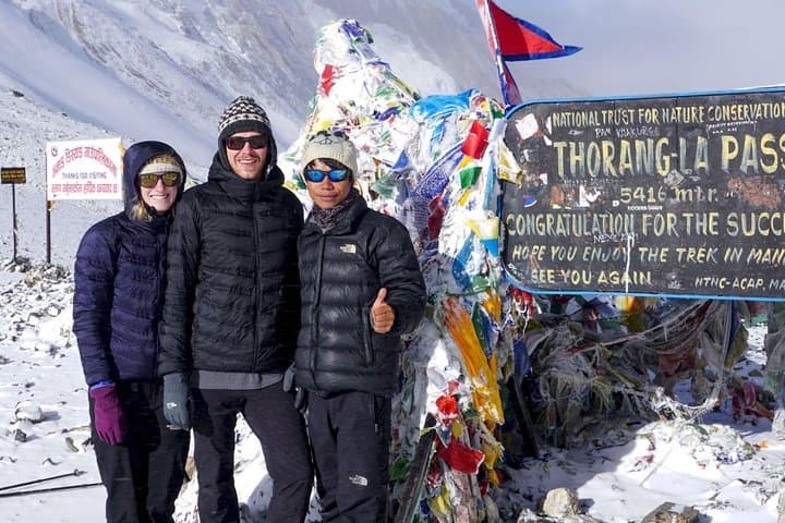
Practical guidance: secure restricted-area permits before you go, pace for altitude, and pack layered insulation and a cold-rated sleeping bag. Aim for early starts to cross passes in stable conditions, carry water-treatment options, and hire local guides and porters when possible — they know route choices and acclimatization rhythms. Nar Phu rewards patience: the valley quietly pushes you to move higher and keep going.
challenging.
8–12 days.
Good cardiovascular fitness and prior multi-day trekking experience; capable of hiking 6–8 hours at altitude.
Yes — Nar and Phu are restricted areas; trekkers must obtain a Restricted Area Permit in addition to the Annapurna Conservation Area Permit (ACAP).
The classic route crosses passes above 5,000 m (Kang La is commonly cited near 5,300 m), so plan for significant altitude exposure.
Spring (April–May) and fall (September–November) offer the most stable weather and clearer views; shoulder seasons are colder with higher snow risk.
Yes — small tea-house lodges operate in most villages, but services are basic and seasonal; bring extra snacks and cash.
Nar Phu remained closed to foreign trekkers until the early 2000s and still reflects centuries-old Tibetan trade and pastoral culture.
Permits and low visitor volume help protect fragile alpine pastures; follow leave-no-trace principles and use local guides to minimize impact.
Himalayan Trekking Path (P). Ltd. operates guided outdoor trips and adventures with an emphasis on safety, stewardship, and memorable experiences.
Cold air bites at dawn as porters and trekkers shoulder packs and step into a narrow valley framed by limestone cliffs and moraine scars. The approach to Nar and Phu villages slips off the busy Annapurna Circuit into quieter country: stone mani walls, prayer flags that snap like small warnings, and terraces where yaks pick at late-season grass.
Cold air bites at dawn as porters and trekkers shoulder packs and step into a narrow valley framed by limestone cliffs and moraine scars. The approach to Nar and Phu villages slips off the busy Annapurna Circuit into quieter country: stone mani walls, prayer flags that snap like small warnings, and terraces where yaks pick at late-season grass.
Geologically the Nar Phu corridor sits between the Annapurna and Manaslu massifs, carved by glacial action and uplifted limestone folds; jagged ridgelines give way to broad, dusty passes. Culturally the valley is a living edge of Tibetan Buddhism — villagers still house painted chortens and maintain yak pastures that trace ancient caravan routes. The valley was opened to trekkers only in 2002 and remains a restricted area, so permits and low visitor numbers preserve its remote feeling.
Expect 8–12 days on trail covering roughly 70–90 km round-trip, with single-day gains to 4,000–5,300 m (Kang La sits near 5,300 m). Terrain alternates river terraces, scree slopes, narrow gullies and high alpine meadows; snowfields are common on the high pass. Weather swings fast: clear, brittle mornings can flip to wind-driven snow by afternoon.
Practical guidance: secure restricted-area permits before you go, pace for altitude, and pack layered insulation and a cold-rated sleeping bag. Aim for early starts to cross passes in stable conditions, carry water-treatment options, and hire local guides and porters when possible — they know route choices and acclimatization rhythms. Nar Phu rewards patience: the valley quietly pushes you to move higher and keep going.