THE ADVENTURE COLLECTIVE® · Independent discovery and booking for outdoor travel

Short transfer from Vienna lands you in Steinwandklamm where wooden bridges, the Myra Waterfalls and a forested climb lead to plateau views of Schneeberg. A varied 9 km hike that mixes gorge walking with country roads and pastureland.
Short transfer from Vienna lands you in Steinwandklamm where wooden bridges, the Myra Waterfalls and a forested climb lead to plateau views of Schneeberg. A varied 9 km hike that mixes gorge walking with country roads and pastureland.
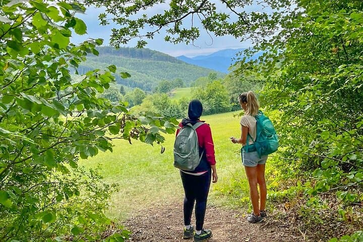
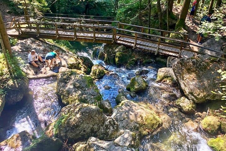
Hikers step out of a short transfer from Vienna into a narrow ravine where water hurries and rock walls press in. The trail begins at Steinwandklamm: wooden bridges clack underfoot, a small cave frames the stream, and the Myra Waterfalls announce themselves in white ribbons. The route climbs from the gorge into cool beech forest, then opens onto a plateau with a clear sightline to Schneeberg, the highest peak in Lower Austria.
Verified experiences and guided adventures in the surrounding area.
Operated by Das Leben spueren - Embrace Life · Gutenstein, Lower Austria
Hikers step out of a short transfer from Vienna into a narrow ravine where water hurries and rock walls press in. The trail begins at Steinwandklamm: wooden bridges clack underfoot, a small cave frames the stream, and the Myra Waterfalls announce themselves in white ribbons. The route climbs from the gorge into cool beech forest, then opens onto a plateau with a clear sightline to Schneeberg, the highest peak in Lower Austria.
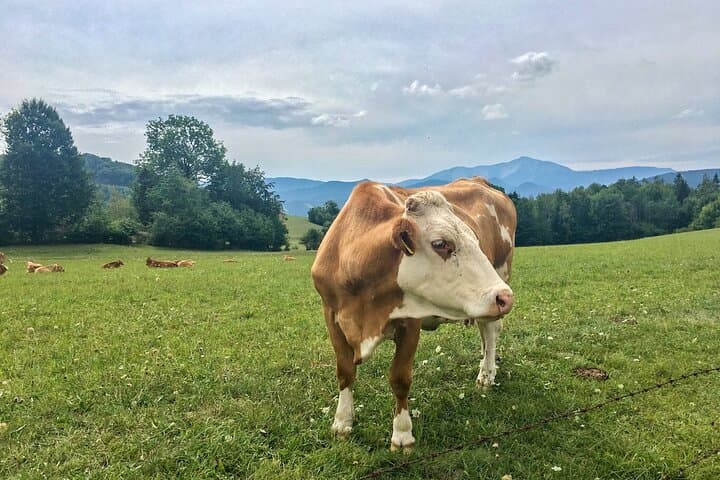
The Gutenstein Alps are folded limestone, carved by ice and water over millennia; the gorge and falls are local proofs of that slow sculpting. Small farming communities historically grazed these slopes, and the country road sections still pass pasture and stone walls that speak to that agricultural past. Culturally the area is low-key — shepherding and day-hikes dominate rather than commercial tourism — so services near the trailhead are minimal.
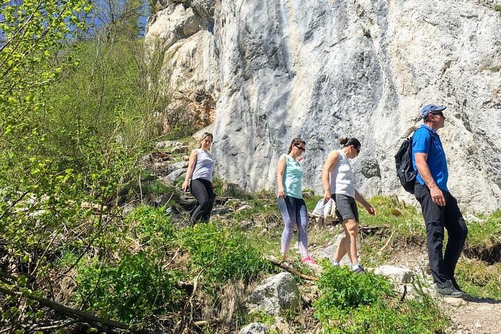
Expect varied terrain: carved rock steps, rooty forest paths, a steep climb to the summit view, and gentle country-road stretches. Practical details: the listed itinerary covers ~9 km with roughly +430 m ascent and a high point near 720 m; walking time is about 3 hours (without breaks) and the full tour runs about 5–6 hours including transfers. Bring cash for the entrance fee (≈EUR 7) and wear boots with good grip; rain makes the gorge slippery. The route is best attempted by those with moderate fitness — it rewards effort with valley views, waterfalls, and a genuine Austrian countryside finish.
moderate.
5–6 hours.
Moderate cardio fitness and stable balance for uneven, steep sections; suited to regular walkers.
The walking route is about 9 km with approximately +430 m ascent and -440 m descent; walking time is roughly 3 hours not including breaks or transfers.
Yes — a small entrance fee (around EUR 7 per person) is payable in cash at Steinwandklamm.
Participants should have a moderate fitness level—able to handle uneven terrain, a steep climb, and several hours of walking.
No — the gorge has steps, bridges and uneven surfaces, and the tour is not suited for wheelchair users or people with significant walking impediments.
Local communities have grazed these lower alpine slopes for centuries; the gorge became a managed visitor spot in the 19th–20th centuries as pleasure hiking spread from Vienna.
Stick to marked trails to protect fragile karst vegetation and avoid trampling waterfall-side mosses; pack out all waste and respect grazing animals.
Das Leben spueren - Embrace Life operates guided outdoor trips and adventures with an emphasis on safety, stewardship, and memorable experiences.
Hikers step out of a short transfer from Vienna into a narrow ravine where water hurries and rock walls press in. The trail begins at Steinwandklamm: wooden bridges clack underfoot, a small cave frames the stream, and the Myra Waterfalls announce themselves in white ribbons. The route climbs from the gorge into cool beech forest, then opens onto a plateau with a clear sightline to Schneeberg, the highest peak in Lower Austria.
Hikers step out of a short transfer from Vienna into a narrow ravine where water hurries and rock walls press in. The trail begins at Steinwandklamm: wooden bridges clack underfoot, a small cave frames the stream, and the Myra Waterfalls announce themselves in white ribbons. The route climbs from the gorge into cool beech forest, then opens onto a plateau with a clear sightline to Schneeberg, the highest peak in Lower Austria.
The Gutenstein Alps are folded limestone, carved by ice and water over millennia; the gorge and falls are local proofs of that slow sculpting. Small farming communities historically grazed these slopes, and the country road sections still pass pasture and stone walls that speak to that agricultural past. Culturally the area is low-key — shepherding and day-hikes dominate rather than commercial tourism — so services near the trailhead are minimal.
Expect varied terrain: carved rock steps, rooty forest paths, a steep climb to the summit view, and gentle country-road stretches. Practical details: the listed itinerary covers ~9 km with roughly +430 m ascent and a high point near 720 m; walking time is about 3 hours (without breaks) and the full tour runs about 5–6 hours including transfers. Bring cash for the entrance fee (≈EUR 7) and wear boots with good grip; rain makes the gorge slippery. The route is best attempted by those with moderate fitness — it rewards effort with valley views, waterfalls, and a genuine Austrian countryside finish.