THE ADVENTURE COLLECTIVE® · Independent discovery and booking for outdoor travel

Three days of ridge walking on the E3 through ancient beech and conifer forests, mountain meadows, and narrow crests—staying in traditional huts. This guide covers terrain, daily stats, and practical tips whether you go self-guided or with a pickup from Sofia or Plovdiv.
Three days of ridge walking on the E3 through ancient beech and conifer forests, mountain meadows, and narrow crests—staying in traditional huts. This guide covers terrain, daily stats, and practical tips whether you go self-guided or with a pickup from Sofia or Plovdiv.
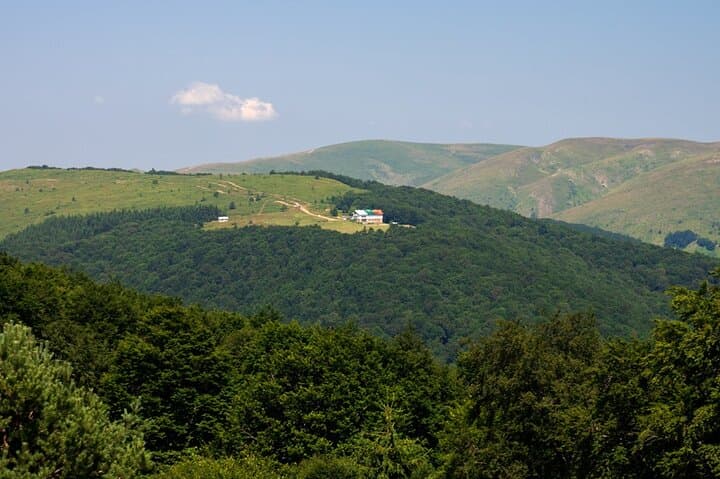
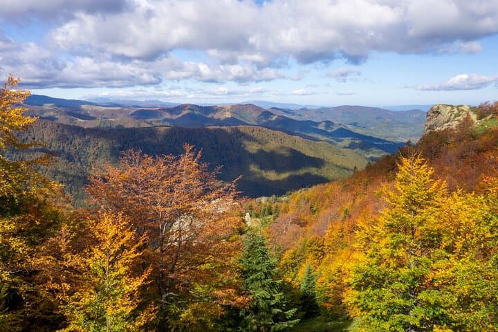
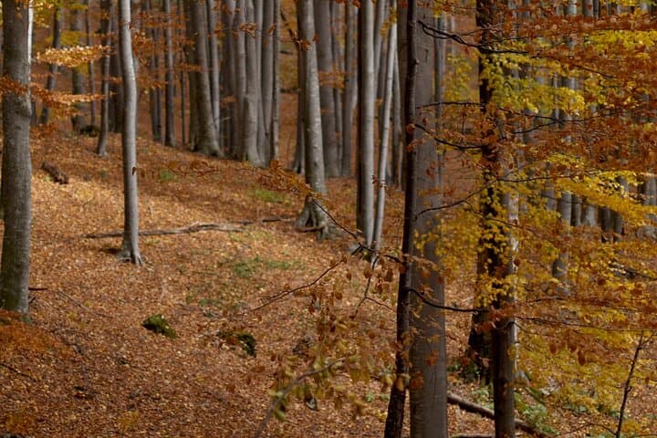
Morning mist peels off the ridge as hikers step out of a minibus and into the raw, slow-moving pulse of the Central Balkan. The path climbs from Karnare through ancient beech and conifer stands—many trees here average 150 years old—before opening to high-mountain meadows where the main crest slices the skyline.
Verified experiences and guided adventures in the surrounding area.
Operated by BG Hike · Karnare, Plovdiv Province
Morning mist peels off the ridge as hikers step out of a minibus and into the raw, slow-moving pulse of the Central Balkan. The path climbs from Karnare through ancient beech and conifer stands—many trees here average 150 years old—before opening to high-mountain meadows where the main crest slices the skyline.
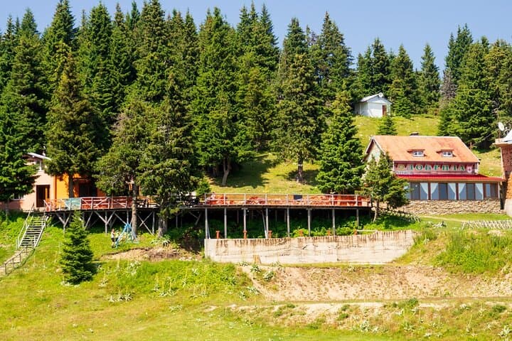
This three-day route follows a section of the E3 European long-distance path and links small touristic huts—Dermenka and Dobrila—that have long supported shepherding and mountain tourism. Geologically, the Balkan spine is carved from limestones and crystalline schists; narrow rocky shelves on the crest give way to broad grassy bowls below. Local villages like Karnare and Sopot reflect a rural culture rooted in wool, small-scale farming, and seasonal mountain use.
Expect varied terrain: day 1 is a steady 7 km with roughly +980 m ascent (4 hours) up to Dermenka, day 2 runs 9 km with +580 m (5 hours) along ridge panoramas to Dobrila, and day 3 drops 7 km with −1,230 m (4 hours) into Sopot. Huts offer basic beds and a chance to refuel—in winter some sections remain accessible but require winter kit and caution.
Practical guidance: plan 2–3 liters of water, layered clothing for rapidly changing high-mountain weather, and sturdy boots for rocky crests. If you choose pickup from Sofia or Plovdiv, account for transfer time in your itinerary. Hut etiquette: carry small-denomination cash, keep gear in dry sacks, and expect simple breakfasts if booked with a guide. The route rewards steady pacing, awareness on exposed sections, and an appreciation for Bulgaria’s quieter highlands.
moderate.
3 days.
Suitable for hikers with a good baseline fitness—able to sustain multiple days of uphill walking with a daypack.
Each day ranges 4–5 hours of walking with sustained ascents on day 1; overall it's moderate fitness territory but demands stamina for consecutive days.
Huts like Dermenka and Dobrila are basic but maintained—expect dorm-style sleeping and simple breakfasts if booked with the guided option.
Not strictly—marked trails and established huts allow safe self-guided travel in good weather, but a guide adds logistics, local knowledge, and transfers.
Yes—operators offer optional private transport and pickup from Sofia or Plovdiv; allow extra transfer time when booking.
The Central Balkan area has been used historically for transhumant shepherding and links to the E3 reflect long-standing European route networks crossing the Stara Planina range.
Central Balkan National Park protects old-growth forests and endemic flora; stick to marked trails and follow hut rules to minimize erosion and disturbance.
BG Hike operates guided outdoor trips and adventures with an emphasis on safety, stewardship, and memorable experiences.
Morning mist peels off the ridge as hikers step out of a minibus and into the raw, slow-moving pulse of the Central Balkan. The path climbs from Karnare through ancient beech and conifer stands—many trees here average 150 years old—before opening to high-mountain meadows where the main crest slices the skyline.
Morning mist peels off the ridge as hikers step out of a minibus and into the raw, slow-moving pulse of the Central Balkan. The path climbs from Karnare through ancient beech and conifer stands—many trees here average 150 years old—before opening to high-mountain meadows where the main crest slices the skyline.
This three-day route follows a section of the E3 European long-distance path and links small touristic huts—Dermenka and Dobrila—that have long supported shepherding and mountain tourism. Geologically, the Balkan spine is carved from limestones and crystalline schists; narrow rocky shelves on the crest give way to broad grassy bowls below. Local villages like Karnare and Sopot reflect a rural culture rooted in wool, small-scale farming, and seasonal mountain use.
Expect varied terrain: day 1 is a steady 7 km with roughly +980 m ascent (4 hours) up to Dermenka, day 2 runs 9 km with +580 m (5 hours) along ridge panoramas to Dobrila, and day 3 drops 7 km with −1,230 m (4 hours) into Sopot. Huts offer basic beds and a chance to refuel—in winter some sections remain accessible but require winter kit and caution.
Practical guidance: plan 2–3 liters of water, layered clothing for rapidly changing high-mountain weather, and sturdy boots for rocky crests. If you choose pickup from Sofia or Plovdiv, account for transfer time in your itinerary. Hut etiquette: carry small-denomination cash, keep gear in dry sacks, and expect simple breakfasts if booked with a guide. The route rewards steady pacing, awareness on exposed sections, and an appreciation for Bulgaria’s quieter highlands.