THE ADVENTURE COLLECTIVE® · Independent discovery and booking for outdoor travel

Climb Spain’s highest mainland peak from the Alpujarra hamlet of Capileira on a full-day guided ascent. Expect 5–6 hours of uphill on rocky, high-elevation terrain with sweeping Sierra Nevada views.
Climb Spain’s highest mainland peak from the Alpujarra hamlet of Capileira on a full-day guided ascent. Expect 5–6 hours of uphill on rocky, high-elevation terrain with sweeping Sierra Nevada views.
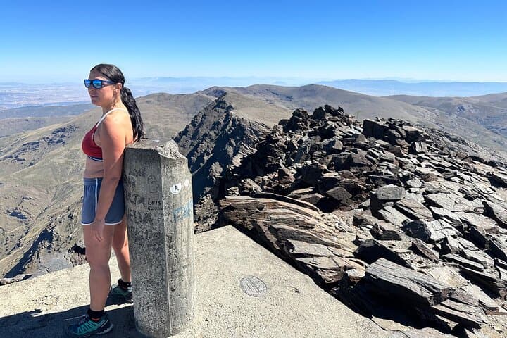
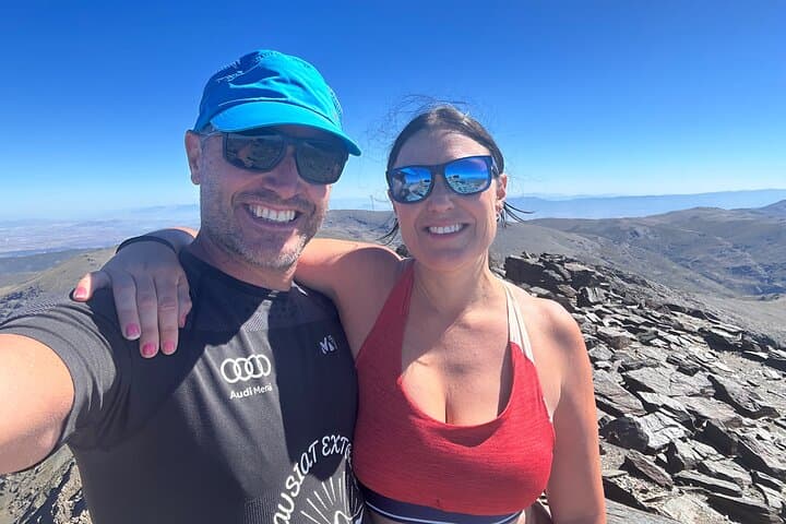
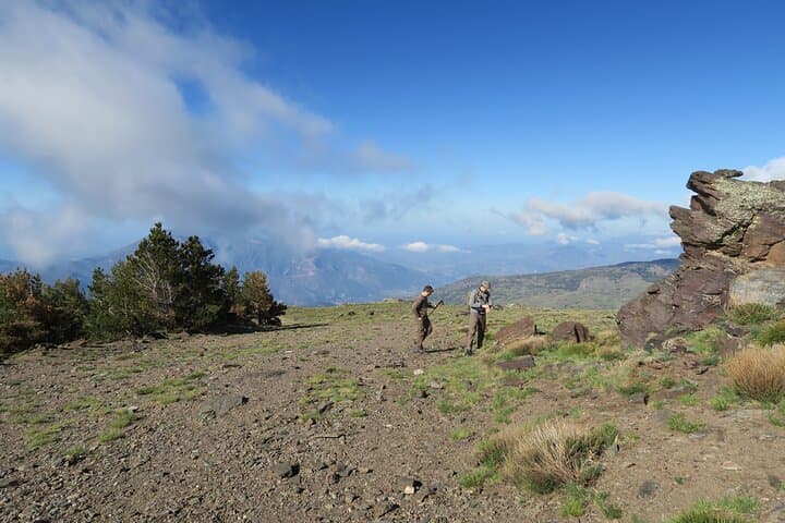
A dry wind pushes across the scree as you pick your line up Loma del Mulhacén, the ridge sharpening the sky into a distant summit. The trail leaves Alto del Chorrillo and climbs through high plateaus and stony slopes, the Sierra Nevada’s exposed backbone testing breathing and balance as the summit steadily grows from a small white mark to a broad, rocky crown.
Verified experiences and guided adventures in the surrounding area.
Operated by Mirando al Sur - Guías de Montaña · Capileira, Andalusia
A dry wind pushes across the scree as you pick your line up Loma del Mulhacén, the ridge sharpening the sky into a distant summit. The trail leaves Alto del Chorrillo and climbs through high plateaus and stony slopes, the Sierra Nevada’s exposed backbone testing breathing and balance as the summit steadily grows from a small white mark to a broad, rocky crown.
Mulhacén is the highest point on mainland Spain at 3,479 m. The peak’s name recalls the 15th-century Nasrid ruler Muley Hacén, and the slopes carry a layered geology of metamorphic schists and glacially carved basins. Culturally, the ascent threads the Alpujarras — villages like Capileira where Berber-influenced architecture and terraced agriculture meet shepherding traditions.
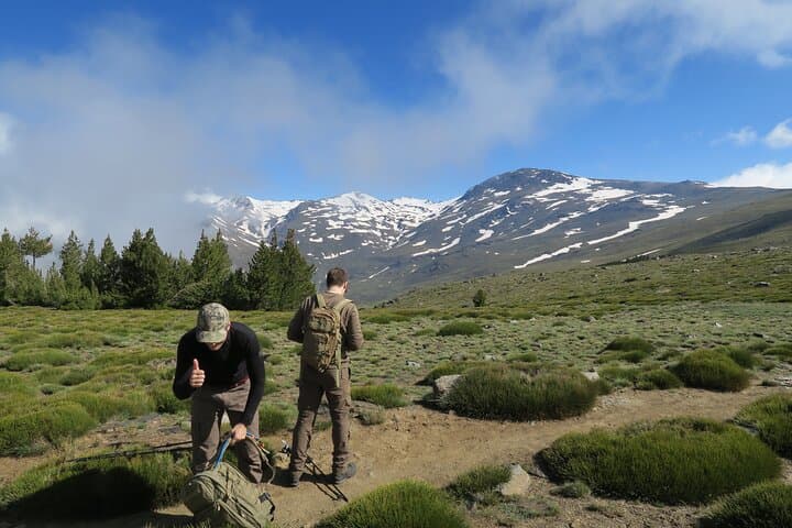
On this guided route you’ll ascend roughly 5–6 hours, following a high-line approach that drops down the west face into the Mulhacén river valley on descent. Expect alpine tundra (borreguiles), sparse shrubs, and broad views toward Sierra Nevada’s snowy ridgelines in season. Weather can flip quickly; morning calm often gives way to wind and cloud by afternoon, and snow can linger into late spring.
Practical guidance: start early to avoid afternoon winds, carry 2–3 liters of water, and use layered clothing with windproof shell. Footwear with good ankle support and optional poles will ease steep scree sections. The route is non-technical but exposed; hikers with moderate fitness and some altitude experience will find the day demanding but deeply rewarding.
challenging.
8–10 hours (including transfers).
Good cardiovascular fitness and experience with long ascents at altitude; able to hike 6–8 hours with elevation gain.
From Alto del Chorrillo to the summit plan for about 5–6 hours of uphill hiking; the full outing including transfers is longer.
No technical gear is needed on this route — it is a non-technical high-elevation hike, though experience with exposed trails is helpful.
Fit beginners with prior long-day hiking experience and good cardiovascular fitness may manage it, but altitude and sustained ascent make it challenging.
Late spring through early autumn offers the most stable conditions; snow can persist into June and winter routes require alpine equipment.
Named after Mulay Hacén, the peak carries Moorish-era place names and sits above villages shaped by centuries of Alpujarran farming and crafts.
High-altitude vegetation and seasonal wetlands are fragile; stick to established paths, avoid trampling borreguiles, and pack out all waste to limit erosion and habitat disturbance.
Mirando al Sur - Guías de Montaña operates guided outdoor trips and adventures with an emphasis on safety, stewardship, and memorable experiences.
A dry wind pushes across the scree as you pick your line up Loma del Mulhacén, the ridge sharpening the sky into a distant summit. The trail leaves Alto del Chorrillo and climbs through high plateaus and stony slopes, the Sierra Nevada’s exposed backbone testing breathing and balance as the summit steadily grows from a small white mark to a broad, rocky crown.
A dry wind pushes across the scree as you pick your line up Loma del Mulhacén, the ridge sharpening the sky into a distant summit. The trail leaves Alto del Chorrillo and climbs through high plateaus and stony slopes, the Sierra Nevada’s exposed backbone testing breathing and balance as the summit steadily grows from a small white mark to a broad, rocky crown.
Mulhacén is the highest point on mainland Spain at 3,479 m. The peak’s name recalls the 15th-century Nasrid ruler Muley Hacén, and the slopes carry a layered geology of metamorphic schists and glacially carved basins. Culturally, the ascent threads the Alpujarras — villages like Capileira where Berber-influenced architecture and terraced agriculture meet shepherding traditions.
On this guided route you’ll ascend roughly 5–6 hours, following a high-line approach that drops down the west face into the Mulhacén river valley on descent. Expect alpine tundra (borreguiles), sparse shrubs, and broad views toward Sierra Nevada’s snowy ridgelines in season. Weather can flip quickly; morning calm often gives way to wind and cloud by afternoon, and snow can linger into late spring.
Practical guidance: start early to avoid afternoon winds, carry 2–3 liters of water, and use layered clothing with windproof shell. Footwear with good ankle support and optional poles will ease steep scree sections. The route is non-technical but exposed; hikers with moderate fitness and some altitude experience will find the day demanding but deeply rewarding.