THE ADVENTURE COLLECTIVE® · Independent discovery and booking for outdoor travel

Traverse the ridge-to-shore route of Costa de la Luz, starting on Sierra de la Plata’s rocky summits and ending on a wild Atlantic beach. This 8 km, 4–5 hour hike moves through pine forests, a dramatic gorge, and coastal views that include Morocco on the horizon.
Traverse the ridge-to-shore route of Costa de la Luz, starting on Sierra de la Plata’s rocky summits and ending on a wild Atlantic beach. This 8 km, 4–5 hour hike moves through pine forests, a dramatic gorge, and coastal views that include Morocco on the horizon.
The trail opens on wind-scraped rocks at 450 meters, where the Atlantic hangs on the horizon like a pale promise. Hikers move from sun-baked ridgelines onto earth paths that soften into pine-scented tracks; the forest compresses sound, then releases it again at sudden ocean overlooks. A narrow gorge cuts through the route — its walls give the place the feel of a western set, dry gullies and shadowed steps that demand a steady stride.
Verified experiences and guided adventures in the surrounding area.
Operated by Pedrotours · Zahora, Cádiz
The trail opens on wind-scraped rocks at 450 meters, where the Atlantic hangs on the horizon like a pale promise. Hikers move from sun-baked ridgelines onto earth paths that soften into pine-scented tracks; the forest compresses sound, then releases it again at sudden ocean overlooks. A narrow gorge cuts through the route — its walls give the place the feel of a western set, dry gullies and shadowed steps that demand a steady stride.
Geology here is straightforward: folded limestone ridges fall to sandy coastal terraces formed by ancient marine terraces and more recent aeolian sand. The human history is coastal and practical — fishing hamlets and whitewashed bars that long watched Morocco across the water. Cultural touches arrive as you reach the shore: simple coastal cuisine, fishermen’s scars on local maps, and a small bar where a beer and grilled fish feel earned.
Practical guidance is concrete. The loop is roughly 8 km with a net descent to the beach and return, taking 4–5 hours at a moderate pace. Expect steep, loose sections when dropping to the road; the climb back is steady and heart-rate raising. Bring 1–2 liters of water, sun protection, and boots with good grip for sandy and rocky mixes. There’s opportunity to swim and to walk along wild coastlines, but check currents and tides before entering the water.
Logistics: tours typically include lunch, require a moderate fitness level, and prefer at least five participants. Public transport options are nearby; many groups finish with a short drive to Zahora to relax after the hike.
moderate.
4–5 hours.
Moderate—able to sustain steady uphill walking and handle short steep descents; regular walkers will be comfortable.
The route is about 8 km and typically takes 4–5 hours with mixed elevation; it’s rated moderate due to steep descents and climbs.
Yes—there are opportunities to swim at the beach section, but tides and currents vary; ask your guide before entering the water.
A moderate fitness level is required: you should be comfortable with continuous walking for several hours and brief steep sections.
Tours include lunch; public transport is available nearby and the tour often ends with a short transfer to Zahora.
The coast has long been a link between Iberia and North Africa; small fishing villages developed around sheltered coves and maritime routes, shaping local cuisine and traditions.
Stick to established paths to protect fragile dune vegetation and avoid disturbing nesting seabirds; local guides emphasize low-impact travel and waste removal.
Pedrotours operates guided outdoor trips and adventures with an emphasis on safety, stewardship, and memorable experiences.
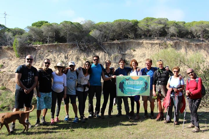
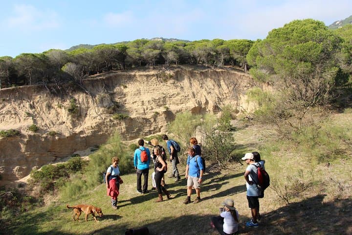
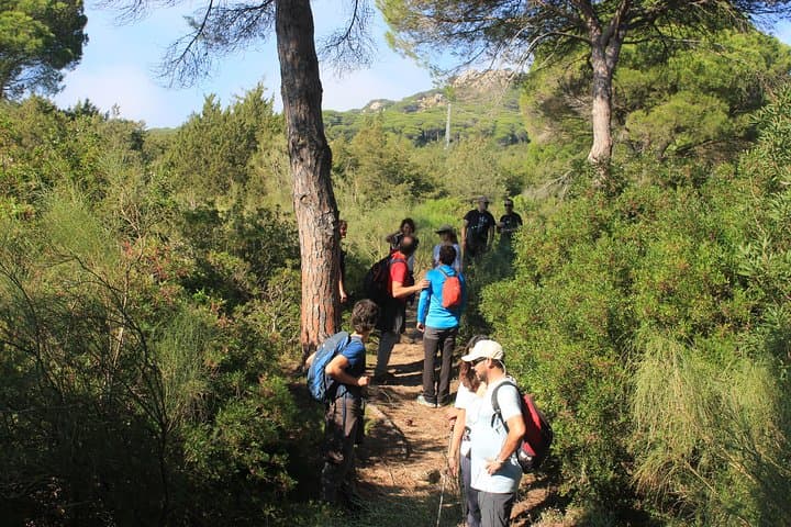
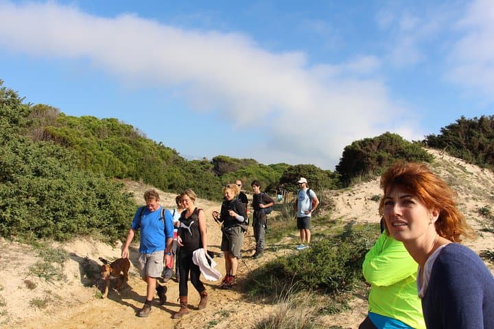
The trail opens on wind-scraped rocks at 450 meters, where the Atlantic hangs on the horizon like a pale promise. Hikers move from sun-baked ridgelines onto earth paths that soften into pine-scented tracks; the forest compresses sound, then releases it again at sudden ocean overlooks. A narrow gorge cuts through the route — its walls give the place the feel of a western set, dry gullies and shadowed steps that demand a steady stride.
The trail opens on wind-scraped rocks at 450 meters, where the Atlantic hangs on the horizon like a pale promise. Hikers move from sun-baked ridgelines onto earth paths that soften into pine-scented tracks; the forest compresses sound, then releases it again at sudden ocean overlooks. A narrow gorge cuts through the route — its walls give the place the feel of a western set, dry gullies and shadowed steps that demand a steady stride.
Geology here is straightforward: folded limestone ridges fall to sandy coastal terraces formed by ancient marine terraces and more recent aeolian sand. The human history is coastal and practical — fishing hamlets and whitewashed bars that long watched Morocco across the water. Cultural touches arrive as you reach the shore: simple coastal cuisine, fishermen’s scars on local maps, and a small bar where a beer and grilled fish feel earned.
Practical guidance is concrete. The loop is roughly 8 km with a net descent to the beach and return, taking 4–5 hours at a moderate pace. Expect steep, loose sections when dropping to the road; the climb back is steady and heart-rate raising. Bring 1–2 liters of water, sun protection, and boots with good grip for sandy and rocky mixes. There’s opportunity to swim and to walk along wild coastlines, but check currents and tides before entering the water.
Logistics: tours typically include lunch, require a moderate fitness level, and prefer at least five participants. Public transport options are nearby; many groups finish with a short drive to Zahora to relax after the hike.