THE ADVENTURE COLLECTIVE® · Independent discovery and booking for outdoor travel

Soar above the lower Tasman Glacier and make an alpine landing beneath Aoraki / Mount Cook. This 35-minute helicopter flight delivers dramatic glacier views, live pilot commentary, and a short, unforgettable time on the mountain.
Soar above the lower Tasman Glacier and make an alpine landing beneath Aoraki / Mount Cook. This 35-minute helicopter flight delivers dramatic glacier views, live pilot commentary, and a short, unforgettable time on the mountain.
You lift off from the gravel airstrip and the flat plain of the Mackenzie Basin falls away; the Southern Alps push up like a wall and Aoraki / Mount Cook dominates the skyline, snow shoulders catching the light. Below, the lower Tasman Glacier unfurls in blue-tinged crevasses that seem to breathe; the helicopter hums, and the peaks dare you to look closer.
Verified experiences and guided adventures in the surrounding area.
Operated by Glacier Helicopters · Aoraki / Mount Cook Village, Canterbury
You lift off from the gravel airstrip and the flat plain of the Mackenzie Basin falls away; the Southern Alps push up like a wall and Aoraki / Mount Cook dominates the skyline, snow shoulders catching the light. Below, the lower Tasman Glacier unfurls in blue-tinged crevasses that seem to breathe; the helicopter hums, and the peaks dare you to look closer.
The range tells geological stories: uplifted greywacke and schist folded by tectonic collision, carved by repeated glaciations into sharp ridges and deep valleys. Aoraki has long cultural significance for Ngāi Tahu—its name and presence are embedded in Māori creation narratives—and European climbers have been testing its faces since the 19th century.
From the air you’ll see the Liebig Range, the braided rivers of the Tasman outwash, and icefalls that move in slow, inevitable ways. The alpine landing provides a minute to step onto a rim of rock and snow and feel the altitude press at the edges of the world.
Practically: flights last about 35 minutes and typically include live commentary and a guided alpine landing. Weather closes runs often—high winds, low clouds, or heavy snow ground flights for safety. Book with flexible timing, bring layered, windproof clothing, and plan for rapid temperature change at altitude. Cameras are essential; keep batteries warm. For anyone seeking a concise, high-impact way to read the spine of the Southern Alps, this helicopter flight delivers direct access to glacier, rock, and sky with minimal exertion but maximum perspective.
easy.
30–40 minutes.
No particular fitness required; passengers must be able to board and sit securely for the flight.
The advertised flight time is about 35 minutes; typically the aircraft circles the Tasman Glacier and Liebig Range and makes a brief alpine landing where passengers can disembark for photos and a short walk.
Yes—operators cancel flights for high winds, low cloud, or unsafe conditions; most offer refunds or rebooking if weather prevents flying.
Operators usually request passenger weights for balance and may limit bookings for safety; infants must sit on a lap and pregnancy is often discouraged—check the provider’s booking requirements.
The flight is suitable for most people, but boarding can require stepping up into the aircraft; inform the operator of any mobility concerns before booking.
Aoraki / Mount Cook is central to Ngāi Tahu tradition and was a focal point for European alpinism in the late 1800s; the national park is part of the Te Wāhipounamu World Heritage Area.
Flights operate within Aoraki/Mount Cook National Park where aircraft access is regulated to limit disturbance; follow operator guidance and avoid littering or disturbing wildlife.
Glacier Helicopters operates guided outdoor trips and adventures with an emphasis on safety, stewardship, and memorable experiences.
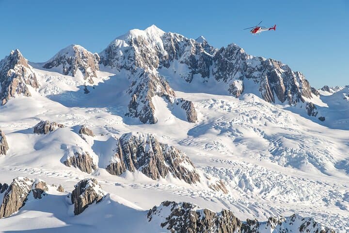
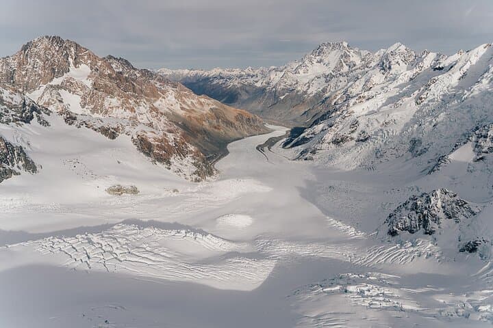
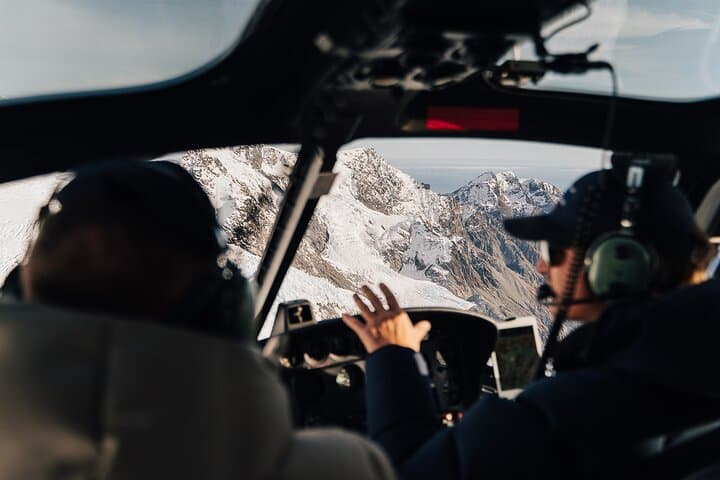
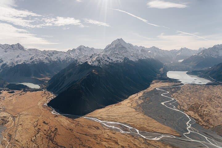
You lift off from the gravel airstrip and the flat plain of the Mackenzie Basin falls away; the Southern Alps push up like a wall and Aoraki / Mount Cook dominates the skyline, snow shoulders catching the light. Below, the lower Tasman Glacier unfurls in blue-tinged crevasses that seem to breathe; the helicopter hums, and the peaks dare you to look closer.
You lift off from the gravel airstrip and the flat plain of the Mackenzie Basin falls away; the Southern Alps push up like a wall and Aoraki / Mount Cook dominates the skyline, snow shoulders catching the light. Below, the lower Tasman Glacier unfurls in blue-tinged crevasses that seem to breathe; the helicopter hums, and the peaks dare you to look closer.
The range tells geological stories: uplifted greywacke and schist folded by tectonic collision, carved by repeated glaciations into sharp ridges and deep valleys. Aoraki has long cultural significance for Ngāi Tahu—its name and presence are embedded in Māori creation narratives—and European climbers have been testing its faces since the 19th century.
From the air you’ll see the Liebig Range, the braided rivers of the Tasman outwash, and icefalls that move in slow, inevitable ways. The alpine landing provides a minute to step onto a rim of rock and snow and feel the altitude press at the edges of the world.
Practically: flights last about 35 minutes and typically include live commentary and a guided alpine landing. Weather closes runs often—high winds, low clouds, or heavy snow ground flights for safety. Book with flexible timing, bring layered, windproof clothing, and plan for rapid temperature change at altitude. Cameras are essential; keep batteries warm. For anyone seeking a concise, high-impact way to read the spine of the Southern Alps, this helicopter flight delivers direct access to glacier, rock, and sky with minimal exertion but maximum perspective.