THE ADVENTURE COLLECTIVE® · Independent discovery and booking for outdoor travel

A guided day-hike to Aragats’ Southern Peak starts at Lake Kari and climbs a rocky 10 km route to 3,887 m. Expect panoramic views of Mount Ararat, alpine meadows, and a demanding altitude gain over 5–6 hours.
A guided day-hike to Aragats’ Southern Peak starts at Lake Kari and climbs a rocky 10 km route to 3,887 m. Expect panoramic views of Mount Ararat, alpine meadows, and a demanding altitude gain over 5–6 hours.
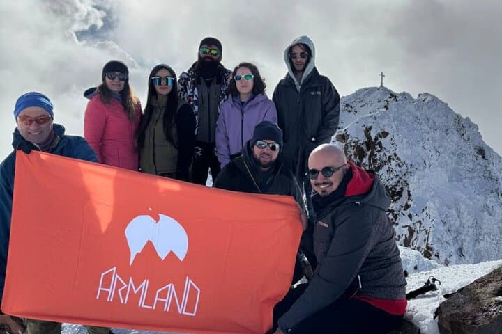
Morning light on the Aragats plateau is blunt and clean; wind scrapes across low meadows and the silhouette of Ararat looms to the south, sometimes coy behind a ribbon of cloud. The guided ascent to the Southern Peak begins at Lake Kari, a high mountain tarn where hikers tighten boots and listen as the guide sets a steady pace toward the rocky ridge.
Verified experiences and guided adventures in the surrounding area.
Operated by Armland Adventure Club · Yerevan, Aragatsotn Province
Morning light on the Aragats plateau is blunt and clean; wind scrapes across low meadows and the silhouette of Ararat looms to the south, sometimes coy behind a ribbon of cloud. The guided ascent to the Southern Peak begins at Lake Kari, a high mountain tarn where hikers tighten boots and listen as the guide sets a steady pace toward the rocky ridge.
Geologically, Aragats is an extinct stratovolcano whose eruptions carved a broad crater and produced four distinct summits. The southern peak (3,887 m) is the lowest of the four, reached via a well-marked but rocky trail that climbs roughly 600 m over about 10 km round trip. Culturally, Aragats sits at the edge of Armenian highland history; shepherding, local legends and medieval monasteries in the valleys tie modern footsteps to centuries of human passage.
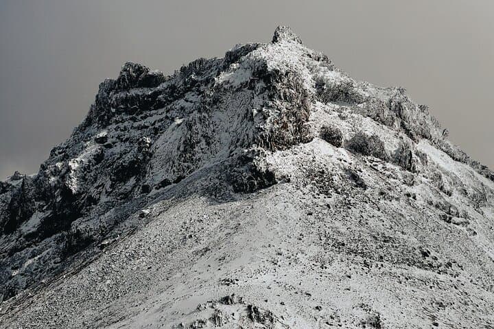
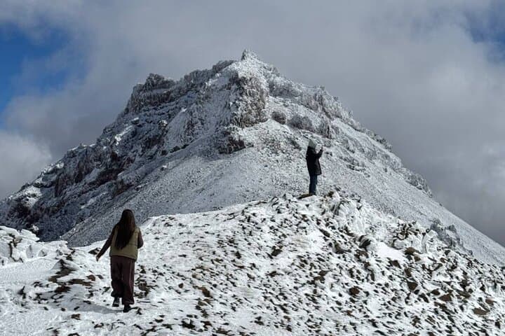
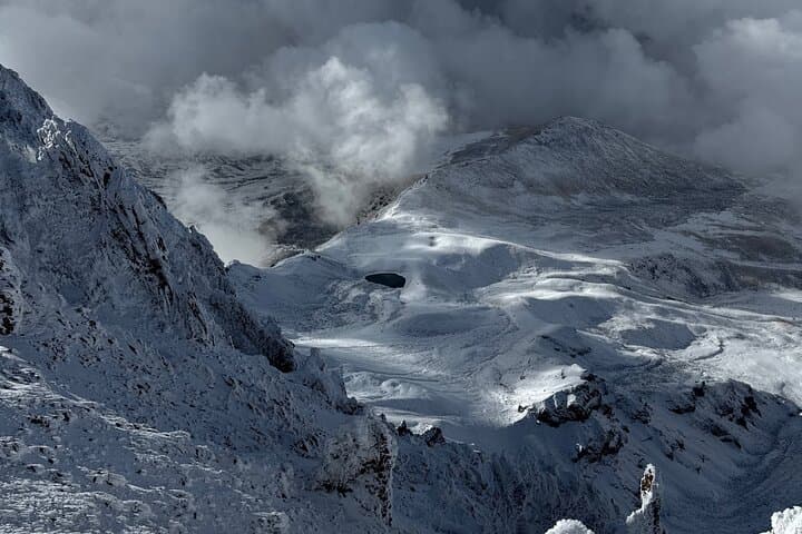
Expect volcanic scree, alpine meadows dotted with hardy wildflowers, and sudden vistas: Lake Kari below, the crater rim to the north, and on clear days Mount Ararat dominating the skyline. The trail tests lungs more than technical skills—no ropes required—but the altitude and exposed sections demand respect.
Practical guidance: plan 5–6 hours for the round trip, start early to avoid afternoon winds and cloud, and acclimate in Yerevan or nearby high villages if possible. Wear stiff-soled boots, bring 2–3 liters of water, layered clothing for wind and sun, and a camera with a secure strap. Guides typically provide bottled water, transportation, and local knowledge—bookings often run July through October when trails are largely snow-free.
challenging.
5–6 hours.
Good cardiovascular fitness and prior day-hiking experience; comfortable with sustained uphill walking at altitude.
The trail is non-technical but strenuous due to elevation (3,887 m) and a ~600 m gain; expect 5–6 hours round trip and strong cardiovascular effort.
Main climbing season runs July through October when snow recedes and routes are most stable; early summer may still have snow patches at higher elevations.
Guides are recommended for safety, logistics, and local knowledge; no special permit is typically required for day ascents, but organized tours handle transport and route planning.
Yes—symptoms include headache, nausea, and dizziness; acclimatize in lower elevations, hydrate, ascend slowly, and descend if symptoms worsen.
Aragats is an extinct volcano whose four peaks have anchored local legends and provided strategic lookout points through Armenian history.
High-altitude tundra is fragile—stick to established trails, carry out all waste, and avoid trampling sparse vegetation to minimize impact.
Armland Adventure Club operates guided outdoor trips and adventures with an emphasis on safety, stewardship, and memorable experiences.
Morning light on the Aragats plateau is blunt and clean; wind scrapes across low meadows and the silhouette of Ararat looms to the south, sometimes coy behind a ribbon of cloud. The guided ascent to the Southern Peak begins at Lake Kari, a high mountain tarn where hikers tighten boots and listen as the guide sets a steady pace toward the rocky ridge.
Morning light on the Aragats plateau is blunt and clean; wind scrapes across low meadows and the silhouette of Ararat looms to the south, sometimes coy behind a ribbon of cloud. The guided ascent to the Southern Peak begins at Lake Kari, a high mountain tarn where hikers tighten boots and listen as the guide sets a steady pace toward the rocky ridge.
Geologically, Aragats is an extinct stratovolcano whose eruptions carved a broad crater and produced four distinct summits. The southern peak (3,887 m) is the lowest of the four, reached via a well-marked but rocky trail that climbs roughly 600 m over about 10 km round trip. Culturally, Aragats sits at the edge of Armenian highland history; shepherding, local legends and medieval monasteries in the valleys tie modern footsteps to centuries of human passage.
Expect volcanic scree, alpine meadows dotted with hardy wildflowers, and sudden vistas: Lake Kari below, the crater rim to the north, and on clear days Mount Ararat dominating the skyline. The trail tests lungs more than technical skills—no ropes required—but the altitude and exposed sections demand respect.
Practical guidance: plan 5–6 hours for the round trip, start early to avoid afternoon winds and cloud, and acclimate in Yerevan or nearby high villages if possible. Wear stiff-soled boots, bring 2–3 liters of water, layered clothing for wind and sun, and a camera with a secure strap. Guides typically provide bottled water, transportation, and local knowledge—bookings often run July through October when trails are largely snow-free.