THE ADVENTURE COLLECTIVE® · Independent discovery and booking for outdoor travel

Climb through the northernmost stretch of Mexico’s tropical dry forest to a sweeping coastal viewpoint above San Pancho. This four-hour hike mixes steep singletrack, volcanic outcrops, and local natural history, with rewards of wide Pacific views and rich birdlife.
Climb through the northernmost stretch of Mexico’s tropical dry forest to a sweeping coastal viewpoint above San Pancho. This four-hour hike mixes steep singletrack, volcanic outcrops, and local natural history, with rewards of wide Pacific views and rich birdlife.
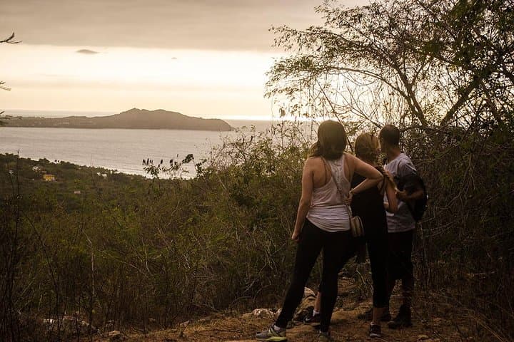
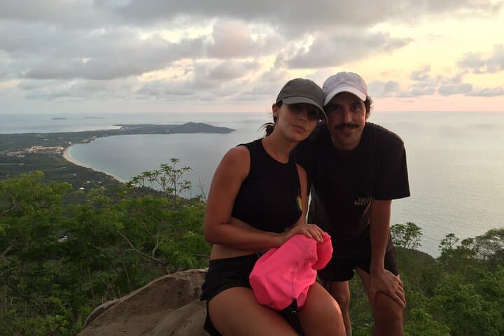
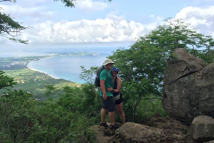
You set off from the sea-level lane in San Pancho, a warm breeze pushing salt and mangrove scents across the trailhead. The path quickly steepens into a humid, leaf-littered stair: ferns scrape ankles, and the forest seems to close ranks like a living wall. As you climb, the Pacific peeks through breaks in the canopy, each opening a wide, blue breath over the coastline.
Verified experiences and guided adventures in the surrounding area.
Operated by BiCiMAS · San Francisco (San Pancho), Nayarit
You set off from the sea-level lane in San Pancho, a warm breeze pushing salt and mangrove scents across the trailhead. The path quickly steepens into a humid, leaf-littered stair: ferns scrape ankles, and the forest seems to close ranks like a living wall. As you climb, the Pacific peeks through breaks in the canopy, each opening a wide, blue breath over the coastline.
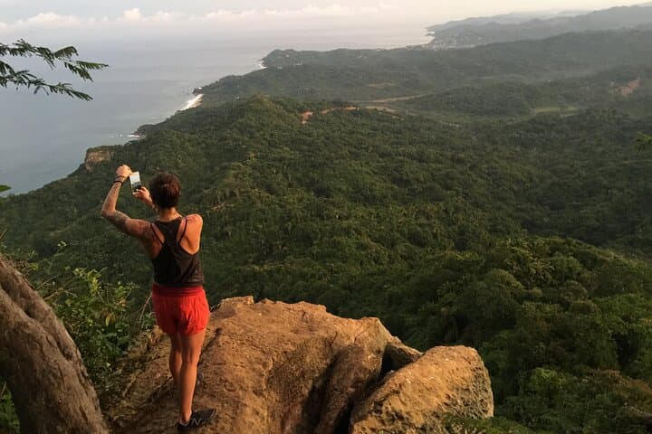
This ridge marks the northern edge of Mexico’s tropical dry forest zone where seasonal rains and volcanic soils shaped steep, rocky outcrops that now give panoramic views south along the Riviera Nayarit. Local fishermen and small coastal towns have long used these high points as navigation markers; the trail threads through secondary forest and patches of native palms, with evidence of recent reforestation efforts.
Expect tropical bird calls, the distant rumble of surf, and the occasional spider monkey—or at least remnants of primate activity—that lend the route its name. The geology is compact volcanic rock under a shallow soil mantle, so drainage is good but the trail can get slick after rain.
Practicalities: the full loop and viewpoint take roughly four hours with steady climbing sections; terrain is singletrack, switchbacks, and some loose rock. Start early to avoid the midday heat, carry at least 1.5–2 liters of water, and wear grippy hiking shoes. Local guides from San Pancho provide transport to the trailhead and context on flora, fauna, and cultural history—book in advance during high season. Leave no trace: stay on the trail, pack out trash, and respect local wildlife.
moderate.
4–5 hours.
Suitable for hikers who are lightly to moderately fit and comfortable with sustained uphill sections and uneven terrain for several hours.
The guided outing is about 4–5 hours with steady climbs and some steep switchbacks; it’s moderate in difficulty and suitable for most active visitors.
Meeting is in central San Pancho (BiCiMAS corner of Avenida Tercer Mundo and America Latina); many tours include private transport to the trailhead.
You may spot spider monkey activity or hear calls, but sightings aren't guaranteed—habitat is fragmented and animals are mobile.
Bring water, sturdy shoes, sun protection, a light rain layer in wet months, and cash for snacks or local vendors.
Local communities have used these ridgelines for navigation and lookout purposes for generations; the forest here represents a northern reach of Mexico’s Pacific dry forest.
Development pressure and seasonal agriculture fragment habitat—stay on established trails, avoid feeding wildlife, and support local guide services that practice sustainable tourism.
BiCiMAS operates guided outdoor trips and adventures with an emphasis on safety, stewardship, and memorable experiences.
You set off from the sea-level lane in San Pancho, a warm breeze pushing salt and mangrove scents across the trailhead. The path quickly steepens into a humid, leaf-littered stair: ferns scrape ankles, and the forest seems to close ranks like a living wall. As you climb, the Pacific peeks through breaks in the canopy, each opening a wide, blue breath over the coastline.
You set off from the sea-level lane in San Pancho, a warm breeze pushing salt and mangrove scents across the trailhead. The path quickly steepens into a humid, leaf-littered stair: ferns scrape ankles, and the forest seems to close ranks like a living wall. As you climb, the Pacific peeks through breaks in the canopy, each opening a wide, blue breath over the coastline.
This ridge marks the northern edge of Mexico’s tropical dry forest zone where seasonal rains and volcanic soils shaped steep, rocky outcrops that now give panoramic views south along the Riviera Nayarit. Local fishermen and small coastal towns have long used these high points as navigation markers; the trail threads through secondary forest and patches of native palms, with evidence of recent reforestation efforts.
Expect tropical bird calls, the distant rumble of surf, and the occasional spider monkey—or at least remnants of primate activity—that lend the route its name. The geology is compact volcanic rock under a shallow soil mantle, so drainage is good but the trail can get slick after rain.
Practicalities: the full loop and viewpoint take roughly four hours with steady climbing sections; terrain is singletrack, switchbacks, and some loose rock. Start early to avoid the midday heat, carry at least 1.5–2 liters of water, and wear grippy hiking shoes. Local guides from San Pancho provide transport to the trailhead and context on flora, fauna, and cultural history—book in advance during high season. Leave no trace: stay on the trail, pack out trash, and respect local wildlife.