THE ADVENTURE COLLECTIVE® · Independent discovery and booking for outdoor travel

Get an aerial orientation of Moab in 45 minutes: redrock arches, river meanders and potash ponds unfold beneath small-plane wings. This family-friendly flight pairs pilot narration with headset commentary — a compact, scenic way to see Arches and Canyonlands in one sweep.
Get an aerial orientation of Moab in 45 minutes: redrock arches, river meanders and potash ponds unfold beneath small-plane wings. This family-friendly flight pairs pilot narration with headset commentary — a compact, scenic way to see Arches and Canyonlands in one sweep.
On the tarmac at Canyonlands Airport the plane is both small and authoritative: a single prop that promises intimate lines through an enormous landscape. As the aircraft lifts, the scale of the redrock country snaps into view — ridgelines peel away like pages, river meanders glitter, and arches that look like punctuation marks carve holes in the desert. In forty-five minutes the tour converts a map of names into a sequence of moments: Corona and Tibbets Arches pass below like stage sets; the Colorado and Green Rivers trade glints and sediment bands; the Potash evaporation ponds announce themselves with impossible swaths of teal.
Verified experiences and guided adventures in the surrounding area.
Operated by Redtail Air · Moab, Utah
On the tarmac at Canyonlands Airport the plane is both small and authoritative: a single prop that promises intimate lines through an enormous landscape. As the aircraft lifts, the scale of the redrock country snaps into view — ridgelines peel away like pages, river meanders glitter, and arches that look like punctuation marks carve holes in the desert. In forty-five minutes the tour converts a map of names into a sequence of moments: Corona and Tibbets Arches pass below like stage sets; the Colorado and Green Rivers trade glints and sediment bands; the Potash evaporation ponds announce themselves with impossible swaths of teal.
Geology here reads like a field manual. The canyons are recent in geologic terms, incisions sliced through layers of Navajo sandstone and older formations by rivers and episodic uplift. The Moab Fault shows as a subtle rupture across the landscape; towers such as Determination rise where erosion found a weakness and worked without mercy. Human history sits lightly on this terrain — ancestral Puebloans and Ute peoples traveled these mesas long before settlers arrived for mining, ranching and later recreation. Closer to modern memory, places like Thelma and Louise Point carry a cinematic afterlife that contrasts with the slow, stoic erosion at work across the valleys.
Redtail Air, the operator on this flight, has run tours around Moab for decades and keeps the experience intentionally simple: meet at the terminal, brief safety instructions, headphones handed out so pilots describe what’s below in real time. The route hits Arches and Canyonlands panoramas, flies low over several named arches and brushes past Mineral Canyon and Dead Horse Point. For families this flight is designed to be accessible — infants ride on laps, and the aircraft and airport report wheelchair-accessible surfaces — but guests should consider motion sensitivity and cardiovascular limits; operators note that the flight is not recommended for those with serious heart trouble.
Practical planning matters more than you might expect. Book morning or late-afternoon slots for softer light and less heat; midday sun flattens the shadows that make the land readable. Arrive 30 minutes early to allow for weight-and-balance questions and preflight briefings. Bring a small bottle of water, wear layered sun protection, secure cameras to wrist straps, and expect to exchange quiet for the pilot’s narration through your headset. Weather cancels low-level flights; flexible plans and a refundable window up to 24 hours help.
Forty-five minutes of altitude compresses miles of canyon country into an easily digestible sequence — it’s an orientation flight and a visual feast. If you want to learn the names on a map and remember why they matter, it’s the fastest, most cinematic way to read this landscape.
easy.
45 minutes.
Minimal physical exertion required; suitable for most people though not recommended for those with serious heart conditions
The flight is a fixed 45-minute aerial tour that departs from Canyonlands Airport.
Yes — infants must sit on an adult's lap during the flight, per operator policy.
Yes — the airport and boarding surfaces are reported wheelchair accessible; notify the operator when booking.
Flights are canceled in poor weather; the operator's policy allows full refunds if canceled at least 24 hours before departure or by the company when necessary.
Absolutely — cameras and smartphones are encouraged; secure them with straps and use your headset to time photos with pilot cues.
Yes — aviation headsets are supplied so you can hear the pilot’s narration and reduce engine noise.
The Moab area has long been inhabited by ancestral Puebloan and Ute peoples; later settlers developed mining and potash industries that shaped modern access roads and viewpoints.
Low-level flights are regulated to minimize noise impacts on wildlife; operators are encouraged to follow set corridors and avoid repeated low passes near nesting areas.
Redtail Air operates guided outdoor trips and adventures with an emphasis on safety, stewardship, and memorable experiences.
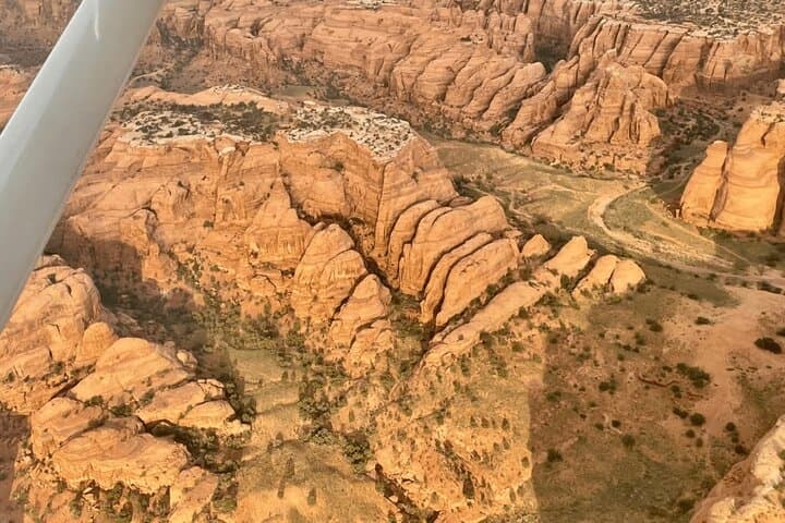
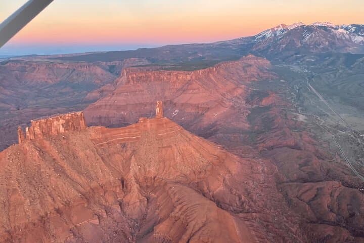
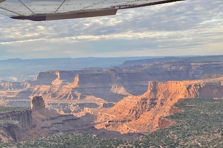
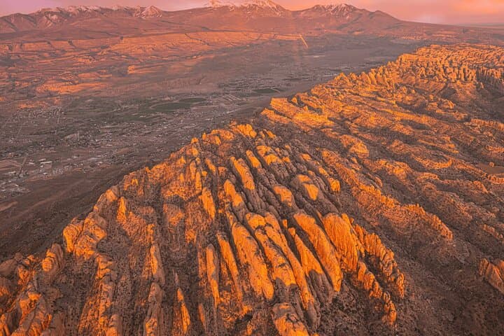
On the tarmac at Canyonlands Airport the plane is both small and authoritative: a single prop that promises intimate lines through an enormous landscape. As the aircraft lifts, the scale of the redrock country snaps into view — ridgelines peel away like pages, river meanders glitter, and arches that look like punctuation marks carve holes in the desert. In forty-five minutes the tour converts a map of names into a sequence of moments: Corona and Tibbets Arches pass below like stage sets; the Colorado and Green Rivers trade glints and sediment bands; the Potash evaporation ponds announce themselves with impossible swaths of teal.
On the tarmac at Canyonlands Airport the plane is both small and authoritative: a single prop that promises intimate lines through an enormous landscape. As the aircraft lifts, the scale of the redrock country snaps into view — ridgelines peel away like pages, river meanders glitter, and arches that look like punctuation marks carve holes in the desert. In forty-five minutes the tour converts a map of names into a sequence of moments: Corona and Tibbets Arches pass below like stage sets; the Colorado and Green Rivers trade glints and sediment bands; the Potash evaporation ponds announce themselves with impossible swaths of teal.
Geology here reads like a field manual. The canyons are recent in geologic terms, incisions sliced through layers of Navajo sandstone and older formations by rivers and episodic uplift. The Moab Fault shows as a subtle rupture across the landscape; towers such as Determination rise where erosion found a weakness and worked without mercy. Human history sits lightly on this terrain — ancestral Puebloans and Ute peoples traveled these mesas long before settlers arrived for mining, ranching and later recreation. Closer to modern memory, places like Thelma and Louise Point carry a cinematic afterlife that contrasts with the slow, stoic erosion at work across the valleys.
Redtail Air, the operator on this flight, has run tours around Moab for decades and keeps the experience intentionally simple: meet at the terminal, brief safety instructions, headphones handed out so pilots describe what’s below in real time. The route hits Arches and Canyonlands panoramas, flies low over several named arches and brushes past Mineral Canyon and Dead Horse Point. For families this flight is designed to be accessible — infants ride on laps, and the aircraft and airport report wheelchair-accessible surfaces — but guests should consider motion sensitivity and cardiovascular limits; operators note that the flight is not recommended for those with serious heart trouble.
Practical planning matters more than you might expect. Book morning or late-afternoon slots for softer light and less heat; midday sun flattens the shadows that make the land readable. Arrive 30 minutes early to allow for weight-and-balance questions and preflight briefings. Bring a small bottle of water, wear layered sun protection, secure cameras to wrist straps, and expect to exchange quiet for the pilot’s narration through your headset. Weather cancels low-level flights; flexible plans and a refundable window up to 24 hours help.
Forty-five minutes of altitude compresses miles of canyon country into an easily digestible sequence — it’s an orientation flight and a visual feast. If you want to learn the names on a map and remember why they matter, it’s the fastest, most cinematic way to read this landscape.