THE ADVENTURE COLLECTIVE® · Independent discovery and booking for outdoor travel

See Mendoza and the precordillera from above on a private scenic flight — panoramic views of vineyards, river valleys and the Andes. Weather-dependent and rich in geographic context, this is an efficient way to orient yourself to the region.
See Mendoza and the precordillera from above on a private scenic flight — panoramic views of vineyards, river valleys and the Andes. Weather-dependent and rich in geographic context, this is an efficient way to orient yourself to the region.
A small aircraft lifts off from the outskirts of Mendoza and the city shrinks into a grid of red-tiled roofs and irrigated vineyards. The precordillera pushes close, raw ridgelines sliding into snowcaps; below, irrigation canals cut bright ribbons through the patchwork of vineyards. Wind on the plane’s skin and the pilot’s calm voice frame a view that alternates between intimate city detail and wide, teeth-of-rock silhouettes of the Andes.
Verified experiences and guided adventures in the surrounding area.
Operated by AcroFly Parapente · Mendoza, Mendoza Province
A small aircraft lifts off from the outskirts of Mendoza and the city shrinks into a grid of red-tiled roofs and irrigated vineyards. The precordillera pushes close, raw ridgelines sliding into snowcaps; below, irrigation canals cut bright ribbons through the patchwork of vineyards. Wind on the plane’s skin and the pilot’s calm voice frame a view that alternates between intimate city detail and wide, teeth-of-rock silhouettes of the Andes.
The flight traces a landscape shaped by the Andean uplift and glacial sculpting: terraces of alluvial fans, river-cut valleys, and the long shadow of Aconcagua on clear days. Mendoza’s culture — viticulture, mountain guiding, and gaucho ranching — is visible from above in the neat rows of Malbec vines and the distant corrals. This kind of scenic aerial tour is as much about orientation as it is about spectacle: it shows how irrigation, geology and human craft combine in this arid foothill environment.
Practically, the experience is weather-driven; mornings often offer the most stable air, and flights can be postponed if winds or low cloud close visibility. Travelers should expect a private, guided flight that includes photos and a short ground transfer, with light physical demand but strict safety checks. Bring a windproof layer, sunglasses and a camera with a wide-angle lens; secure loose items and follow the crew’s briefing on door and window use. For those who want a quick, high-impact introduction to Mendoza and the precordillera, a height flight delivers sweeping context and memorable perspectives that ground-based outings can’t match.
easy.
4 hours.
Light — passengers need only be able to board/exit a small aircraft and follow safety briefings
The advertised duration is about four hours total, which typically includes transfers, pre-flight briefing, and the flight time itself.
Operators commonly cancel or reschedule flights for poor visibility or strong winds; you’ll be offered a refund or an alternate date if cancelled at least 24 hours in advance.
This flight is suitable for most people but isn’t recommended for pregnant travelers or those with serious cardiovascular or spinal conditions — consult the operator if unsure.
Yes — photos and video are typically allowed and often included; secure cameras with straps and follow crew instructions about windows and doors.
Mendoza’s valley has been shaped by indigenous irrigation practices and later by colonial and modern viticulture; aerial views reveal terraces and canal systems central to the city’s growth.
The precordillera is sensitive to erosion and water stress; visitors should minimize disturbance, follow operator rules, and support local businesses that practice sustainable water use.
AcroFly Parapente operates guided outdoor trips and adventures with an emphasis on safety, stewardship, and memorable experiences.
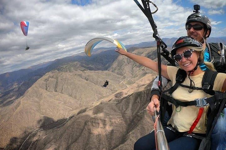
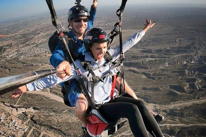
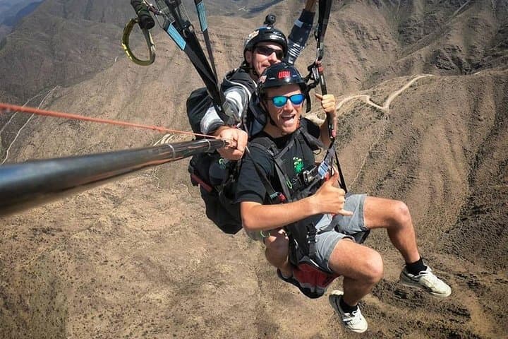
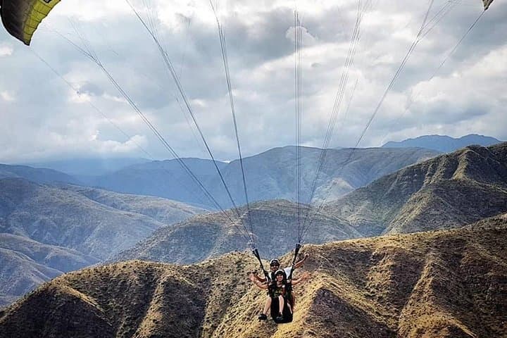
A small aircraft lifts off from the outskirts of Mendoza and the city shrinks into a grid of red-tiled roofs and irrigated vineyards. The precordillera pushes close, raw ridgelines sliding into snowcaps; below, irrigation canals cut bright ribbons through the patchwork of vineyards. Wind on the plane’s skin and the pilot’s calm voice frame a view that alternates between intimate city detail and wide, teeth-of-rock silhouettes of the Andes.
A small aircraft lifts off from the outskirts of Mendoza and the city shrinks into a grid of red-tiled roofs and irrigated vineyards. The precordillera pushes close, raw ridgelines sliding into snowcaps; below, irrigation canals cut bright ribbons through the patchwork of vineyards. Wind on the plane’s skin and the pilot’s calm voice frame a view that alternates between intimate city detail and wide, teeth-of-rock silhouettes of the Andes.
The flight traces a landscape shaped by the Andean uplift and glacial sculpting: terraces of alluvial fans, river-cut valleys, and the long shadow of Aconcagua on clear days. Mendoza’s culture — viticulture, mountain guiding, and gaucho ranching — is visible from above in the neat rows of Malbec vines and the distant corrals. This kind of scenic aerial tour is as much about orientation as it is about spectacle: it shows how irrigation, geology and human craft combine in this arid foothill environment.
Practically, the experience is weather-driven; mornings often offer the most stable air, and flights can be postponed if winds or low cloud close visibility. Travelers should expect a private, guided flight that includes photos and a short ground transfer, with light physical demand but strict safety checks. Bring a windproof layer, sunglasses and a camera with a wide-angle lens; secure loose items and follow the crew’s briefing on door and window use. For those who want a quick, high-impact introduction to Mendoza and the precordillera, a height flight delivers sweeping context and memorable perspectives that ground-based outings can’t match.