THE ADVENTURE COLLECTIVE® · Independent discovery and booking for outdoor travel

A 15-day, permit-required loop through the Manaslu restricted area that climbs to Larkya La (≈5,160 m). Expect remote villages, Buddhist monasteries, glacial basins and challenging high-altitude days—best for trekkers prepared for sustained elevation and basic mountain lodges.
A 15-day, permit-required loop through the Manaslu restricted area that climbs to Larkya La (≈5,160 m). Expect remote villages, Buddhist monasteries, glacial basins and challenging high-altitude days—best for trekkers prepared for sustained elevation and basic mountain lodges.
You step out of the dusty bus at Arughat and the valley exhales: terraced fields give way to conifer shadow, the Budi Gandaki river hurries like a rumor, and the trail narrows into stone-paved steps and prayer flags. Over the next two weeks you cross villages shaped by Tibetan culture, skirt glacial lakes, and climb to the Larkya La (≈5,160 m) where Manaslu fills the sky.
Verified experiences and guided adventures in the surrounding area.
Operated by Himalayan Smile Treks and Adventure Pvt. Ltd · Kathmandu, Bagmati Province
You step out of the dusty bus at Arughat and the valley exhales: terraced fields give way to conifer shadow, the Budi Gandaki river hurries like a rumor, and the trail narrows into stone-paved steps and prayer flags. Over the next two weeks you cross villages shaped by Tibetan culture, skirt glacial lakes, and climb to the Larkya La (≈5,160 m) where Manaslu fills the sky.
Opened for trekkers in 1992, the Manaslu circuit runs along the boundary with Tibet and preserves remote communities—Gurung villages, Buddhist monasteries and settlements of Tibetan origin. Geologically the route follows river-cut valleys and moraine terraces carved by Himalayan uplift and retreating glaciers; expect loose scree, steep cols and high alpine basins.
Culture is visible at every teahouse: chortens, mani walls and yak caravans underline a subsistence life adapted to altitude. The trip requires a Manaslu Restricted Area Permit (MCAP/ACAP); a licensed guide and permits are mandatory because the region is controlled and infrastructure is limited.
Practical guidance: this is challenging high-altitude trekking—plan for steady acclimatization days, layered clothing for dramatic temperature swings, and boots that handle wet trails and scree. Daily walking ranges from easy village strolls to long ascent days (Larkya approach can be a 10–12 hour push with early starts). Hydrate, monitor for acute mountain sickness, and budget time for weather delays during shoulder seasons. Lodging is local mountain lodges—simple, warm and essential for recovery. With disciplined pacing and respect for altitude, the Manaslu circuit rewards with raw Himalayan views and cultural intimacy rare on busier Nepalese trails.
challenging.
15 days.
Good cardiovascular fitness and previous multi-day trekking experience; able to hike 6–8 hours on consecutive days at altitude.
Yes—Manaslu is a restricted area requiring an MCAP/ACAP permit and trekkers must be accompanied by a licensed guide.
The route crosses Larkya La, approximately 5,160 meters (16,930 feet); Manaslu Base Camp excursions reach about 4,800 m.
You should have good endurance for multi-day trekking, able to hike 6–8 hours daily carrying a daypack and manage steep ascents at altitude.
Autumn (September–November) offers the most stable weather and clear views; spring is also excellent for rhododendron blooms.
The Manaslu area lies along old trans-Himalayan routes with Tibetan cultural influence; trekking opened in 1992 under a government-managed restricted area system.
The region is protected by ACAP/MCAP regulations; trekkers should pack out waste, minimize firewood use, and support local lodges to reduce environmental impact.
Himalayan Smile Treks and Adventure Pvt. Ltd operates guided outdoor trips and adventures with an emphasis on safety, stewardship, and memorable experiences.
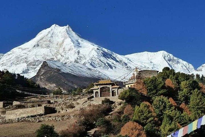
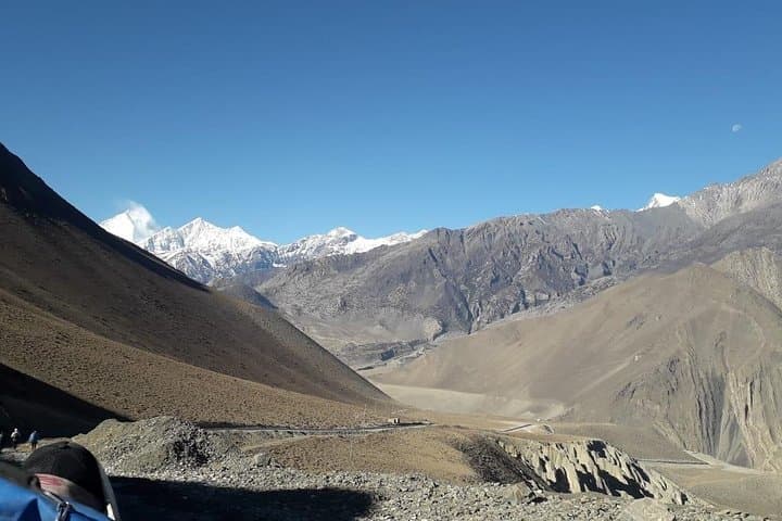
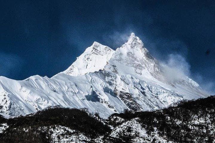
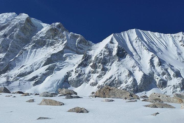
You step out of the dusty bus at Arughat and the valley exhales: terraced fields give way to conifer shadow, the Budi Gandaki river hurries like a rumor, and the trail narrows into stone-paved steps and prayer flags. Over the next two weeks you cross villages shaped by Tibetan culture, skirt glacial lakes, and climb to the Larkya La (≈5,160 m) where Manaslu fills the sky.
You step out of the dusty bus at Arughat and the valley exhales: terraced fields give way to conifer shadow, the Budi Gandaki river hurries like a rumor, and the trail narrows into stone-paved steps and prayer flags. Over the next two weeks you cross villages shaped by Tibetan culture, skirt glacial lakes, and climb to the Larkya La (≈5,160 m) where Manaslu fills the sky.
Opened for trekkers in 1992, the Manaslu circuit runs along the boundary with Tibet and preserves remote communities—Gurung villages, Buddhist monasteries and settlements of Tibetan origin. Geologically the route follows river-cut valleys and moraine terraces carved by Himalayan uplift and retreating glaciers; expect loose scree, steep cols and high alpine basins.
Culture is visible at every teahouse: chortens, mani walls and yak caravans underline a subsistence life adapted to altitude. The trip requires a Manaslu Restricted Area Permit (MCAP/ACAP); a licensed guide and permits are mandatory because the region is controlled and infrastructure is limited.
Practical guidance: this is challenging high-altitude trekking—plan for steady acclimatization days, layered clothing for dramatic temperature swings, and boots that handle wet trails and scree. Daily walking ranges from easy village strolls to long ascent days (Larkya approach can be a 10–12 hour push with early starts). Hydrate, monitor for acute mountain sickness, and budget time for weather delays during shoulder seasons. Lodging is local mountain lodges—simple, warm and essential for recovery. With disciplined pacing and respect for altitude, the Manaslu circuit rewards with raw Himalayan views and cultural intimacy rare on busier Nepalese trails.