THE ADVENTURE COLLECTIVE® · Independent discovery and booking for outdoor travel

The Manaslu Circuit Trek is a 10–14 day high-altitude loop around Mount Manaslu that moves from river valleys to the 5,160 m Larkya La pass. Expect remote villages, guesthouse stays, and sustained altitude gains—permit required.
The Manaslu Circuit Trek is a 10–14 day high-altitude loop around Mount Manaslu that moves from river valleys to the 5,160 m Larkya La pass. Expect remote villages, guesthouse stays, and sustained altitude gains—permit required.
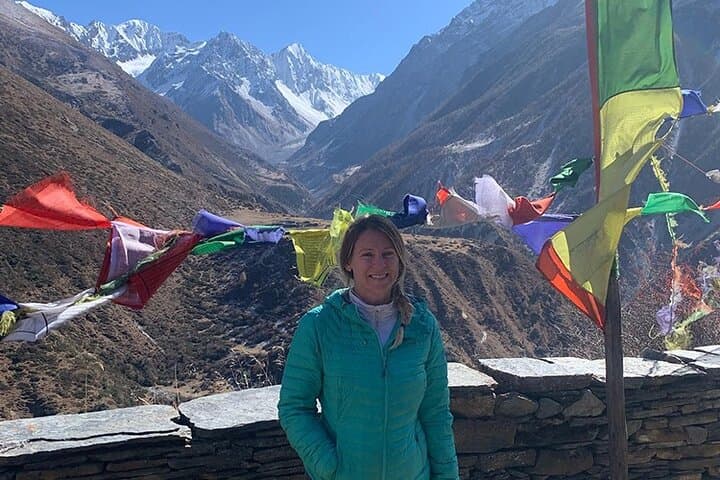
Fog lifts off the Budhi Gandaki as you step from the jeep in Machhakhola, the river daring you forward along a path that will climb from humid rice terraces into thin, cold air. The trail threads through bamboo and oak, passes villages of stone and wood, and eventually opens onto hotels of stone and sky where the eighth-highest peak watches every step.
Verified experiences and guided adventures in the surrounding area.
Operated by Everest Trekking Routes Pvt. Ltd. · Kathmandu, Bagmati Province
Fog lifts off the Budhi Gandaki as you step from the jeep in Machhakhola, the river daring you forward along a path that will climb from humid rice terraces into thin, cold air. The trail threads through bamboo and oak, passes villages of stone and wood, and eventually opens onto hotels of stone and sky where the eighth-highest peak watches every step.
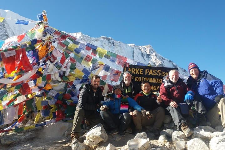
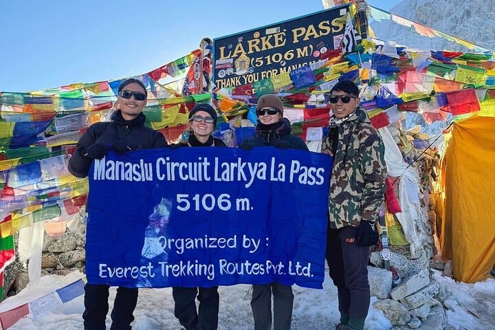
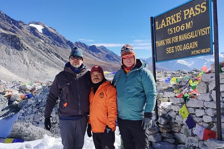
Historically the Manaslu Circuit opened to trekkers only after conservation and permit systems protected the valley’s fragile communities and ecosystems. Geologically the route moves from subtropical river gorges to glacial moraines; Larkya La (5,160 m) is a wind-scraped knuckle of rock and ice that separates those worlds. Culturally you pass Gurung and Tibetan-influenced villages — prayer flags, mani stones, and chortens mark trade routes once used by yak caravans.
Expect long, steady days: 10–14 days, roughly 177 km total with sustained altitude gain and one technically simple but exposed pass. Tea-house accommodation is basic above Soti Khola; food is hearty dal bhat and soups that restore lost calories. Acclimatization days around Samagaun/Samdo are non-negotiable.
Practical advice: train with long hikes and weighted packs, prioritize a warm down jacket and a quality sleeping bag rated for subzero temps, and carry a pulse oximeter or monitor for altitude signs. Permits (Manaslu Special Permit, ACAP/MCAP) are required and checked. Start early in the day to avoid afternoon snow or rockfall conditions on higher approaches and plan buffer days for weather or acclimatization.
The route rewards persistence: raw mountain light, close-up glacial views, and villages that feel as if the Himalaya themselves are still being lived in.
challenging.
10–14 days.
Should be in strong aerobic shape with experience doing multi-day hikes and carrying a daypack; previous high-altitude trekking experience recommended.
You need the Manaslu Special Permit plus Annapurna Conservation Area Project (ACAP) and Manaslu Conservation Area (MCAP) permits; guides typically help secure them before entry.
Spring (March–May) and autumn (September–November) offer the most stable weather and clear mountain views; monsoon brings heavy rain and landslide risk.
Larkya La is not technical but is long, steep, and above 5,000 m—expect cold, wind, and reduced oxygen; fitness and acclimatization are crucial.
Yes; basic tea-house accommodation with shared or twin rooms and simple meals is available throughout the circuit up to high-altitude stops.
The Manaslu region was historically a trade corridor between Nepal and Tibet; formal trekking opened after conservation measures and local permit systems were enacted.
The Manaslu Conservation Area restricts entry and limits visitor impact; follow permit rules, pack out waste, and use local teahouses to support communities.
Everest Trekking Routes Pvt. Ltd. operates guided outdoor trips and adventures with an emphasis on safety, stewardship, and memorable experiences.
Fog lifts off the Budhi Gandaki as you step from the jeep in Machhakhola, the river daring you forward along a path that will climb from humid rice terraces into thin, cold air. The trail threads through bamboo and oak, passes villages of stone and wood, and eventually opens onto hotels of stone and sky where the eighth-highest peak watches every step.
Fog lifts off the Budhi Gandaki as you step from the jeep in Machhakhola, the river daring you forward along a path that will climb from humid rice terraces into thin, cold air. The trail threads through bamboo and oak, passes villages of stone and wood, and eventually opens onto hotels of stone and sky where the eighth-highest peak watches every step.
Historically the Manaslu Circuit opened to trekkers only after conservation and permit systems protected the valley’s fragile communities and ecosystems. Geologically the route moves from subtropical river gorges to glacial moraines; Larkya La (5,160 m) is a wind-scraped knuckle of rock and ice that separates those worlds. Culturally you pass Gurung and Tibetan-influenced villages — prayer flags, mani stones, and chortens mark trade routes once used by yak caravans.
Expect long, steady days: 10–14 days, roughly 177 km total with sustained altitude gain and one technically simple but exposed pass. Tea-house accommodation is basic above Soti Khola; food is hearty dal bhat and soups that restore lost calories. Acclimatization days around Samagaun/Samdo are non-negotiable.
Practical advice: train with long hikes and weighted packs, prioritize a warm down jacket and a quality sleeping bag rated for subzero temps, and carry a pulse oximeter or monitor for altitude signs. Permits (Manaslu Special Permit, ACAP/MCAP) are required and checked. Start early in the day to avoid afternoon snow or rockfall conditions on higher approaches and plan buffer days for weather or acclimatization.
The route rewards persistence: raw mountain light, close-up glacial views, and villages that feel as if the Himalaya themselves are still being lived in.