THE ADVENTURE COLLECTIVE® · Independent discovery and booking for outdoor travel

Walk a preserved slice of Edo Japan on the Magome–Tsumago segment of the Nakasendo. This 7–9 km mountain trail pairs hilltop views and river-carved geology with living post towns and practical, walkable history.
Walk a preserved slice of Edo Japan on the Magome–Tsumago segment of the Nakasendo. This 7–9 km mountain trail pairs hilltop views and river-carved geology with living post towns and practical, walkable history.
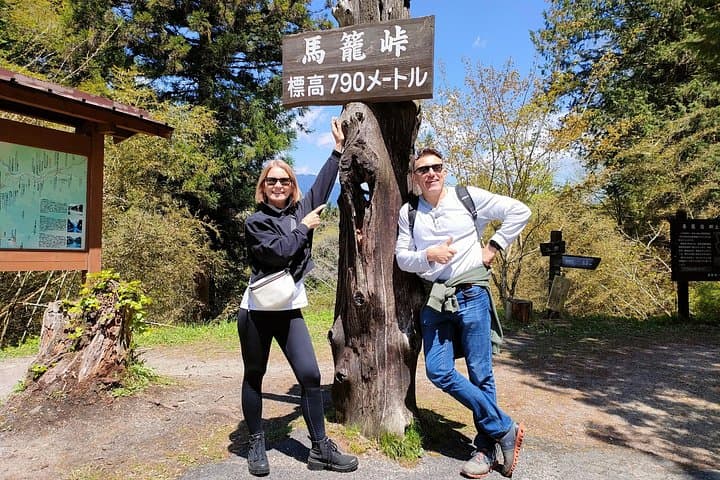
You step off the bus into thin mountain air and the wooden facades of Magome-juku rise up the ridge like an arranged crowd. The trail leaves the paved post town and narrows into packed earth, pine needles cushioning each step as the valley opens and the river below dares you to look down.
Verified experiences and guided adventures in the surrounding area.
Operated by Trip Designer Inc. · Nakatsugawa, Gifu Prefecture
You step off the bus into thin mountain air and the wooden facades of Magome-juku rise up the ridge like an arranged crowd. The trail leaves the paved post town and narrows into packed earth, pine needles cushioning each step as the valley opens and the river below dares you to look down.
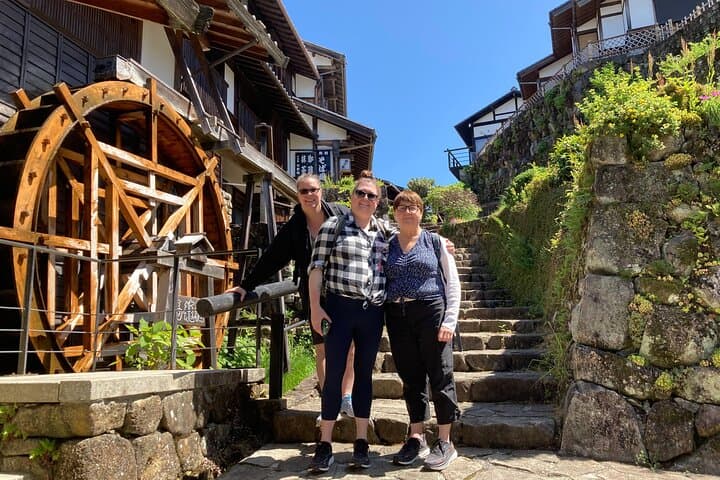
This stretch of the Nakasendo was a lifeline in the Edo period—samurai, merchants and travelers followed this inland route between Kyoto and Edo. The geology here is folded schist and granite, carved by rivers into narrow valleys and ceded slopes that support old-growth cedars and beech. Tsumago-juku preserves Edo-era architecture under strict protection; walking its main streets feels like moving through living history rather than a museum piece.
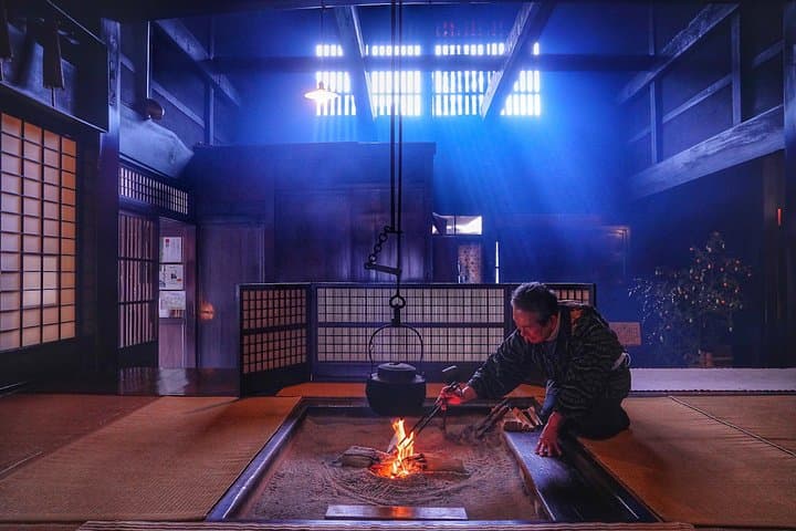
Expect 7–9 km of trail with short, sometimes steep pitches (Magome sits near 600 m, the observatory crest around 800 m). Terrain alternates firm dirt, stone steps and occasional wet roots; creeks thread the route and small waterfalls mark natural rest stops. Local culture is visible in ryokan doorways, family-run soba shops and signs explaining post-town life; guides often point out artifacts and tell stories of sankin-kotai and mountain livelihoods.
Practical notes: allow a full day for transport, stops and museum visits; wear grippy shoes, pack a rain shell and water, and bring cash for small shops. Start early to avoid crowds and to catch the late-afternoon light on Mt. Ena—this hike rewards steady pacing and curiosity.
moderate.
6–7 hours.
Good aerobic fitness; able to hike uneven trails for multiple hours with short climbs.
The walking route between the two post towns is roughly 7–9 km depending on exact start and end points and takes about 3–4 hours of walking plus stops.
The path is well-marked and maintained, but contains steep sections and uneven steps—novice hikers should be prepared for sustained effort and bring appropriate footwear.
Yes—both Magome and Tsumago have public restrooms and several teahouses and restaurants en route, but choices are limited once you leave the towns so bring snacks and cash.
No permit is required; a guide enhances historical context and logistics. This tour includes an English guide, bus transfers and entrance to selected sites.
The Nakasendo was one of five Edo-period highways linking regional daimyō with the capital; Magome and Tsumago operated as official post towns serving travelers and officials.
Tsumago is managed under strict preservation rules that limit development—stay on paths, avoid single-use plastics, and support local businesses to help maintain the living historic district.
Trip Designer Inc. operates guided outdoor trips and adventures with an emphasis on safety, stewardship, and memorable experiences.
You step off the bus into thin mountain air and the wooden facades of Magome-juku rise up the ridge like an arranged crowd. The trail leaves the paved post town and narrows into packed earth, pine needles cushioning each step as the valley opens and the river below dares you to look down.
You step off the bus into thin mountain air and the wooden facades of Magome-juku rise up the ridge like an arranged crowd. The trail leaves the paved post town and narrows into packed earth, pine needles cushioning each step as the valley opens and the river below dares you to look down.
This stretch of the Nakasendo was a lifeline in the Edo period—samurai, merchants and travelers followed this inland route between Kyoto and Edo. The geology here is folded schist and granite, carved by rivers into narrow valleys and ceded slopes that support old-growth cedars and beech. Tsumago-juku preserves Edo-era architecture under strict protection; walking its main streets feels like moving through living history rather than a museum piece.
Expect 7–9 km of trail with short, sometimes steep pitches (Magome sits near 600 m, the observatory crest around 800 m). Terrain alternates firm dirt, stone steps and occasional wet roots; creeks thread the route and small waterfalls mark natural rest stops. Local culture is visible in ryokan doorways, family-run soba shops and signs explaining post-town life; guides often point out artifacts and tell stories of sankin-kotai and mountain livelihoods.
Practical notes: allow a full day for transport, stops and museum visits; wear grippy shoes, pack a rain shell and water, and bring cash for small shops. Start early to avoid crowds and to catch the late-afternoon light on Mt. Ena—this hike rewards steady pacing and curiosity.