THE ADVENTURE COLLECTIVE® · Independent discovery and booking for outdoor travel

Summit Lang Biang on a full-day guided trek from Da Lat—about 14 km of ridgeline views, pine forests, and a cultural visit to Lat Village. This practical guide tells you what to expect and how to prepare for changing mountain weather.
Summit Lang Biang on a full-day guided trek from Da Lat—about 14 km of ridgeline views, pine forests, and a cultural visit to Lat Village. This practical guide tells you what to expect and how to prepare for changing mountain weather.
You step out of the van into thin, cool air and the pines of the central highlands seem to lean closer, as if testing whether you will climb. The trail rises steadily from terraces of coffee and vegetable plots into evergreen pines and broadleaf patches, each switchback opening a new angle on valley ridgelines and the glint of Golden Lake below.
Verified experiences and guided adventures in the surrounding area.
Operated by Authenitc Travel DA NANG · Da Lat, Lam Dong
You step out of the van into thin, cool air and the pines of the central highlands seem to lean closer, as if testing whether you will climb. The trail rises steadily from terraces of coffee and vegetable plots into evergreen pines and broadleaf patches, each switchback opening a new angle on valley ridgelines and the glint of Golden Lake below.
Lang Biang’s peaks are part of a volcanic plateau that shapes Da Lat’s cooler climate and fertile soils. The mountain carries cultural weight for the K’Ho and Lat ethnic communities—Lat Village at the trail’s end offers handmade textiles and a chance to meet artisans whose families have worked these slopes for generations. Geologically, the summit at about 2,167 meters caps older basalt flows; weather can shift fast, bringing mist that scours the ridge and cool winds that push you onward.
On the way expect mixed terrain: packed dirt, rocky pitches, and forested singletrack. Wildlife is subtle—birdsong, butterflies, occasional muntjac tracks—so move quietly to notice more. Your guide will point out medicinal plants, seasonal flowers, and the best viewpoints for photos.
Practical guide: this is a full-day, guided hike (roughly 14 km, 5–7 hours) with hotel transfers, bottled water and lunch included. Wear sturdy boots, layer for rapidly changing conditions, and bring a lightweight rain shell during the monsoon months. Start early to avoid afternoon storms, pace steady on the steeper sections, and remember to carry out all trash—these slopes are protected and best kept that way.
moderate.
5–7 hours.
Good aerobic fitness for sustained uphill hiking and several hours on uneven terrain; suitable for regular hikers.
The guided route is roughly 14 km and rated moderate—expect 5–7 hours with steady uphill sections and some uneven terrain.
Yes—hotel transfers in an air-conditioned vehicle are included in the tour price.
Lunch and complimentary bottled water are included; bring extra snacks if you prefer more calories on the trail.
The tour is suitable for regular hikers, but it is not recommended for travelers with serious heart, back, or pregnancy-related conditions; check the booking’s health advisories.
Lang Biang is part of the central highlands shaped by ancient volcanic activity and is culturally significant to local K’Ho and Lat communities who farm and craft in the surrounding valleys.
The plateau is sensitive to erosion and visitor pressure; stick to marked trails, avoid disturbing wildlife, and pack out all trash to minimize impact.
Authenitc Travel DA NANG operates guided outdoor trips and adventures with an emphasis on safety, stewardship, and memorable experiences.
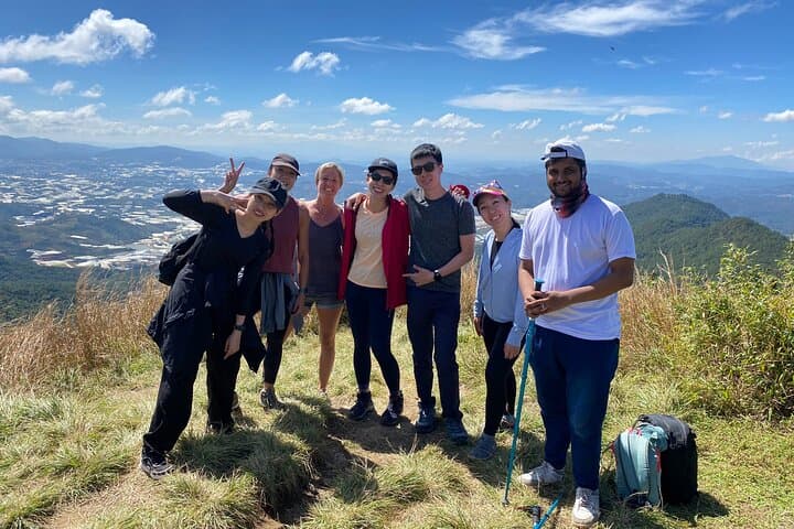
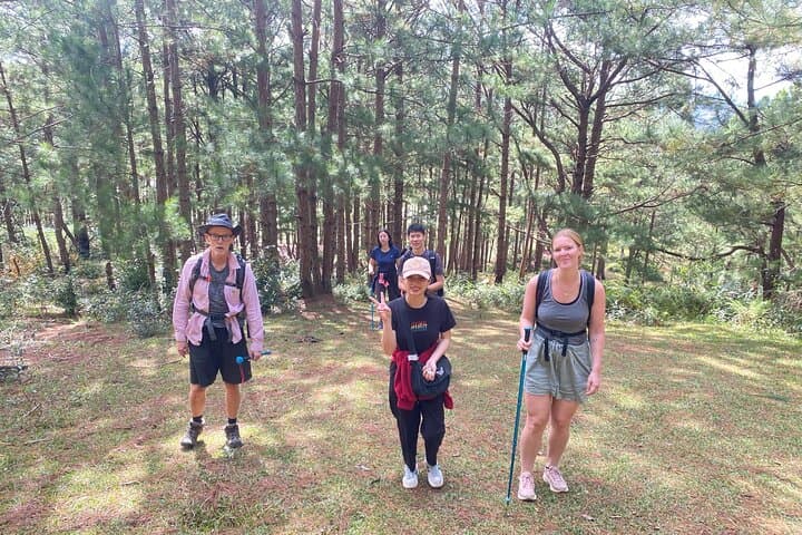
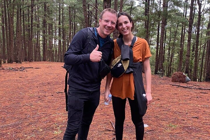
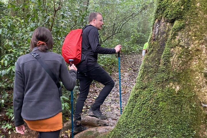
You step out of the van into thin, cool air and the pines of the central highlands seem to lean closer, as if testing whether you will climb. The trail rises steadily from terraces of coffee and vegetable plots into evergreen pines and broadleaf patches, each switchback opening a new angle on valley ridgelines and the glint of Golden Lake below.
You step out of the van into thin, cool air and the pines of the central highlands seem to lean closer, as if testing whether you will climb. The trail rises steadily from terraces of coffee and vegetable plots into evergreen pines and broadleaf patches, each switchback opening a new angle on valley ridgelines and the glint of Golden Lake below.
Lang Biang’s peaks are part of a volcanic plateau that shapes Da Lat’s cooler climate and fertile soils. The mountain carries cultural weight for the K’Ho and Lat ethnic communities—Lat Village at the trail’s end offers handmade textiles and a chance to meet artisans whose families have worked these slopes for generations. Geologically, the summit at about 2,167 meters caps older basalt flows; weather can shift fast, bringing mist that scours the ridge and cool winds that push you onward.
On the way expect mixed terrain: packed dirt, rocky pitches, and forested singletrack. Wildlife is subtle—birdsong, butterflies, occasional muntjac tracks—so move quietly to notice more. Your guide will point out medicinal plants, seasonal flowers, and the best viewpoints for photos.
Practical guide: this is a full-day, guided hike (roughly 14 km, 5–7 hours) with hotel transfers, bottled water and lunch included. Wear sturdy boots, layer for rapidly changing conditions, and bring a lightweight rain shell during the monsoon months. Start early to avoid afternoon storms, pace steady on the steeper sections, and remember to carry out all trash—these slopes are protected and best kept that way.