THE ADVENTURE COLLECTIVE® · Independent discovery and booking for outdoor travel

A flexible, self-guided audio driving loop that climbs from Moab’s desert to alpine lakes and sandstone towers. Download the narration, follow GPS prompts, and pick the stops you want—Fisher Towers, Warner Lake, Parriott Mesa and dinosaur tracks await.
A flexible, self-guided audio driving loop that climbs from Moab’s desert to alpine lakes and sandstone towers. Download the narration, follow GPS prompts, and pick the stops you want—Fisher Towers, Warner Lake, Parriott Mesa and dinosaur tracks await.
Roll down the window as the road peels away from redrock Moab and climbs toward the pale, snow-dusted shoulders of the La Sal Mountains. The air cools, aspen leaves whisper, and the plateau below unfolds—Porcupine Rim, Castle Valley, and the serrated silhouettes of Fisher Towers daring you to stop for a photo.
Verified experiences and guided adventures in the surrounding area.
Operated by Shaka Guide Apps · Moab, Utah
Roll down the window as the road peels away from redrock Moab and climbs toward the pale, snow-dusted shoulders of the La Sal Mountains. The air cools, aspen leaves whisper, and the plateau below unfolds—Porcupine Rim, Castle Valley, and the serrated silhouettes of Fisher Towers daring you to stop for a photo.
This drive follows a historic route between desert and alpine. The La Sal range is part of the Colorado Plateau’s uplift; marine and riverine sediments compressed and later sculpted into cliffs, mesas, and arches. Human history here spans Fremont pictographs to decades of Hollywood shoots—Red Cliffs Lodge’s film museum catalogs the region’s role as a movie backdrop.
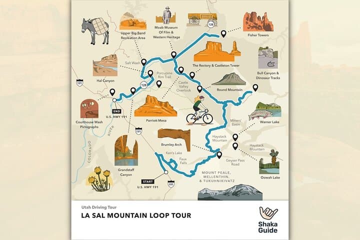
Expect a roughly 60-mile loop that climbs from Moab’s ~4,000 ft up into high country above 8,000 ft; short, optional hikes range from steep two-mile scrambles (Brumley Arch) to easy lakeside strolls (Warner and Oowah Lakes). Fisher Towers and Parriott Mesa present dramatic sandstone fins and climbing history; dinosaur track sites offer a 30–40 minute detour for families or curiosity-seekers.
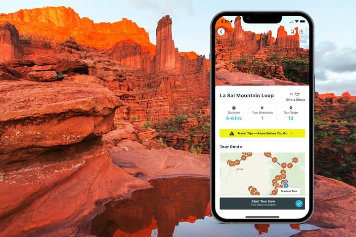
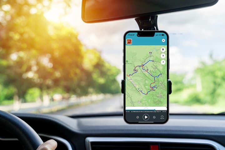
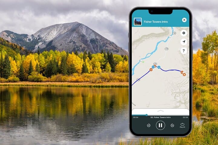
Practical guide: download the Shaka Guide tour on Wi‑Fi before you go—the app plays GPS-triggered narration offline and gives turn-by-turn directions for every stop. Fuel up in Moab, pack water and layers for temperature swings, and allow 4–6 hours with time to hike. Gravel spurs and short dirt roads appear—low-clearance cars can usually manage them, but check conditions after storms. Respect archaeological sites and pack out all trash; cell service is patchy in the loop. This is a drive that balances cinematic desert panoramas with alpine quiet—made better when you control the pace and press play on the stories between the views.
easy.
4–6 hours.
Suitable for most fitness levels; optional short hikes may be steep—expect brief scrambling on some trails.
No—redeem and download the tour in the Shaka Guide app on Wi‑Fi beforehand; the GPS-triggered narration and offline map work without data.
Allow 4–6 hours to drive the core loop and visit several stops; add more time if you plan to hike or picnic at multiple locations.
Some optional spurs and forest roads can be rough or muddy after storms; the main loop is paved but check local conditions in winter and after heavy rain.
Service animals are permitted; for other pets check specific trail rules and be prepared for hot surfaces and limited shade in summer.
The corridor has human occupation traces from Fremont peoples and later pioneer and film-era history; many filming locations around Moab shaped local tourism.
Stay on designated roads and trails to limit erosion; the high alpine lakes and sandstone formations are fragile—pack out all waste and avoid fossil or artifact disturbance.
Shaka Guide Apps operates guided outdoor trips and adventures with an emphasis on safety, stewardship, and memorable experiences.
Roll down the window as the road peels away from redrock Moab and climbs toward the pale, snow-dusted shoulders of the La Sal Mountains. The air cools, aspen leaves whisper, and the plateau below unfolds—Porcupine Rim, Castle Valley, and the serrated silhouettes of Fisher Towers daring you to stop for a photo.
Roll down the window as the road peels away from redrock Moab and climbs toward the pale, snow-dusted shoulders of the La Sal Mountains. The air cools, aspen leaves whisper, and the plateau below unfolds—Porcupine Rim, Castle Valley, and the serrated silhouettes of Fisher Towers daring you to stop for a photo.
This drive follows a historic route between desert and alpine. The La Sal range is part of the Colorado Plateau’s uplift; marine and riverine sediments compressed and later sculpted into cliffs, mesas, and arches. Human history here spans Fremont pictographs to decades of Hollywood shoots—Red Cliffs Lodge’s film museum catalogs the region’s role as a movie backdrop.
Expect a roughly 60-mile loop that climbs from Moab’s ~4,000 ft up into high country above 8,000 ft; short, optional hikes range from steep two-mile scrambles (Brumley Arch) to easy lakeside strolls (Warner and Oowah Lakes). Fisher Towers and Parriott Mesa present dramatic sandstone fins and climbing history; dinosaur track sites offer a 30–40 minute detour for families or curiosity-seekers.
Practical guide: download the Shaka Guide tour on Wi‑Fi before you go—the app plays GPS-triggered narration offline and gives turn-by-turn directions for every stop. Fuel up in Moab, pack water and layers for temperature swings, and allow 4–6 hours with time to hike. Gravel spurs and short dirt roads appear—low-clearance cars can usually manage them, but check conditions after storms. Respect archaeological sites and pack out all trash; cell service is patchy in the loop. This is a drive that balances cinematic desert panoramas with alpine quiet—made better when you control the pace and press play on the stories between the views.