THE ADVENTURE COLLECTIVE® · Independent discovery and booking for outdoor travel

A demanding day-hike from Kandy into the Knuckles Range, this 12 km route climbs to roughly 1,824 m through cloud forest and ridge views. Expect sustained climbs, changing weather, and a rewarding high-point for fit hikers.
A demanding day-hike from Kandy into the Knuckles Range, this 12 km route climbs to roughly 1,824 m through cloud forest and ridge views. Expect sustained climbs, changing weather, and a rewarding high-point for fit hikers.
Morning mist sits low in the valleys as a convoy of jeeps bumps away from Kandy and the road narrows toward Gomara. By 8:00 a.m. the trail pulls you into montane forest—roots and leaf litter underfoot, clouds pressing against the ridges, and a steady pull uphill that tests lungs and will.
Verified experiences and guided adventures in the surrounding area.
Operated by Nefelibata Travels · Kandy, Central Province
Morning mist sits low in the valleys as a convoy of jeeps bumps away from Kandy and the road narrows toward Gomara. By 8:00 a.m. the trail pulls you into montane forest—roots and leaf litter underfoot, clouds pressing against the ridges, and a steady pull uphill that tests lungs and will.
This route crosses part of the Knuckles Conservation Forest, a unit of Sri Lanka’s Central Highlands World Heritage Site (inscribed 2010). Geologically the range is an isolated outcrop of Precambrian rock carved into steep ridges and deep valleys; rainfall and elevation produce cloud forests and endemic flora. Local communities here practice upland farming and tea cultivation; guides often share stories of the hills’ role in local life and tea history.
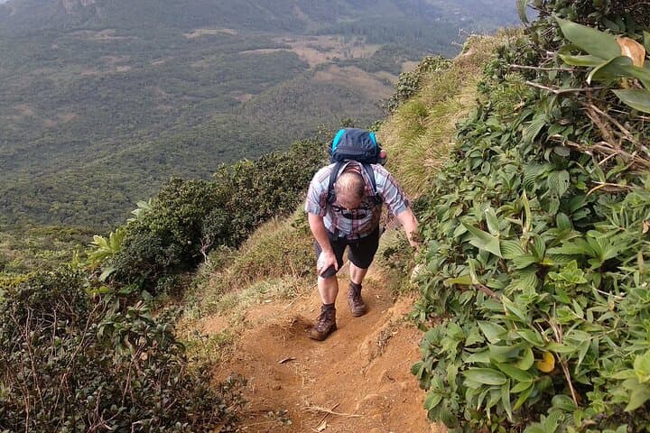
Expect 12 km of hiking (roughly 6 km up, 6 km down) with about 900–950 m net elevation gain to the high point near 1,824 m. Terrain is mostly singletrack and footpaths—packed soil, occasional rocky steps, and muddy sections after rain. The forest can feel alive: birds call, streams dare you to step closer, and winds push you along exposed ridgelines.
Practical guidance: start early, move steadily on the ascent, and allow time for changing weather—afternoons cloud over frequently. Carry at least 1–1.5 liters beyond provided water, dress in layers, and bring a wind- and rainproof shell. The operator provides pickup in Kandy, a packed lunch, first aid, and a backup vehicle; the day typically runs 5–6 hours of walking within a 10–11 hour tour window. This is a demanding, rewarding day for fit hikers ready to trade city views for cloud-drenched peaks.
challenging.
5–6 hours (hiking); tour window ~10–11 hours.
High aerobic fitness recommended—comfortable with sustained uphill hiking and brief downhill strain on knees
This is rated hard/challenging—beginners with limited fitness should train for sustained uphill walking and consult the operator; guides can set a slower pace but the elevation gain is significant.
Pickup and drop-off in Kandy, jeep transfer to the trailhead, lunch, refreshments and energy bars, a 1000 ml water bottle, support staff, qualified first aid officer and a backup vehicle are included.
Dry-season months (roughly December–March) offer more stable weather and clearer views, though mornings can still be wet; monsoon periods increase mud and route difficulty.
The hike tops out near 1,824 m—most trekkers do not experience severe altitude sickness, but take it slow, stay hydrated, and notify staff if you feel unwell.
Knuckles is part of the Central Highlands World Heritage Site and has long been a resource for nearby villages and tea growers; its isolation preserved distinct ecosystems.
This area contains fragile montane cloud forest—stick to trails, pack out waste, and avoid disturbing wildlife to help protect endemic species.
Nefelibata Travels operates guided outdoor trips and adventures with an emphasis on safety, stewardship, and memorable experiences.
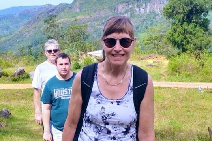
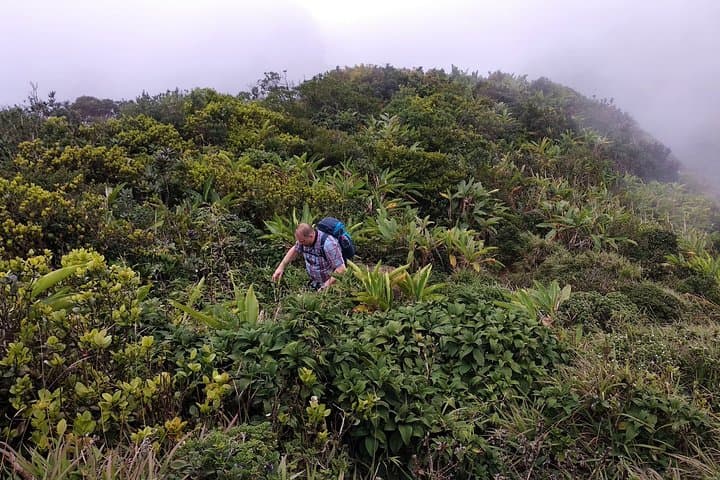
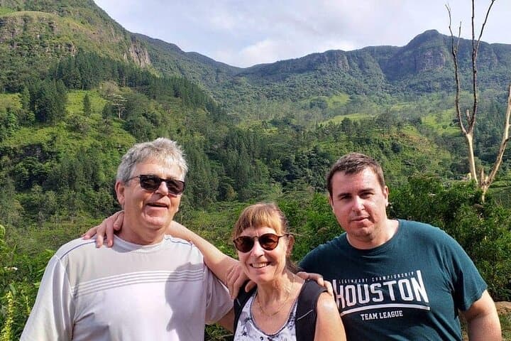
Morning mist sits low in the valleys as a convoy of jeeps bumps away from Kandy and the road narrows toward Gomara. By 8:00 a.m. the trail pulls you into montane forest—roots and leaf litter underfoot, clouds pressing against the ridges, and a steady pull uphill that tests lungs and will.
Morning mist sits low in the valleys as a convoy of jeeps bumps away from Kandy and the road narrows toward Gomara. By 8:00 a.m. the trail pulls you into montane forest—roots and leaf litter underfoot, clouds pressing against the ridges, and a steady pull uphill that tests lungs and will.
This route crosses part of the Knuckles Conservation Forest, a unit of Sri Lanka’s Central Highlands World Heritage Site (inscribed 2010). Geologically the range is an isolated outcrop of Precambrian rock carved into steep ridges and deep valleys; rainfall and elevation produce cloud forests and endemic flora. Local communities here practice upland farming and tea cultivation; guides often share stories of the hills’ role in local life and tea history.
Expect 12 km of hiking (roughly 6 km up, 6 km down) with about 900–950 m net elevation gain to the high point near 1,824 m. Terrain is mostly singletrack and footpaths—packed soil, occasional rocky steps, and muddy sections after rain. The forest can feel alive: birds call, streams dare you to step closer, and winds push you along exposed ridgelines.
Practical guidance: start early, move steadily on the ascent, and allow time for changing weather—afternoons cloud over frequently. Carry at least 1–1.5 liters beyond provided water, dress in layers, and bring a wind- and rainproof shell. The operator provides pickup in Kandy, a packed lunch, first aid, and a backup vehicle; the day typically runs 5–6 hours of walking within a 10–11 hour tour window. This is a demanding, rewarding day for fit hikers ready to trade city views for cloud-drenched peaks.