THE ADVENTURE COLLECTIVE® · Independent discovery and booking for outdoor travel

Spend a single day crossing the High Atlas from Marrakech to Imlil’s waterfall trails, visiting Berber villages and finishing with a camel ride in the rocky Agafay Desert. This compact trip blends a moderate mountain hike with cultural stops and a dramatic desert sunset.
Spend a single day crossing the High Atlas from Marrakech to Imlil’s waterfall trails, visiting Berber villages and finishing with a camel ride in the rocky Agafay Desert. This compact trip blends a moderate mountain hike with cultural stops and a dramatic desert sunset.
The day begins before the city heat, leaving Marrakech behind as the road climbs toward the High Atlas. By midmorning the air sharpens; apple orchards and terraced fields give way to stony slopes and the narrow tracks that thread between Berber villages. In Imlil the guide leads a steady, 4 km round-trip hike to a nearby waterfall — a route that moves through shaded mule paths, small farms and stone houses, gaining roughly 250–350 m in elevation. Water sings down rock and the valley presses close, as if watching the party pass.
Verified experiences and guided adventures in the surrounding area.
Operated by Plan to Morocco · Imlil, Marrakech-Safi
The day begins before the city heat, leaving Marrakech behind as the road climbs toward the High Atlas. By midmorning the air sharpens; apple orchards and terraced fields give way to stony slopes and the narrow tracks that thread between Berber villages. In Imlil the guide leads a steady, 4 km round-trip hike to a nearby waterfall — a route that moves through shaded mule paths, small farms and stone houses, gaining roughly 250–350 m in elevation. Water sings down rock and the valley presses close, as if watching the party pass.
History here is plain in the stonework and daily rhythms: Imlil grew as a mountain crossroads for Amazigh communities and trekkers bound for Toubkal. Geologically the High Atlas is young, folded rock pushed up by African-Eurasian plate forces, producing steep drainage and scenic waterfalls. Cultural stops include a women-run argan cooperative where oil is pressed by hand and villages where tea is offered with straightforward hospitality.
Afternoon steps back into contrast — a drive across red earth to the Agafay “stone” desert, where a 30-minute camel ride under an open sky provides a slow-motion sunset. Expect dry, wind-swept terrain and broad views rather than sand dunes.
Practical guidance: plan for 6–8 hours total, bring 2–3 liters of water, sun protection and layered clothing for afternoon temperature swings. Wear grippy hiking shoes for uneven trails and modest clothing for village visits. The route suits hikers of moderate fitness and rewards with cultural contact, varied terrain and a memorable desert finish.
moderate.
6–8 hours.
Suitable for travelers with moderate fitness — steady walking on uneven paths and short climbs.
The drive typically takes 60–90 minutes depending on traffic and the route; roads wind through the foothills so allow extra time.
Yes — the 30-minute camel ride is gentle and appropriate for most children, but check weight limits and supervision policies with the operator.
The itinerary usually includes a traditional lunch in Imlil; small purchases at cooperatives or optional extras are paid locally — confirm specific inclusions when booking.
Inform the operator in advance via booking questions; the hike requires moderate mobility and the activity is not recommended for travelers with serious back or heart conditions.
Imlil’s villages are part of Amazigh (Berber) communities that have long managed terrace agriculture and mountain trade routes; argan oil production nearby is an important local economy.
Stick to established paths to avoid erosion in fragile mountain soils; support women-run cooperatives and local guides to keep tourism benefits in the community.
Plan to Morocco operates guided outdoor trips and adventures with an emphasis on safety, stewardship, and memorable experiences.
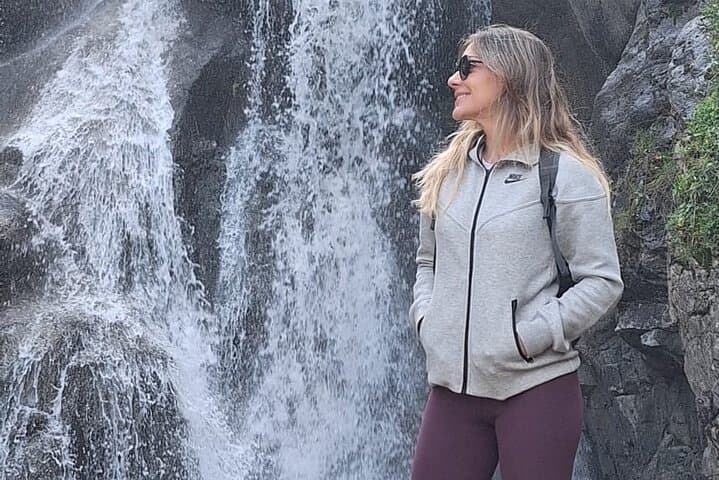
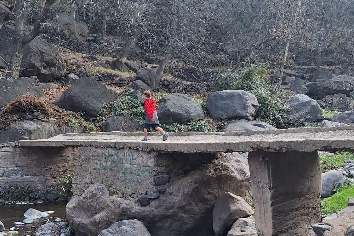
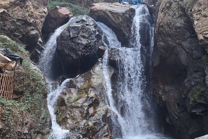
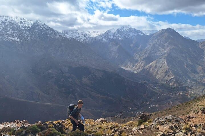
The day begins before the city heat, leaving Marrakech behind as the road climbs toward the High Atlas. By midmorning the air sharpens; apple orchards and terraced fields give way to stony slopes and the narrow tracks that thread between Berber villages. In Imlil the guide leads a steady, 4 km round-trip hike to a nearby waterfall — a route that moves through shaded mule paths, small farms and stone houses, gaining roughly 250–350 m in elevation. Water sings down rock and the valley presses close, as if watching the party pass.
The day begins before the city heat, leaving Marrakech behind as the road climbs toward the High Atlas. By midmorning the air sharpens; apple orchards and terraced fields give way to stony slopes and the narrow tracks that thread between Berber villages. In Imlil the guide leads a steady, 4 km round-trip hike to a nearby waterfall — a route that moves through shaded mule paths, small farms and stone houses, gaining roughly 250–350 m in elevation. Water sings down rock and the valley presses close, as if watching the party pass.
History here is plain in the stonework and daily rhythms: Imlil grew as a mountain crossroads for Amazigh communities and trekkers bound for Toubkal. Geologically the High Atlas is young, folded rock pushed up by African-Eurasian plate forces, producing steep drainage and scenic waterfalls. Cultural stops include a women-run argan cooperative where oil is pressed by hand and villages where tea is offered with straightforward hospitality.
Afternoon steps back into contrast — a drive across red earth to the Agafay “stone” desert, where a 30-minute camel ride under an open sky provides a slow-motion sunset. Expect dry, wind-swept terrain and broad views rather than sand dunes.
Practical guidance: plan for 6–8 hours total, bring 2–3 liters of water, sun protection and layered clothing for afternoon temperature swings. Wear grippy hiking shoes for uneven trails and modest clothing for village visits. The route suits hikers of moderate fitness and rewards with cultural contact, varied terrain and a memorable desert finish.