THE ADVENTURE COLLECTIVE® · Independent discovery and booking for outdoor travel

Spend a full day exploring the foothills of Mount Toubkal from Marrakech: mule tracks, Berber villages, and rugged ridgelines make for an accessible mountain day. Expect 6–10 km of walking, optional mule rides, and clear views of North Africa’s highest peaks.
Spend a full day exploring the foothills of Mount Toubkal from Marrakech: mule tracks, Berber villages, and rugged ridgelines make for an accessible mountain day. Expect 6–10 km of walking, optional mule rides, and clear views of North Africa’s highest peaks.
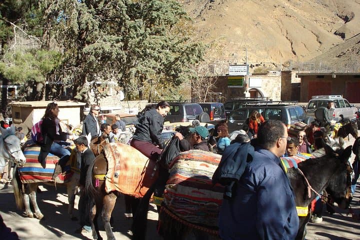
By midmorning the minivan eases out of Marrakech and the city’s heat gives way to the sharpening air of the High Atlas. Roads narrow, adobe houses thin, and the valley opens: Imlil sits at the end of the tarmac, a compact village where mule caravans and hiking groups gather.
Verified experiences and guided adventures in the surrounding area.
Operated by Traces Berbres Voyages · Imlil, Marrakesh-Safi
By midmorning the minivan eases out of Marrakech and the city’s heat gives way to the sharpening air of the High Atlas. Roads narrow, adobe houses thin, and the valley opens: Imlil sits at the end of the tarmac, a compact village where mule caravans and hiking groups gather.
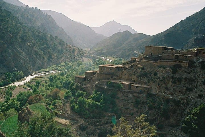
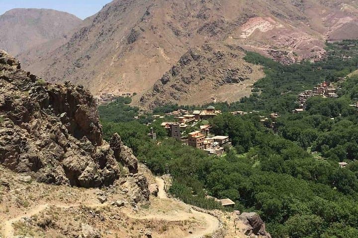
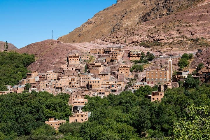
The landscape here is young in geological terms — folds and thrusts from the African-Eurasian collision lifted schist and limestone into jagged ridgelines. For centuries local Amazigh (Berber) communities have farmed terraces and guided travelers; muleteers still ferry loads where vehicles cannot. Cultural traces are visible in stone guesthouses, terraces of barley and walnut trees, and the callused hands that tend the trails.
On this full-day outing expect 6–10 km of walking on stony mule tracks and village lanes with intermittent steep pitches and roughly 400–600 m of cumulative elevation change, depending on your route. The itinerary typically mixes guided footwork with optional mule riding, stopping in a village for tea and views of Toubkal (4,167 m) on the skyline.
Practicalities: wear sturdy boots, pack layered clothing for wind and sun, and carry at least 1.5–2 liters of water. Altitude is mild at village levels but can affect breathing on steeper sections; pace yourself. Photography is rewarding in sidelong light; hiring a local guide supports the economy and keeps group navigation smooth. Whether you hike the valley or ride a mule along the tracks, the day delivers accessible mountain terrain, living culture, and immediate views of North Africa’s highest massif.
moderate.
8 hours.
Moderately fit — able to handle sustained walking with some steep climbs and uneven terrain.
Driving to Imlil typically takes about 1–1.5 hours each way depending on traffic and road conditions.
Mule rides are generally offered as an optional part of the day; confirm inclusion at booking and follow guide instructions when mounted.
Families can participate, but children should be closely supervised; the route is manageable for those with moderate fitness and no technical climbing required.
Tipping is customary and appreciated—consider a small tip for guides and mule handlers if service is good.
The Imlil valley has long been a staging point for ascents of Toubkal and a crossroads for Amazigh pastoralists; the area’s villages retain vernacular stone architecture and terrace agriculture.
Stick to marked trails and avoid leaving waste; local communities rely on sustainable tourism and overuse can strain water and grazing resources.
Traces Berbres Voyages operates guided outdoor trips and adventures with an emphasis on safety, stewardship, and memorable experiences.
By midmorning the minivan eases out of Marrakech and the city’s heat gives way to the sharpening air of the High Atlas. Roads narrow, adobe houses thin, and the valley opens: Imlil sits at the end of the tarmac, a compact village where mule caravans and hiking groups gather.
By midmorning the minivan eases out of Marrakech and the city’s heat gives way to the sharpening air of the High Atlas. Roads narrow, adobe houses thin, and the valley opens: Imlil sits at the end of the tarmac, a compact village where mule caravans and hiking groups gather.
The landscape here is young in geological terms — folds and thrusts from the African-Eurasian collision lifted schist and limestone into jagged ridgelines. For centuries local Amazigh (Berber) communities have farmed terraces and guided travelers; muleteers still ferry loads where vehicles cannot. Cultural traces are visible in stone guesthouses, terraces of barley and walnut trees, and the callused hands that tend the trails.
On this full-day outing expect 6–10 km of walking on stony mule tracks and village lanes with intermittent steep pitches and roughly 400–600 m of cumulative elevation change, depending on your route. The itinerary typically mixes guided footwork with optional mule riding, stopping in a village for tea and views of Toubkal (4,167 m) on the skyline.
Practicalities: wear sturdy boots, pack layered clothing for wind and sun, and carry at least 1.5–2 liters of water. Altitude is mild at village levels but can affect breathing on steeper sections; pace yourself. Photography is rewarding in sidelong light; hiring a local guide supports the economy and keeps group navigation smooth. Whether you hike the valley or ride a mule along the tracks, the day delivers accessible mountain terrain, living culture, and immediate views of North Africa’s highest massif.