THE ADVENTURE COLLECTIVE® · Independent discovery and booking for outdoor travel

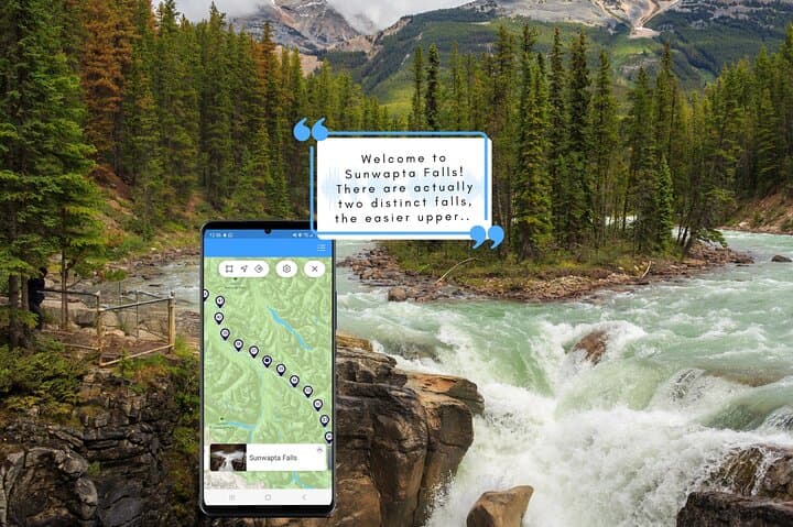
Drive one of the world’s most scenic highways while a smartphone narrator points out glaciers, waterfalls and key history. This self-guided audio tour between Lake Louise and Jasper lets you stop on your own schedule and learn as you go.
Drive one of the world’s most scenic highways while a smartphone narrator points out glaciers, waterfalls and key history. This self-guided audio tour between Lake Louise and Jasper lets you stop on your own schedule and learn as you go.
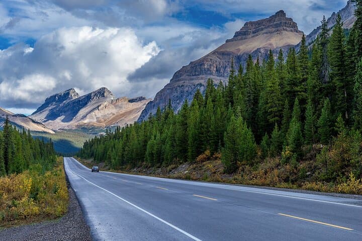
A low sun slices the peaks as you turn onto Highway 93: pavement, glaciers and an open sky. The Icefields Parkway unfurls like a natural exhibit — turquoise lakes, serrated limestone summits and the slow, blue edge of the Columbia Icefield looming above the road. Plug your phone into the car, start the Tripvia app and the landscape begins to speak.
Verified experiences and guided adventures in the surrounding area.
Operated by Tripvia Tours · Lake Louise, Alberta
A low sun slices the peaks as you turn onto Highway 93: pavement, glaciers and an open sky. The Icefields Parkway unfurls like a natural exhibit — turquoise lakes, serrated limestone summits and the slow, blue edge of the Columbia Icefield looming above the road. Plug your phone into the car, start the Tripvia app and the landscape begins to speak.
The route follows trails carved by ice and river, a corridor once mapped by the Palliser Expedition and later shaped by railway and park planners. Geology here is raw: Pleistocene glaciers ground valleys into U-shapes and left moraines that dam lakes such as Peyto and Bow. The road threads Banff, Yoho and Jasper National Parks, where Indigenous peoples have long histories tied to the Bow and Athabasca watersheds.
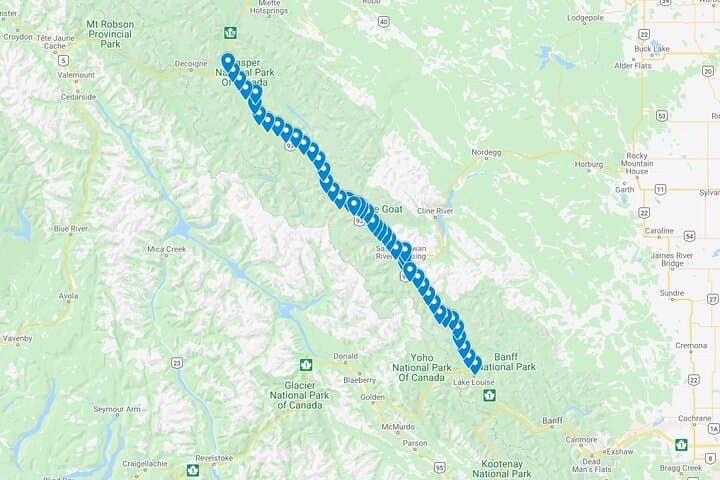
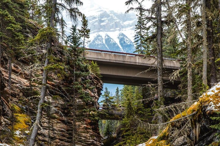
Expect frequent pulloffs and interpretive commentary keyed to GPS — 45 points of interest from waterfalls and viewpoints to short trailheads where you can stretch legs at Mistaya Canyon or wander to a Peyto overlook.
Practical edge: download the tour over Wi‑Fi and charge a power bank — cell service is sparse. Buy a Parks Canada pass before entering, obey wildlife closures and keep a respectful distance from elk, bears and bighorn sheep. Time your drive early or late to avoid peak summer traffic and to catch warmer light on glaciers. The app removes the pressure of a guided timetable: you control stops, pace and photography. For travelers who want context with freedom, this self‑guided audio drive pairs narrative depth with the incomparable pace of a mountain road.
easy.
3–8 hours.
Minimal fitness required for driving; short walks to overlooks are generally easy but can include stairs or rocky footing
No — the Tripvia tour must be downloaded first over Wi‑Fi or data, but once downloaded the GPS audio plays without using mobile data.
Non‑stop driving takes about 3 hours, but most people budget 4–8 hours to stop at viewpoints, short walks and photo breaks.
Yes — the commentary is designed to work starting in Lake Louise or Jasper; the app syncs to your direction of travel.
Many major overlooks like Peyto Lake and some falls have accessible viewpoints, but check specific site notes as surfaces vary.
The corridor was mapped by 19th‑century surveys such as the Palliser Expedition and later developed to link Banff and Jasper; Indigenous peoples have long-standing ties to these valleys.
This route winds through national parks — carry out waste, stay on designated trails and obey seasonal closures to minimize impacts on fragile alpine ecosystems.
Tripvia Tours operates guided outdoor trips and adventures with an emphasis on safety, stewardship, and memorable experiences.
A low sun slices the peaks as you turn onto Highway 93: pavement, glaciers and an open sky. The Icefields Parkway unfurls like a natural exhibit — turquoise lakes, serrated limestone summits and the slow, blue edge of the Columbia Icefield looming above the road. Plug your phone into the car, start the Tripvia app and the landscape begins to speak.
A low sun slices the peaks as you turn onto Highway 93: pavement, glaciers and an open sky. The Icefields Parkway unfurls like a natural exhibit — turquoise lakes, serrated limestone summits and the slow, blue edge of the Columbia Icefield looming above the road. Plug your phone into the car, start the Tripvia app and the landscape begins to speak.
The route follows trails carved by ice and river, a corridor once mapped by the Palliser Expedition and later shaped by railway and park planners. Geology here is raw: Pleistocene glaciers ground valleys into U-shapes and left moraines that dam lakes such as Peyto and Bow. The road threads Banff, Yoho and Jasper National Parks, where Indigenous peoples have long histories tied to the Bow and Athabasca watersheds.
Expect frequent pulloffs and interpretive commentary keyed to GPS — 45 points of interest from waterfalls and viewpoints to short trailheads where you can stretch legs at Mistaya Canyon or wander to a Peyto overlook.
Practical edge: download the tour over Wi‑Fi and charge a power bank — cell service is sparse. Buy a Parks Canada pass before entering, obey wildlife closures and keep a respectful distance from elk, bears and bighorn sheep. Time your drive early or late to avoid peak summer traffic and to catch warmer light on glaciers. The app removes the pressure of a guided timetable: you control stops, pace and photography. For travelers who want context with freedom, this self‑guided audio drive pairs narrative depth with the incomparable pace of a mountain road.