THE ADVENTURE COLLECTIVE® · Independent discovery and booking for outdoor travel

See Hobart from a new angle on a 30-minute small-plane scenic flight that sweeps over Kunanyi / Mt Wellington, the Derwent River and MONA. Ideal for photographers and first-time flyers, this short tour offers concentrated views and pilot commentary.
See Hobart from a new angle on a 30-minute small-plane scenic flight that sweeps over Kunanyi / Mt Wellington, the Derwent River and MONA. Ideal for photographers and first-time flyers, this short tour offers concentrated views and pilot commentary.
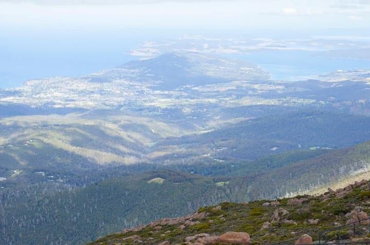
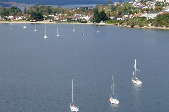
The plane lifts and Hobart unspools beneath you — a ribbon of Derwent River cutting through brick and gum, the dome of MONA glinting like a modern relic, and Kunanyi / Mt Wellington rising cold and solid on the skyline. In a compact 30-minute scenic hop you get the city's best angles: the river’s tidal curves, the patchwork of northern suburbs, and the serrated dolerite crown of the mountain pushing the clouds aside.
Verified experiences and guided adventures in the surrounding area.
Operated by Par Avion · Hobart, Tasmania
The plane lifts and Hobart unspools beneath you — a ribbon of Derwent River cutting through brick and gum, the dome of MONA glinting like a modern relic, and Kunanyi / Mt Wellington rising cold and solid on the skyline. In a compact 30-minute scenic hop you get the city's best angles: the river’s tidal curves, the patchwork of northern suburbs, and the serrated dolerite crown of the mountain pushing the clouds aside.
Hobart’s geography is straightforward and dramatic: a deep estuary carved by glaciation and tidal forces, flanked by dolerite outcrops that form Kunanyi’s cliffs. The area carries layers of history — Palawa people’s connection to the land, early colonial port development, and recent cultural shifts anchored by MONA’s waterfront presence. From the air those stories read as shapes: convict-era docks, green ravines, and the iron-red roofs of suburbia.
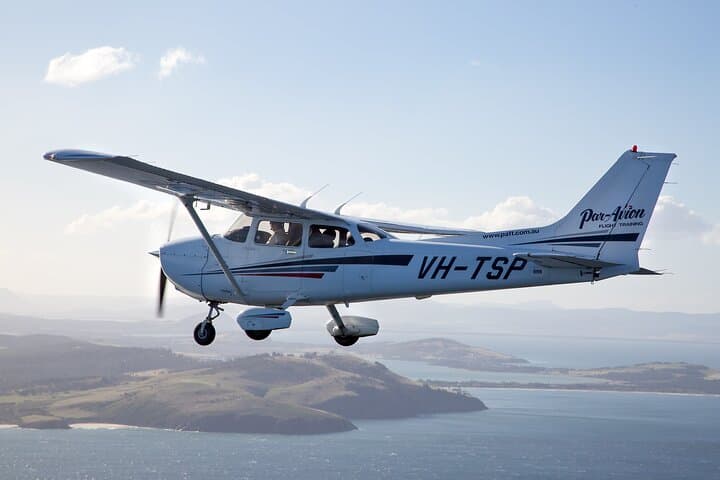
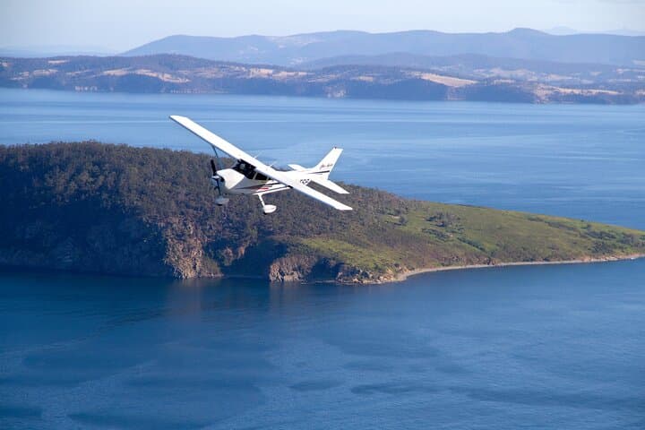
Practically, this is a small-plane experience limited to under ten passengers with live commentary from the pilot-guide. Expect quick check-in, a safety briefing, and a seating plan that rotates window access when possible. Weather governs the show — low clouds or strong winds may cancel. Bring a windproof layer, a good camera with a fast shutter, and soft-soled shoes for boarding. If you’re prone to motion sickness, choose a seat near the wings and take preventative measures.
For photographers and first-time flyers alike, the flight is an efficient way to contextualize Hobart’s terrain and culture: dramatic geology, active river life, and a human-scaled city that looks both compact and vast from the air.
easy.
30 minutes.
Suitable for all fitness levels; mobility to board a small aircraft required
The experience is a fixed 30-minute scenic flight from takeoff to landing, with pre-flight briefing at the departure point.
Yes — the operator collects passenger weights for load and balance; you must provide accurate information when booking.
Flights can be canceled or rescheduled for safety if winds, low cloud, or visibility compromise the route; operators typically offer refunds if canceled 24+ hours in advance.
Yes — it’s suitable for most ages but children must be accompanied by an adult and the operator will advise if motion sickness measures are recommended.
Hobart grew as a deep-water port during the early colonial era; Kunanyi has long been significant to the Palawa people and remains central to local identity.
Operators follow aviation noise and safety rules; choose companies that limit low passes over sensitive wildlife areas and maintain clear cancellation policies for poor weather to reduce environmental risk.
Par Avion operates guided outdoor trips and adventures with an emphasis on safety, stewardship, and memorable experiences.
The plane lifts and Hobart unspools beneath you — a ribbon of Derwent River cutting through brick and gum, the dome of MONA glinting like a modern relic, and Kunanyi / Mt Wellington rising cold and solid on the skyline. In a compact 30-minute scenic hop you get the city's best angles: the river’s tidal curves, the patchwork of northern suburbs, and the serrated dolerite crown of the mountain pushing the clouds aside.
The plane lifts and Hobart unspools beneath you — a ribbon of Derwent River cutting through brick and gum, the dome of MONA glinting like a modern relic, and Kunanyi / Mt Wellington rising cold and solid on the skyline. In a compact 30-minute scenic hop you get the city's best angles: the river’s tidal curves, the patchwork of northern suburbs, and the serrated dolerite crown of the mountain pushing the clouds aside.
Hobart’s geography is straightforward and dramatic: a deep estuary carved by glaciation and tidal forces, flanked by dolerite outcrops that form Kunanyi’s cliffs. The area carries layers of history — Palawa people’s connection to the land, early colonial port development, and recent cultural shifts anchored by MONA’s waterfront presence. From the air those stories read as shapes: convict-era docks, green ravines, and the iron-red roofs of suburbia.
Practically, this is a small-plane experience limited to under ten passengers with live commentary from the pilot-guide. Expect quick check-in, a safety briefing, and a seating plan that rotates window access when possible. Weather governs the show — low clouds or strong winds may cancel. Bring a windproof layer, a good camera with a fast shutter, and soft-soled shoes for boarding. If you’re prone to motion sickness, choose a seat near the wings and take preventative measures.
For photographers and first-time flyers alike, the flight is an efficient way to contextualize Hobart’s terrain and culture: dramatic geology, active river life, and a human-scaled city that looks both compact and vast from the air.