THE ADVENTURE COLLECTIVE® · Independent discovery and booking for outdoor travel

Follow the ridge of Vrmac for sweeping Kotor Bay views, an abandoned Austro-Hungarian fort and options from a gentle 3-hour loop to a full-day ridge traverse. This practical guide covers what to expect, route choices and packing tips.
Follow the ridge of Vrmac for sweeping Kotor Bay views, an abandoned Austro-Hungarian fort and options from a gentle 3-hour loop to a full-day ridge traverse. This practical guide covers what to expect, route choices and packing tips.
You step off the coastal road and the sound of the bay fades; the forest on Vrmac takes over, cool and resin-scented. The ridge rises in a series of switchbacks and shady plateaus, opening at intervals to the wide, glinting arc of Kotor Bay and the compact town of Tivat across the water. The route moves between chestnut and oak groves, then onto open limestone slopes where wind exposes the abandoned Austro-Hungarian fort crouched above the sea.
Verified experiences and guided adventures in the surrounding area.
Operated by Attraction Montenegro Tour · Kotor, Kotor Municipality
You step off the coastal road and the sound of the bay fades; the forest on Vrmac takes over, cool and resin-scented. The ridge rises in a series of switchbacks and shady plateaus, opening at intervals to the wide, glinting arc of Kotor Bay and the compact town of Tivat across the water. The route moves between chestnut and oak groves, then onto open limestone slopes where wind exposes the abandoned Austro-Hungarian fort crouched above the sea.
Geology here is coastal Dinaric limestone—karst outcrops, thin soils and sudden scrub. The fort on Vrmac dates to the late 19th century and was part of Austro-Hungarian defenses watching the bay; its stonework is a practical reminder of the region’s strategic past. Culturally, trails link small villages and pastoral terraces, and shepherding traces remain in cairns and old stone walls.
Practical route options range from a short 9 km, ~250 m gain loop that takes about 3 hours, to a full 15–20 km ridge traverse with up to 760 m elevation reaching Saint Ilija (the high plateau) and taking 5–6 hours. Expect mixed terrain: packed dirt, rocky steps and occasional loose scree near the ridge. Markings are intermittent—bring a map or GPS and allow daylight buffer for descent.
Hydrate well, wear sturdy boots for rocky sections and layer for wind on the summit. A guided tour supplies water, snacks and transport; solo hikers should plan shuttle logistics. The payoff is uncompromised bay views, a weathered fortress and the steady, satisfying rhythm of a ridge hike that feels both coastal and alpine.
moderate.
3–6 hours.
Moderate fitness required—comfortable with steady climbs, some steep sections and uneven terrain.
Options range from a 9 km loop with ~250 m elevation (about 3 hours) to a full 15–20 km traverse up to 760 m elevation that can take 5–6 hours.
Trail markings are intermittent—many sections are clear but carry a map, GPX or use a guided service to avoid navigation errors.
Yes, beginners can join the shorter 3-hour circuit; the full ridge requires good endurance and comfort on rocky terrain.
No services on the ridge itself; small cafés exist near trailheads in Kotor/Tivat but bring food, water and sun protection for the hike.
Vrmac’s fortifications were built by the Austro-Hungarian Navy in the late 19th century to control naval access to the bay; the ridge has long separated Kotor and Tivat.
Stay on marked paths to protect thin karst soils and endemic plants; avoid fires and pack out all trash—this coastal limestone habitat is sensitive to erosion.
Attraction Montenegro Tour operates guided outdoor trips and adventures with an emphasis on safety, stewardship, and memorable experiences.
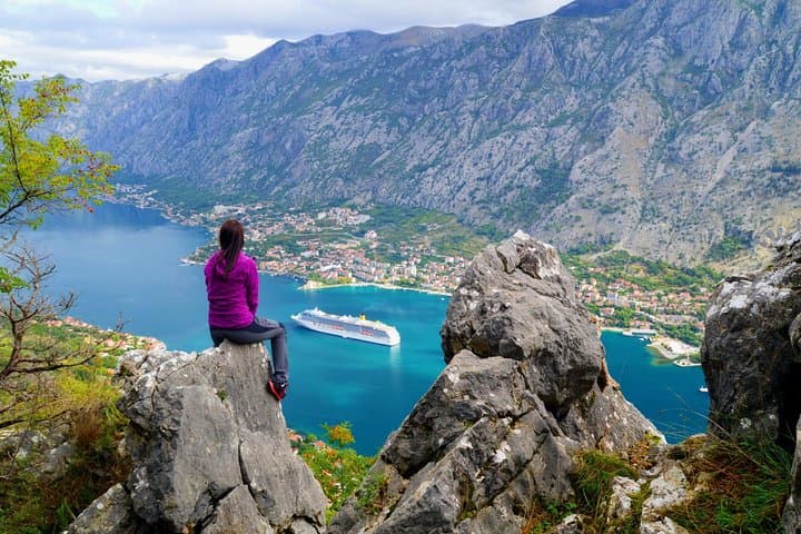
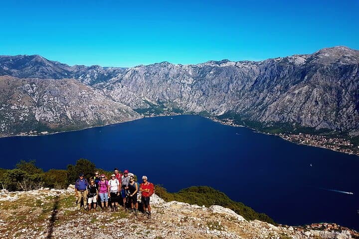
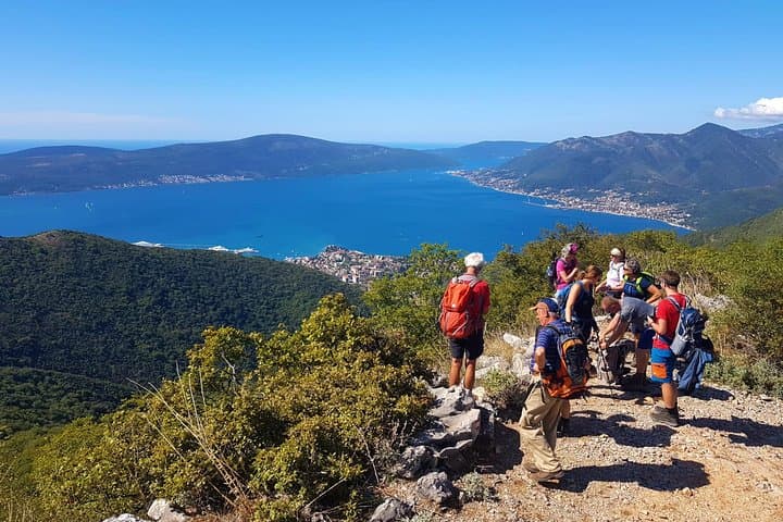
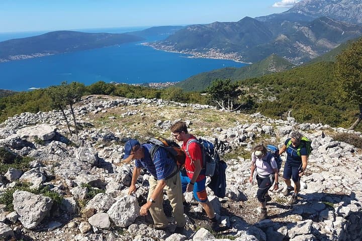
You step off the coastal road and the sound of the bay fades; the forest on Vrmac takes over, cool and resin-scented. The ridge rises in a series of switchbacks and shady plateaus, opening at intervals to the wide, glinting arc of Kotor Bay and the compact town of Tivat across the water. The route moves between chestnut and oak groves, then onto open limestone slopes where wind exposes the abandoned Austro-Hungarian fort crouched above the sea.
You step off the coastal road and the sound of the bay fades; the forest on Vrmac takes over, cool and resin-scented. The ridge rises in a series of switchbacks and shady plateaus, opening at intervals to the wide, glinting arc of Kotor Bay and the compact town of Tivat across the water. The route moves between chestnut and oak groves, then onto open limestone slopes where wind exposes the abandoned Austro-Hungarian fort crouched above the sea.
Geology here is coastal Dinaric limestone—karst outcrops, thin soils and sudden scrub. The fort on Vrmac dates to the late 19th century and was part of Austro-Hungarian defenses watching the bay; its stonework is a practical reminder of the region’s strategic past. Culturally, trails link small villages and pastoral terraces, and shepherding traces remain in cairns and old stone walls.
Practical route options range from a short 9 km, ~250 m gain loop that takes about 3 hours, to a full 15–20 km ridge traverse with up to 760 m elevation reaching Saint Ilija (the high plateau) and taking 5–6 hours. Expect mixed terrain: packed dirt, rocky steps and occasional loose scree near the ridge. Markings are intermittent—bring a map or GPS and allow daylight buffer for descent.
Hydrate well, wear sturdy boots for rocky sections and layer for wind on the summit. A guided tour supplies water, snacks and transport; solo hikers should plan shuttle logistics. The payoff is uncompromised bay views, a weathered fortress and the steady, satisfying rhythm of a ridge hike that feels both coastal and alpine.