THE ADVENTURE COLLECTIVE® · Independent discovery and booking for outdoor travel

Trace the red-stained ridges of Luxembourg’s Terres Rouges on a 3–4 hour hike from Fond-de-Gras. Explore old mining terraces, geological outcrops, and quiet woodland while learning how iron ore shaped the region’s landscape and communities.
Trace the red-stained ridges of Luxembourg’s Terres Rouges on a 3–4 hour hike from Fond-de-Gras. Explore old mining terraces, geological outcrops, and quiet woodland while learning how iron ore shaped the region’s landscape and communities.
A walk begins where the ground itself changes color. Underfoot the soil shifts from grey to deep ochre — iron-rich earth that once fed Luxembourg’s steel furnaces. Start at Fond-de-Gras, where rusted tracks and stone ruins frame a wide sky; the trail threads through old mining terraces and pockets of mixed beech and pine, each slope revealing bands of red soil that gave this area its name.
Verified experiences and guided adventures in the surrounding area.
Operated by Cláudia Almeida · Fond-de-Gras, Esch-sur-Alzette
A walk begins where the ground itself changes color. Underfoot the soil shifts from grey to deep ochre — iron-rich earth that once fed Luxembourg’s steel furnaces. Start at Fond-de-Gras, where rusted tracks and stone ruins frame a wide sky; the trail threads through old mining terraces and pockets of mixed beech and pine, each slope revealing bands of red soil that gave this area its name.
This landscape is industrial geology made visible: Permian iron-ore deposits and later 19th–20th century mining infrastructure shaped valleys and ridgelines. The Prézebierg Nature Reserve preserves fragments of that history alongside regenerating woodland and grassland mosaics. Local culture here is quiet and practical — mining towns like Rumelange left a working-class architecture and small museums that interpret the region’s industrial past.
Expect a moderate 3–4 hour route on varied terrain: compact dirt tracks, short steeps, and occasional stone stair sections. Typical distances are in the mid-single digits (6–10 km) with undulating elevation and isolated viewpoints over former quarries. The organization often supplies a light picnic; public transport access at start/finish makes this an easy day trip from Esch-sur-Alzette or Luxembourg City.
Practical notes: wear sturdy hiking shoes, bring water and layers — weather can swing quickly — and allow time to pause at interpretive signs and old tram sheds. Leave no trace on sensitive geological exposures and stick to marked paths to protect regeneration zones. This hike pairs tangible history with simple, direct outdoor terrain — ideal for hikers who like their views served with context.
moderate.
3–4 hours.
Suitable for hikers with regular activity; expect short climbs and sustained walking over uneven ground.
The guided route typically lasts 3–4 hours and is rated moderate — uneven terrain and short climbs, but no technical scrambling.
Yes — Fond-de-Gras and nearby stops are reachable by regional buses; the meeting point is next to the local bus stop.
Service animals are allowed; check with the operator before bringing pets as trail conditions and wildlife may make it unsuitable.
Active children accustomed to walking several kilometers can manage it, but note there are exposed sections and uneven ground.
Terres Rouges takes its name from iron-ore deposits that powered Luxembourg’s steel industry; 19th–20th century mining left terraces, tracks, and small industrial buildings across the hills.
The Prézebierg Reserve focuses on habitat regeneration and protecting geological exposures; follow marked trails and avoid disturbing recolonizing vegetation.
Cláudia Almeida operates guided outdoor trips and adventures with an emphasis on safety, stewardship, and memorable experiences.
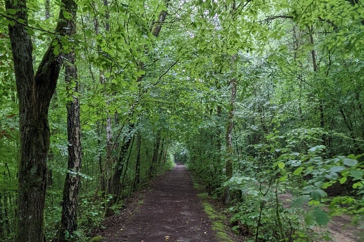
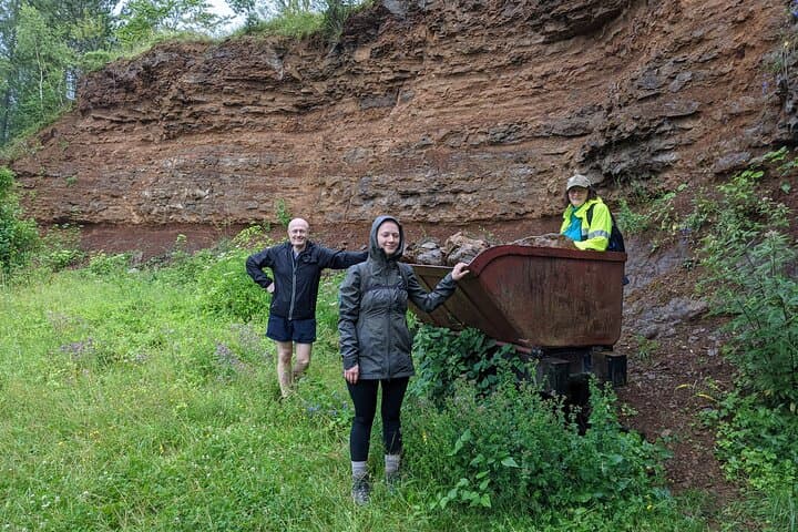
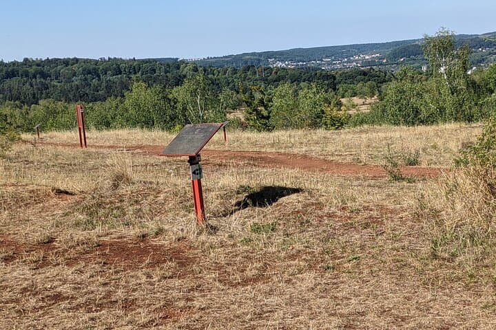
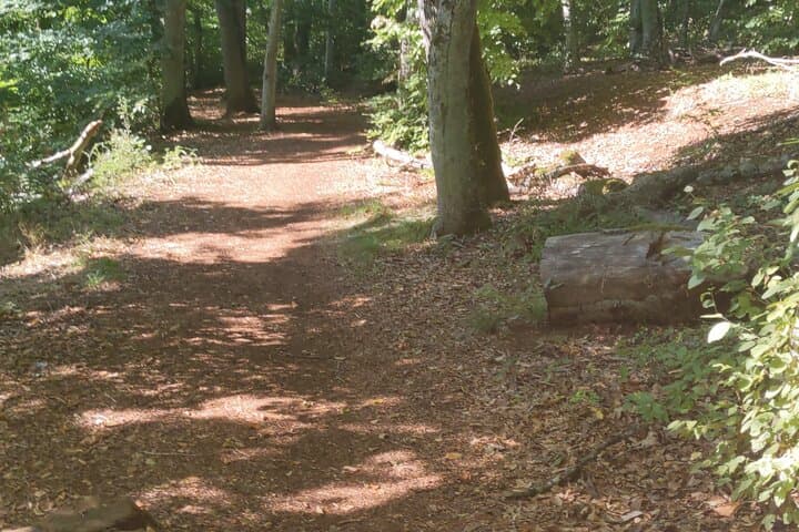
A walk begins where the ground itself changes color. Underfoot the soil shifts from grey to deep ochre — iron-rich earth that once fed Luxembourg’s steel furnaces. Start at Fond-de-Gras, where rusted tracks and stone ruins frame a wide sky; the trail threads through old mining terraces and pockets of mixed beech and pine, each slope revealing bands of red soil that gave this area its name.
A walk begins where the ground itself changes color. Underfoot the soil shifts from grey to deep ochre — iron-rich earth that once fed Luxembourg’s steel furnaces. Start at Fond-de-Gras, where rusted tracks and stone ruins frame a wide sky; the trail threads through old mining terraces and pockets of mixed beech and pine, each slope revealing bands of red soil that gave this area its name.
This landscape is industrial geology made visible: Permian iron-ore deposits and later 19th–20th century mining infrastructure shaped valleys and ridgelines. The Prézebierg Nature Reserve preserves fragments of that history alongside regenerating woodland and grassland mosaics. Local culture here is quiet and practical — mining towns like Rumelange left a working-class architecture and small museums that interpret the region’s industrial past.
Expect a moderate 3–4 hour route on varied terrain: compact dirt tracks, short steeps, and occasional stone stair sections. Typical distances are in the mid-single digits (6–10 km) with undulating elevation and isolated viewpoints over former quarries. The organization often supplies a light picnic; public transport access at start/finish makes this an easy day trip from Esch-sur-Alzette or Luxembourg City.
Practical notes: wear sturdy hiking shoes, bring water and layers — weather can swing quickly — and allow time to pause at interpretive signs and old tram sheds. Leave no trace on sensitive geological exposures and stick to marked paths to protect regeneration zones. This hike pairs tangible history with simple, direct outdoor terrain — ideal for hikers who like their views served with context.