THE ADVENTURE COLLECTIVE® · Independent discovery and booking for outdoor travel

A compact, 5-hour adventure that links Budlaan and Dormer’s Falls with Mt. Kan‑Irag (Sirao Peak). Expect forested singletrack, river crossings and a summit shelf that frames Cebu City below.
A compact, 5-hour adventure that links Budlaan and Dormer’s Falls with Mt. Kan‑Irag (Sirao Peak). Expect forested singletrack, river crossings and a summit shelf that frames Cebu City below.
You step off the jeepney onto a narrow dirt trail as the city’s hum falls away. The path quickly folds into forest—roots, river stones and the bright green of ferns—then opens to Budlaan Falls, where cool spray demands a pause. From here the route climbs through mixed secondary forest, crosses shallow streams, and threads past a second cascade, Dormer’s Falls, before the final switchbacks deliver you to Kan-Irag (Sirao) campsite and a wind-swept shelf with wide views of Cebu City and Mactan Island.
Verified experiences and guided adventures in the surrounding area.
Operated by EasyWays · Cebu City, Cebu
You step off the jeepney onto a narrow dirt trail as the city’s hum falls away. The path quickly folds into forest—roots, river stones and the bright green of ferns—then opens to Budlaan Falls, where cool spray demands a pause. From here the route climbs through mixed secondary forest, crosses shallow streams, and threads past a second cascade, Dormer’s Falls, before the final switchbacks deliver you to Kan-Irag (Sirao) campsite and a wind-swept shelf with wide views of Cebu City and Mactan Island.
This route ties together local geography and community: trails follow old footpaths used by upland farming families, river channels carved into volcanic and sedimentary rock, and rest points named after locals who kept the way. The ridge sits above the Transcentral Highway, offering geological evidence of uplift and erosion that shaped Cebu’s central highlands.
Expect tight singletrack, exposed roots, rock slabs, and short river crossings; the total Strava distance on the commercial route is about 6.8 km with several steep sections. Cultural touches—small shrines, painted trail markers, and roadside stalls near jump-off points—offer insight into daily life on these slopes.
Practical guidance: start early to avoid afternoon heat and rain, wear stout trail shoes, bring 1.5–2 L water, and pack a light rain layer. The hike is best done as a private guided walk if you want local history and secure route-finding; otherwise be prepared with offline maps and basic navigation skills.
challenging.
5 hours.
Requires good cardiovascular fitness and comfort with sustained uphill, uneven terrain, and short river crossings.
The guided route runs about 6.8 km round-trip and typically takes around 5 hours; expect steep sections and uneven terrain—good fitness is recommended.
No guaranteed potable sources; the tour provides bottled water but bring your own refillable supply where possible.
Fit beginners with prior day-hike experience can join, but the operator flags it as physically demanding—consider hiring a guide and starting early.
Entrance fees are usually included by tour operators; independent hikers should check local barangay or trailhead requirements and respect access rules.
Trails follow old upland routes used by farming communities and connect to the Transcentral Highway which opened access between Cebu City and mountain barangays.
Stick to marked trails and pack out waste; increasing foot traffic stresses fragile stream banks and understory—support local guides who practice Leave No Trace.
EasyWays operates guided outdoor trips and adventures with an emphasis on safety, stewardship, and memorable experiences.
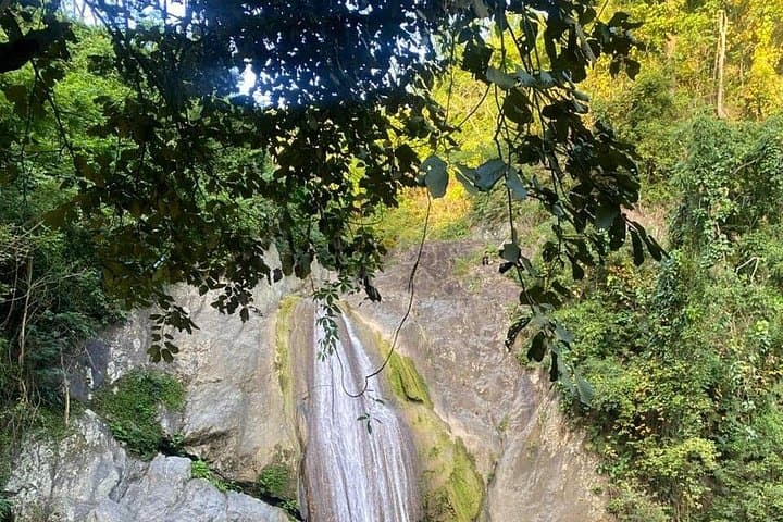
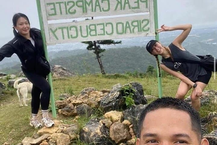
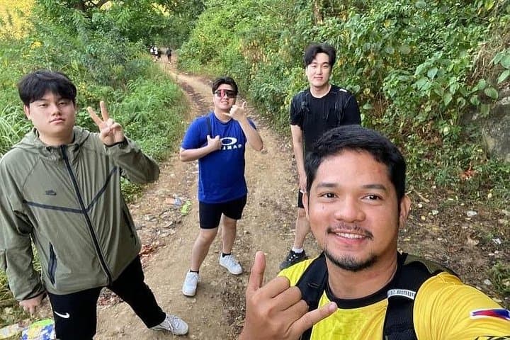
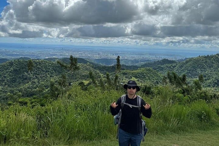
You step off the jeepney onto a narrow dirt trail as the city’s hum falls away. The path quickly folds into forest—roots, river stones and the bright green of ferns—then opens to Budlaan Falls, where cool spray demands a pause. From here the route climbs through mixed secondary forest, crosses shallow streams, and threads past a second cascade, Dormer’s Falls, before the final switchbacks deliver you to Kan-Irag (Sirao) campsite and a wind-swept shelf with wide views of Cebu City and Mactan Island.
You step off the jeepney onto a narrow dirt trail as the city’s hum falls away. The path quickly folds into forest—roots, river stones and the bright green of ferns—then opens to Budlaan Falls, where cool spray demands a pause. From here the route climbs through mixed secondary forest, crosses shallow streams, and threads past a second cascade, Dormer’s Falls, before the final switchbacks deliver you to Kan-Irag (Sirao) campsite and a wind-swept shelf with wide views of Cebu City and Mactan Island.
This route ties together local geography and community: trails follow old footpaths used by upland farming families, river channels carved into volcanic and sedimentary rock, and rest points named after locals who kept the way. The ridge sits above the Transcentral Highway, offering geological evidence of uplift and erosion that shaped Cebu’s central highlands.
Expect tight singletrack, exposed roots, rock slabs, and short river crossings; the total Strava distance on the commercial route is about 6.8 km with several steep sections. Cultural touches—small shrines, painted trail markers, and roadside stalls near jump-off points—offer insight into daily life on these slopes.
Practical guidance: start early to avoid afternoon heat and rain, wear stout trail shoes, bring 1.5–2 L water, and pack a light rain layer. The hike is best done as a private guided walk if you want local history and secure route-finding; otherwise be prepared with offline maps and basic navigation skills.