THE ADVENTURE COLLECTIVE® · Independent discovery and booking for outdoor travel

Follow a woodland ribbon to Skakavac, Bosnia and Herzegovina’s 98-meter waterfall. This 10 km day tour mixes a gentle descent, a picnic at the base, and a 3 km climb to a dramatic upper viewpoint.
Follow a woodland ribbon to Skakavac, Bosnia and Herzegovina’s 98-meter waterfall. This 10 km day tour mixes a gentle descent, a picnic at the base, and a 3 km climb to a dramatic upper viewpoint.
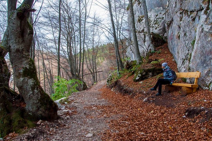
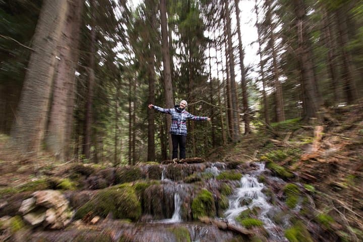
A fine morning on the Ozren slopes begins with conifers filtering the light and a steady cool breath from the canyon below — you move downhill on a gravel ribbon toward the sound of water that grows until the landscape answers in a single, vertical drop.
Verified experiences and guided adventures in the surrounding area.
Operated by Torus Tours · Sarajevo, Sarajevo Canton
A fine morning on the Ozren slopes begins with conifers filtering the light and a steady cool breath from the canyon below — you move downhill on a gravel ribbon toward the sound of water that grows until the landscape answers in a single, vertical drop.
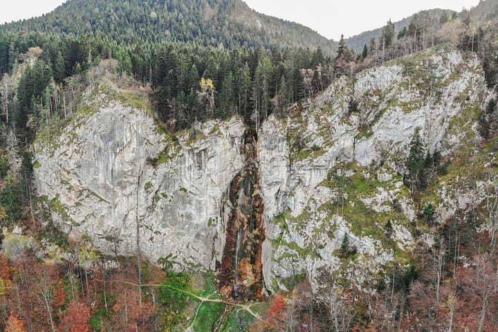
Skakavac is the tallest waterfall in Bosnia and Herzegovina at 98 meters, declared a nature monument by Sarajevo Canton in 2002. The falls form where limestone and flysch meet, carving a steep amphitheater that collects mist and supports mossy ledges and beech stands. The area carries traces of rural mountain life: shepherd paths, scattered stone walls, and views toward Bukovik peak (1,532 m).
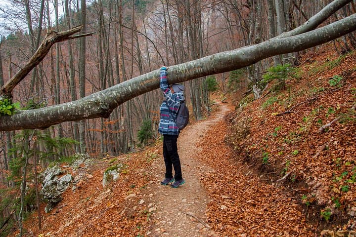
The tour covers roughly 10 km: about 5 km of gentle downhill approach, a picnic at the base, a contrasting 3 km uphill trail to a top-side viewpoint, then ~2 km of flat gravel back to the start. Terrain alternates compact dirt, exposed roots, and short rock steps; expect damp ground and a few slick sections near the falls.
Plan for a 4–7 hour outing, packed lunch included on the tour. Bring layers, waterproofs, and sturdy boots; start early in summer to avoid midday crowds and pick late spring or fall for cooler hiking and higher water flow. Respect marked trails — the site is protected and signs ask that visitors minimize fire, pack out trash, and keep noise low to protect nesting birds. The route suits hikers of most fitness levels who can manage a steady uphill stretch and uneven footing.
moderate.
4–7 hours.
Suitable for hikers with light to moderate fitness able to manage uneven trails and a sustained 3 km uphill section
The tour covers about 10 km total over mixed terrain with a 3 km uphill section; it’s rated moderate but suitable for most people in reasonable shape.
Yes — the tour includes a picnic lunch eaten near the base of the waterfall.
The waterfall is roughly 15 km from Sarajevo; the tour provides private transport from pickup points arranged in advance.
Late spring and early summer (May–June) usually give the fullest flow from snowmelt; early fall offers cooler weather and clearer views.
Skakavac and its surrounding woodlands were designated a nature monument by Sarajevo Canton in 2002 to protect its geological and ecological features.
Stay on marked trails, pack out all waste, and avoid open fires—visitor pressure and seasonal droughts make fire safety and leave-no-trace practices essential.
Torus Tours operates guided outdoor trips and adventures with an emphasis on safety, stewardship, and memorable experiences.
A fine morning on the Ozren slopes begins with conifers filtering the light and a steady cool breath from the canyon below — you move downhill on a gravel ribbon toward the sound of water that grows until the landscape answers in a single, vertical drop.
A fine morning on the Ozren slopes begins with conifers filtering the light and a steady cool breath from the canyon below — you move downhill on a gravel ribbon toward the sound of water that grows until the landscape answers in a single, vertical drop.
Skakavac is the tallest waterfall in Bosnia and Herzegovina at 98 meters, declared a nature monument by Sarajevo Canton in 2002. The falls form where limestone and flysch meet, carving a steep amphitheater that collects mist and supports mossy ledges and beech stands. The area carries traces of rural mountain life: shepherd paths, scattered stone walls, and views toward Bukovik peak (1,532 m).
The tour covers roughly 10 km: about 5 km of gentle downhill approach, a picnic at the base, a contrasting 3 km uphill trail to a top-side viewpoint, then ~2 km of flat gravel back to the start. Terrain alternates compact dirt, exposed roots, and short rock steps; expect damp ground and a few slick sections near the falls.
Plan for a 4–7 hour outing, packed lunch included on the tour. Bring layers, waterproofs, and sturdy boots; start early in summer to avoid midday crowds and pick late spring or fall for cooler hiking and higher water flow. Respect marked trails — the site is protected and signs ask that visitors minimize fire, pack out trash, and keep noise low to protect nesting birds. The route suits hikers of most fitness levels who can manage a steady uphill stretch and uneven footing.