THE ADVENTURE COLLECTIVE® · Independent discovery and booking for outdoor travel

Climb Maunga Terevaka for a sweeping 360° panorama of Rapa Nui and the surrounding Pacific. This 3–4 hour moderate hike crosses volcanic slopes, visits a reed-covered crater, and offers clear insight into the island’s geology and cultural landscape.
Climb Maunga Terevaka for a sweeping 360° panorama of Rapa Nui and the surrounding Pacific. This 3–4 hour moderate hike crosses volcanic slopes, visits a reed-covered crater, and offers clear insight into the island’s geology and cultural landscape.
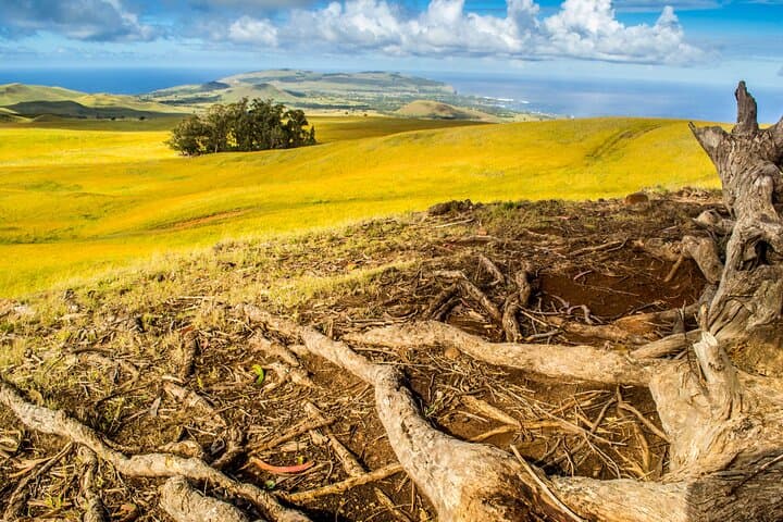
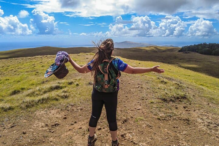
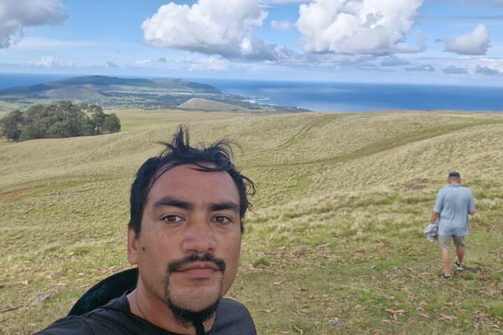
Wind cuts across the final ridge and the Pacific unfolds in every direction — that’s the first thing hikers notice as they crest Maunga Terevaka. The approach from Vaitea begins with a short drive, then a steady, well-worn trail climbs the mountain’s broad volcanic slopes. Footsteps crunch on lapilli and tufts of grass, and the island’s basalt bones reveal themselves in low cliffs and scattered rocks.
Verified experiences and guided adventures in the surrounding area.
Operated by Rapanui Pioneers Society (RPS) · Hanga Roa, Valparaíso Region
Wind cuts across the final ridge and the Pacific unfolds in every direction — that’s the first thing hikers notice as they crest Maunga Terevaka. The approach from Vaitea begins with a short drive, then a steady, well-worn trail climbs the mountain’s broad volcanic slopes. Footsteps crunch on lapilli and tufts of grass, and the island’s basalt bones reveal themselves in low cliffs and scattered rocks.
Terevaka is the island’s youngest volcanic mass and its roof, rising to roughly 507 meters above sea level. From the upper plateau you can peer down into the reed-lined Rano Aroi crater and scan the coastline where moai dot the shorelines and the sea dares you to measure its horizon. Rapa Nui’s culture is never far: the island’s settlement patterns and quarrying at Rano Raraku are legible in the landscape, and local guides often weave oral history into the ascent.
Practically speaking, expect 3–4 hours round-trip, moderate footing and sustained sun exposure. Trails are mostly dirt and volcanic gravel with occasional eroded sections; wind can make temperatures feel cooler than the thermometer suggests. Carry 1–2 liters of water, sun protection, and layered clothing for gusts. The route is suitable for hikers with moderate fitness; it’s not technical but does demand steady legs and awareness on loose rock.
This hike is a compact way to read Rapa Nui’s geology, history and maritime horizon in a single view — efficient, elemental and surprisingly expansive.
moderate.
3–4 hours.
Suitable for hikers with a moderate fitness level — able to sustain continuous uphill walking on loose terrain for up to 2 hours before descending.
The operator lists 180–240 minutes total; expect a moderate hike with steady uphill sections on loose volcanic terrain and an easy-to-moderate descent.
Yes—private, air-conditioned transportation is included from pickup points in Hanga Roa as part of the tour.
This activity is not recommended for travelers with significant spinal injuries, heart conditions, or for pregnant travelers; moderate fitness is required.
Cell service is unreliable and there are no restroom or water facilities on the trail, so plan accordingly.
Maunga Terevaka is the island’s youngest volcanic mass and its summit provides vantage points that reflect how Rapa Nui communities used coastal and highland resources over centuries.
Easter Island’s fragile soils and archaeological sites are vulnerable to erosion and trampling; stay on established trails and follow local guidelines to protect both natural and cultural features.
Rapanui Pioneers Society (RPS) operates guided outdoor trips and adventures with an emphasis on safety, stewardship, and memorable experiences.
Wind cuts across the final ridge and the Pacific unfolds in every direction — that’s the first thing hikers notice as they crest Maunga Terevaka. The approach from Vaitea begins with a short drive, then a steady, well-worn trail climbs the mountain’s broad volcanic slopes. Footsteps crunch on lapilli and tufts of grass, and the island’s basalt bones reveal themselves in low cliffs and scattered rocks.
Wind cuts across the final ridge and the Pacific unfolds in every direction — that’s the first thing hikers notice as they crest Maunga Terevaka. The approach from Vaitea begins with a short drive, then a steady, well-worn trail climbs the mountain’s broad volcanic slopes. Footsteps crunch on lapilli and tufts of grass, and the island’s basalt bones reveal themselves in low cliffs and scattered rocks.
Terevaka is the island’s youngest volcanic mass and its roof, rising to roughly 507 meters above sea level. From the upper plateau you can peer down into the reed-lined Rano Aroi crater and scan the coastline where moai dot the shorelines and the sea dares you to measure its horizon. Rapa Nui’s culture is never far: the island’s settlement patterns and quarrying at Rano Raraku are legible in the landscape, and local guides often weave oral history into the ascent.
Practically speaking, expect 3–4 hours round-trip, moderate footing and sustained sun exposure. Trails are mostly dirt and volcanic gravel with occasional eroded sections; wind can make temperatures feel cooler than the thermometer suggests. Carry 1–2 liters of water, sun protection, and layered clothing for gusts. The route is suitable for hikers with moderate fitness; it’s not technical but does demand steady legs and awareness on loose rock.
This hike is a compact way to read Rapa Nui’s geology, history and maritime horizon in a single view — efficient, elemental and surprisingly expansive.