THE ADVENTURE COLLECTIVE® · Independent discovery and booking for outdoor travel

Climb 2.8 km and about 400 stairs for panoramic views of Herradura Bay and the Nicoya Gulf. This self-guided rainforest hike is short, steep, wildlife-rich, and best for fit travelers seeking a challenging two-hour outing.
Climb 2.8 km and about 400 stairs for panoramic views of Herradura Bay and the Nicoya Gulf. This self-guided rainforest hike is short, steep, wildlife-rich, and best for fit travelers seeking a challenging two-hour outing.
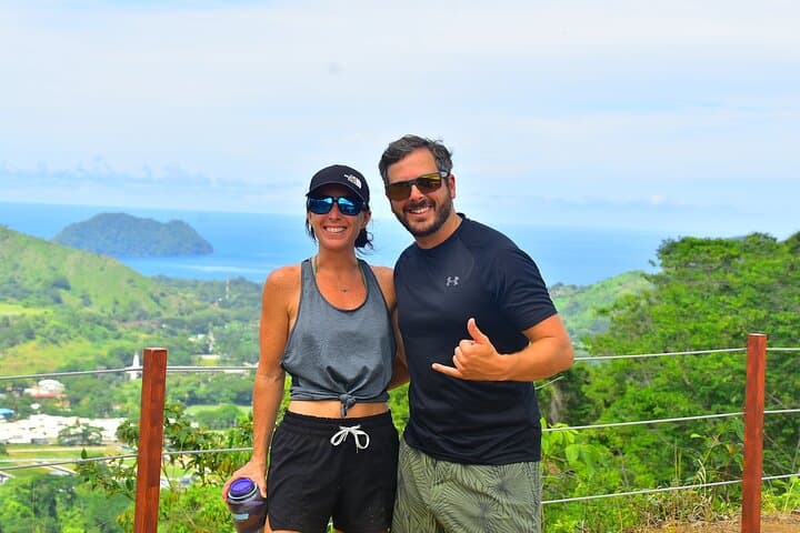
You step onto a sun-dappled stair and the rainforest starts to push back—breathing humidity, calls of distant toucans, and the Pacific daring you beyond the ridge. The trail climbs steadily, a sequence of roughly 400 steps that wind 2.8 km up to a lookout where Herradura Bay, Herradura Island, and the Nicoya Gulf lay out like a blue fault line.
Verified experiences and guided adventures in the surrounding area.
Operated by Vista Los Suenos Adventure Park · Herradura, Puntarenas
You step onto a sun-dappled stair and the rainforest starts to push back—breathing humidity, calls of distant toucans, and the Pacific daring you beyond the ridge. The trail climbs steadily, a sequence of roughly 400 steps that wind 2.8 km up to a lookout where Herradura Bay, Herradura Island, and the Nicoya Gulf lay out like a blue fault line.
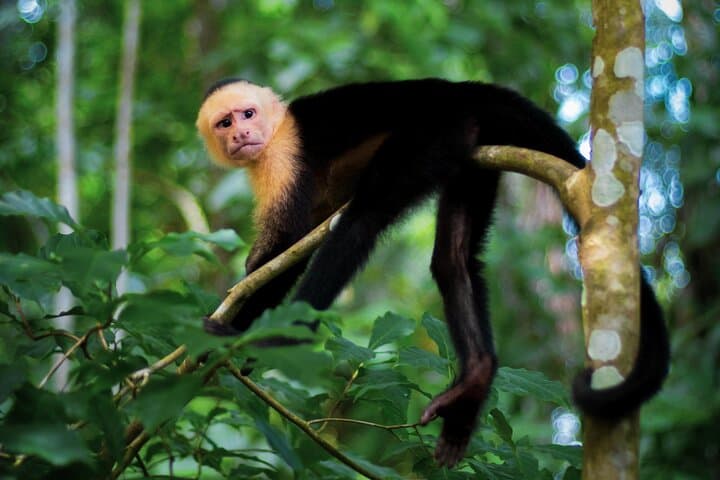
This property sits on volcanic foothills shaped by tectonic folding along Costa Rica’s central Pacific coast. The forest is lowland tropical, marked by large emergent trees identified by more than 20 interpretive signs along the route. Culturally, the area has long been part of coastal Puntarenas livelihoods—fishing villages, small-scale agriculture, and growing eco-tourism that emphasizes wildlife viewing (scarlet macaws, chestnut-mandibled toucans, white-faced capuchins).
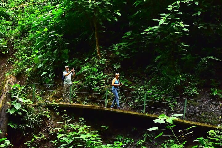
Expect steep, often-stepped terrain with intermittent benches at rest stops. Wildlife is quiet and opportunistic—early morning or late afternoon bring the best sightings. The trail is self-guided: a map and walking stick are provided, and photo spots are signed for framing panoramic ocean views.
Practical tips: hydrate before ascent, use insect repellent, and pace yourself on the stair sections—this hike is physically demanding rather than technical. Footwear with good grip matters; rain can make stone steps slick during the wet season. Allow roughly two hours round-trip for a fit hiker; add time if you plan extended wildlife watching or photography. The route rewards effort with broad ocean vistas and a concise rainforest immersion—an efficient, strenuous outing for travelers who want a short but honest mountain-to-sea experience.
challenging.
2 hours.
High level of cardiovascular fitness and stair-climbing ability; short but sustained effort required.
The trail is 2.8 km one-way with about 400 meters of elevation gain and roughly 400 steps; plan about two hours round-trip for fit hikers.
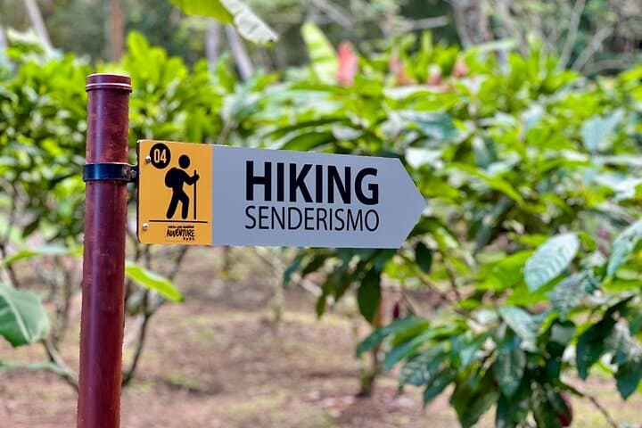
This is a self-guided trail with a provided map, wayfinding signs, and more than 20 interpretive panels identifying plants and viewpoints.
Yes—scarlet macaws, chestnut-mandibled toucans and white-faced capuchin monkeys are commonly reported; early morning or late afternoon sightings are likeliest.
People with serious back, heart, or mobility issues, pregnant travelers, or those unable to climb many stairs should avoid this trail due to its steep, sustained nature.
The coastline around Herradura has long been a mix of small-scale fishing settlements and, more recently, private properties converted for eco-tourism and conservation research.
Stay on marked paths and avoid feeding wildlife; the property uses interpretive signs and limited infrastructure to reduce impact and protect nesting and foraging habitat.
Vista Los Suenos Adventure Park operates guided outdoor trips and adventures with an emphasis on safety, stewardship, and memorable experiences.
You step onto a sun-dappled stair and the rainforest starts to push back—breathing humidity, calls of distant toucans, and the Pacific daring you beyond the ridge. The trail climbs steadily, a sequence of roughly 400 steps that wind 2.8 km up to a lookout where Herradura Bay, Herradura Island, and the Nicoya Gulf lay out like a blue fault line.
You step onto a sun-dappled stair and the rainforest starts to push back—breathing humidity, calls of distant toucans, and the Pacific daring you beyond the ridge. The trail climbs steadily, a sequence of roughly 400 steps that wind 2.8 km up to a lookout where Herradura Bay, Herradura Island, and the Nicoya Gulf lay out like a blue fault line.
This property sits on volcanic foothills shaped by tectonic folding along Costa Rica’s central Pacific coast. The forest is lowland tropical, marked by large emergent trees identified by more than 20 interpretive signs along the route. Culturally, the area has long been part of coastal Puntarenas livelihoods—fishing villages, small-scale agriculture, and growing eco-tourism that emphasizes wildlife viewing (scarlet macaws, chestnut-mandibled toucans, white-faced capuchins).
Expect steep, often-stepped terrain with intermittent benches at rest stops. Wildlife is quiet and opportunistic—early morning or late afternoon bring the best sightings. The trail is self-guided: a map and walking stick are provided, and photo spots are signed for framing panoramic ocean views.
Practical tips: hydrate before ascent, use insect repellent, and pace yourself on the stair sections—this hike is physically demanding rather than technical. Footwear with good grip matters; rain can make stone steps slick during the wet season. Allow roughly two hours round-trip for a fit hiker; add time if you plan extended wildlife watching or photography. The route rewards effort with broad ocean vistas and a concise rainforest immersion—an efficient, strenuous outing for travelers who want a short but honest mountain-to-sea experience.