THE ADVENTURE COLLECTIVE® · Independent discovery and booking for outdoor travel

Four days on Vietnam’s northern edge: tight switchbacks, the Ma Pi Leng crest at ~2,000 m, stone forests of the Dong Van Plateau, and nights with local families. This route blends short treks with scenic driving and cultural encounters.
Four days on Vietnam’s northern edge: tight switchbacks, the Ma Pi Leng crest at ~2,000 m, stone forests of the Dong Van Plateau, and nights with local families. This route blends short treks with scenic driving and cultural encounters.
A wind that smells of pine and wet stone greets you as the minivan snakes away from Ha Giang town and into a landscape that changes every bend — terraced fields give way to jagged limestone, then to steep, hairpin climbs clinging to cloudline. Over four days and three nights you ride those roads, step into Hmong and Tay homes, and walk short mountain trails that punctuate a longer road-based trek across the Dong Van Karst Plateau.
Verified experiences and guided adventures in the surrounding area.
Operated by Mr Linh's Adventures · Ha Giang, Ha Giang Province
A wind that smells of pine and wet stone greets you as the minivan snakes away from Ha Giang town and into a landscape that changes every bend — terraced fields give way to jagged limestone, then to steep, hairpin climbs clinging to cloudline. Over four days and three nights you ride those roads, step into Hmong and Tay homes, and walk short mountain trails that punctuate a longer road-based trek across the Dong Van Karst Plateau.
This route traces old trade tracks and colonial outposts: Pu Lo fortress perches above Dong Van, and the Vuong family palace recalls a time of regional power and opium trade. Geologically the plateau is a karst landscape — limestone folded and weathered into stone forests and sheer cliffs; Ma Pi Leng Pass tops out near 2,000 meters, offering sweeping views into the Nho Que River gorge.
Expect driving blocks of 6–10 hours on day 1 and the return on day 4, with shorter road sections between Dong Van, Meo Vac and Ha Giang. Trekking is light-to-moderate: 3–5 km on day 2 and 8–10 km of mixed trails and village paths on day 3, with uneven surfaces, loose rock and some steep pitches. Guides handle permits and local logistics; nights alternate between homestays and basic hotels.
Practical edge: pack layered rain gear, sturdy hiking shoes, and water purification or tablets; plan for cool nights and strong mountain sun. Move slowly on the pass to acclimatize, keep cash for markets and tips, and respect household customs when staying with ethnic minority families.
moderate.
4 days.
Moderate — suitable for walkers who can handle 3–10 km on uneven ground and tolerate long vehicle transfers
Yes — Ha Giang requires a permit; on guided tours the guide typically arranges this for you using your passport details.
Trekking sections are short (3–10 km total) over uneven village paths and trails — they are moderate in difficulty and suitable for reasonably fit travelers.
Nights alternate between homestays (traditional stilt houses) and simple hotels or ecolodges with basic amenities and local meals.
Elevations reach around 2,000 m at Ma Pi Leng — most travelers are fine if they ascend slowly, stay hydrated, and avoid alcohol the first night.
The Dong Van Plateau has long been home to Hmong, Tay and Dao communities; the Vuong family palace and French-built Pu Lo fortress reflect regional power shifts in the early 20th century.
Keep to marked paths and avoid buying wildlife products. Local communities increasingly rely on sustainable homestay income, so low-impact travel supports conservation.
Mr Linh's Adventures operates guided outdoor trips and adventures with an emphasis on safety, stewardship, and memorable experiences.
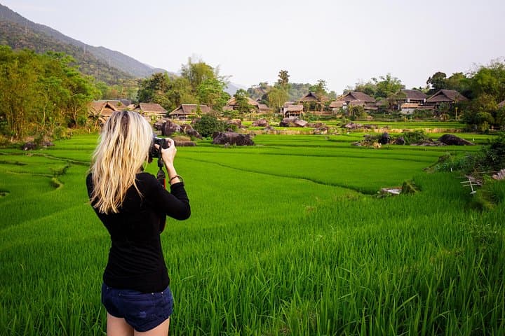
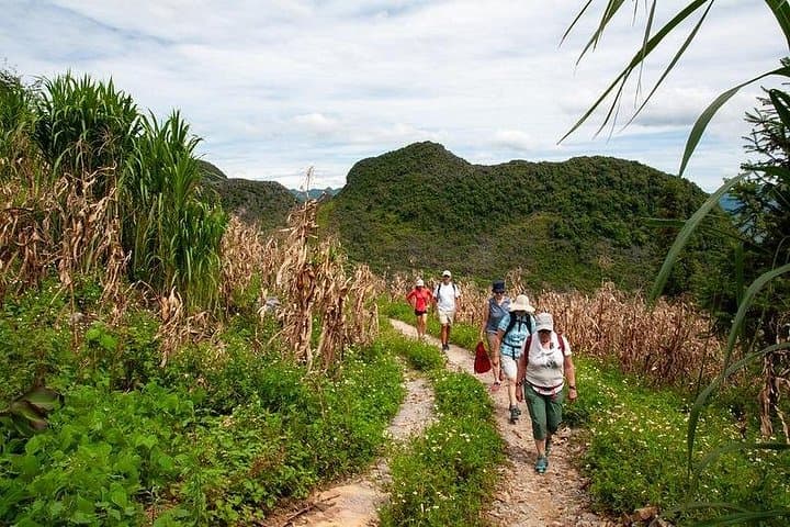
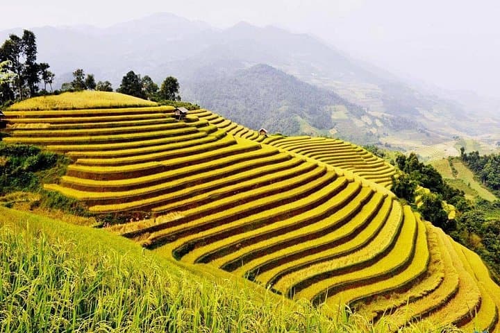
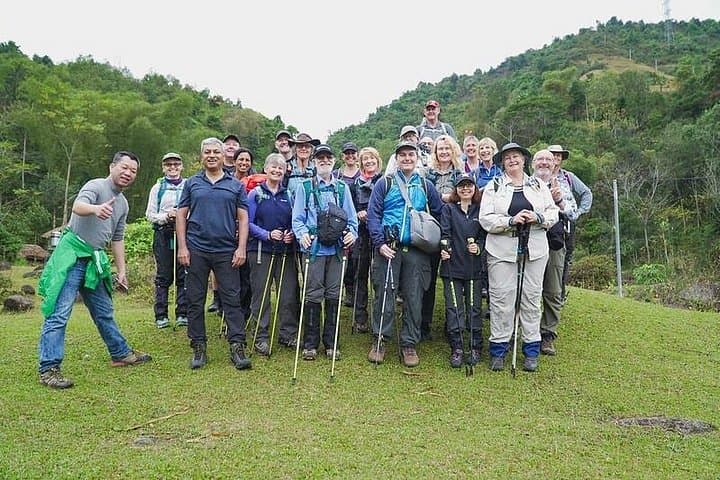
A wind that smells of pine and wet stone greets you as the minivan snakes away from Ha Giang town and into a landscape that changes every bend — terraced fields give way to jagged limestone, then to steep, hairpin climbs clinging to cloudline. Over four days and three nights you ride those roads, step into Hmong and Tay homes, and walk short mountain trails that punctuate a longer road-based trek across the Dong Van Karst Plateau.
A wind that smells of pine and wet stone greets you as the minivan snakes away from Ha Giang town and into a landscape that changes every bend — terraced fields give way to jagged limestone, then to steep, hairpin climbs clinging to cloudline. Over four days and three nights you ride those roads, step into Hmong and Tay homes, and walk short mountain trails that punctuate a longer road-based trek across the Dong Van Karst Plateau.
This route traces old trade tracks and colonial outposts: Pu Lo fortress perches above Dong Van, and the Vuong family palace recalls a time of regional power and opium trade. Geologically the plateau is a karst landscape — limestone folded and weathered into stone forests and sheer cliffs; Ma Pi Leng Pass tops out near 2,000 meters, offering sweeping views into the Nho Que River gorge.
Expect driving blocks of 6–10 hours on day 1 and the return on day 4, with shorter road sections between Dong Van, Meo Vac and Ha Giang. Trekking is light-to-moderate: 3–5 km on day 2 and 8–10 km of mixed trails and village paths on day 3, with uneven surfaces, loose rock and some steep pitches. Guides handle permits and local logistics; nights alternate between homestays and basic hotels.
Practical edge: pack layered rain gear, sturdy hiking shoes, and water purification or tablets; plan for cool nights and strong mountain sun. Move slowly on the pass to acclimatize, keep cash for markets and tips, and respect household customs when staying with ethnic minority families.