THE ADVENTURE COLLECTIVE® · Independent discovery and booking for outdoor travel

Drive dramatic mountain roads, visit ethnic-minority villages, and stand at Ma Pi Leng Pass overlooking the Nho Que River. This private 3-day car tour across the Ha Giang Loop pairs off-road scenery with cultural stops and homestay nights.
Drive dramatic mountain roads, visit ethnic-minority villages, and stand at Ma Pi Leng Pass overlooking the Nho Que River. This private 3-day car tour across the Ha Giang Loop pairs off-road scenery with cultural stops and homestay nights.
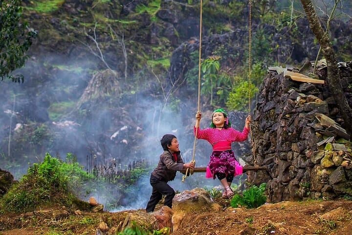
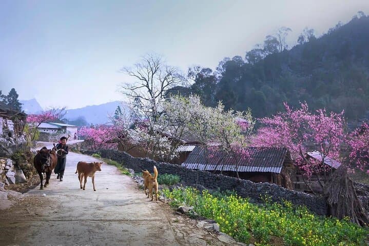
A mist lifts off a high plateau as a private car threads a narrow ribbon of asphalt along the Ha Giang Loop. You feel the road work with the land—switchbacks that climb karst ridges, valleys where clouds pool like slow rivers, and villages where wooden houses and woven brocade mark rhythms older than the tarmac.
Verified experiences and guided adventures in the surrounding area.
Operated by Local Tours SAPA · Ha Giang, Ha Giang Province
A mist lifts off a high plateau as a private car threads a narrow ribbon of asphalt along the Ha Giang Loop. You feel the road work with the land—switchbacks that climb karst ridges, valleys where clouds pool like slow rivers, and villages where wooden houses and woven brocade mark rhythms older than the tarmac.
This three-day route follows roads cut into limestone and shale that tell a quiet geological story: tectonic uplift sculpted steep canyons and isolated plateaus, creating the dramatic cliffs at Ma Pi Leng and the meandering Nho Que River below. Centuries of migration and trade have left a cultural patchwork—H’mong, Tay, Lo Lo communities hold brocade traditions in Lung Tam and the Vuong mansion in Dong Van speaks to the era of semi-feudal Hmong leaders and colonial contact.
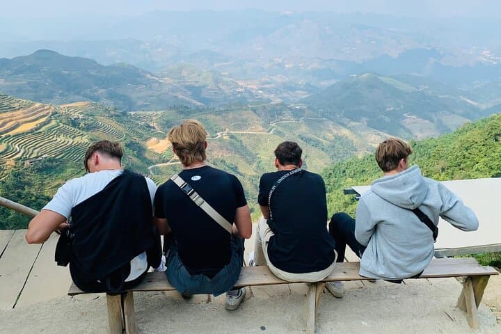
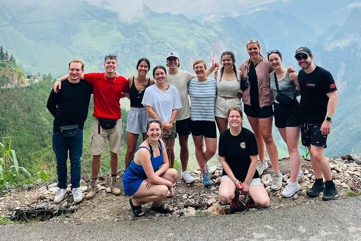
Expect viewpoint stops—Quan Ba Heaven Gate, Tham Ma, Sung La valley—and short walks around Lung Cam and village homestays. The pace is driven, with photography and cultural exchange the principal activities rather than long hikes.
Practical guidance: take motion-sickness remedies and strong walking shoes for uneven village paths; carry local currency (ATMs are sparse outside Ha Giang city); and pack a light rain shell—mountain weather flips fast. Start early to avoid midday haze at the passes and allow extra time for roadside photo stops. Respect local customs by asking before photographing people, and keep plastic use to a minimum—the plateau is ecologically fragile. With a private guide and vehicle, this loop is an efficient way to access remote viewpoints, weave shops, and homestays while minimizing logistics so you can focus on the landscape and the people who live within it.
easy.
3 days (full days of driving with short walks).
Suitable for travelers in general good health who can manage short uneven walks and vehicle transfers
A private driver and English-speaking guide make the three-day route safe and efficient, handling mountain driving, local permits, and translation.
Homestays are basic but clean—expect shared bathrooms and simple meals featuring local Tay or H’mong dishes; bring a small towel and modest sleeping-layer if sensitive to cold.
The itinerary is accessible to most ages since it’s vehicle-based, but consider motion-sickness, long drives, and mountain roads when booking for very young or frail travelers.
Private tours typically allow itinerary adjustments—discuss additional hikes or extra nights in Dong Van or Meo Vac with the operator at booking.
The Dong Van karst plateau was historically a frontier corridor where ethnic groups like the H’mong and Lo Lo preserved distinct crafts and social structures; the Vuong mansion reflects a period of semi-feudal rule among H’mong leaders.
Tourism pressures and plastic waste have increased on the plateau—limit single-use plastics, avoid off-trail erosion, and support local businesses that follow sustainable practices.
Local Tours SAPA operates guided outdoor trips and adventures with an emphasis on safety, stewardship, and memorable experiences.
A mist lifts off a high plateau as a private car threads a narrow ribbon of asphalt along the Ha Giang Loop. You feel the road work with the land—switchbacks that climb karst ridges, valleys where clouds pool like slow rivers, and villages where wooden houses and woven brocade mark rhythms older than the tarmac.
A mist lifts off a high plateau as a private car threads a narrow ribbon of asphalt along the Ha Giang Loop. You feel the road work with the land—switchbacks that climb karst ridges, valleys where clouds pool like slow rivers, and villages where wooden houses and woven brocade mark rhythms older than the tarmac.
This three-day route follows roads cut into limestone and shale that tell a quiet geological story: tectonic uplift sculpted steep canyons and isolated plateaus, creating the dramatic cliffs at Ma Pi Leng and the meandering Nho Que River below. Centuries of migration and trade have left a cultural patchwork—H’mong, Tay, Lo Lo communities hold brocade traditions in Lung Tam and the Vuong mansion in Dong Van speaks to the era of semi-feudal Hmong leaders and colonial contact.
Expect viewpoint stops—Quan Ba Heaven Gate, Tham Ma, Sung La valley—and short walks around Lung Cam and village homestays. The pace is driven, with photography and cultural exchange the principal activities rather than long hikes.
Practical guidance: take motion-sickness remedies and strong walking shoes for uneven village paths; carry local currency (ATMs are sparse outside Ha Giang city); and pack a light rain shell—mountain weather flips fast. Start early to avoid midday haze at the passes and allow extra time for roadside photo stops. Respect local customs by asking before photographing people, and keep plastic use to a minimum—the plateau is ecologically fragile. With a private guide and vehicle, this loop is an efficient way to access remote viewpoints, weave shops, and homestays while minimizing logistics so you can focus on the landscape and the people who live within it.