THE ADVENTURE COLLECTIVE® · Independent discovery and booking for outdoor travel

A four-day self-driving loop around the Ha Giang Karst Plateau that pairs high mountain passes with homestay evenings and short village hikes. Expect dramatic limestone scenery, ethnic minority culture, and variable road conditions that reward prepared riders.
A four-day self-driving loop around the Ha Giang Karst Plateau that pairs high mountain passes with homestay evenings and short village hikes. Expect dramatic limestone scenery, ethnic minority culture, and variable road conditions that reward prepared riders.
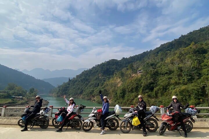
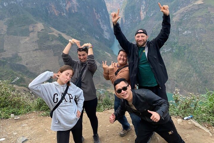
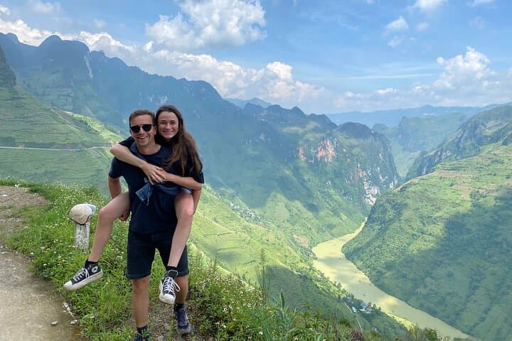
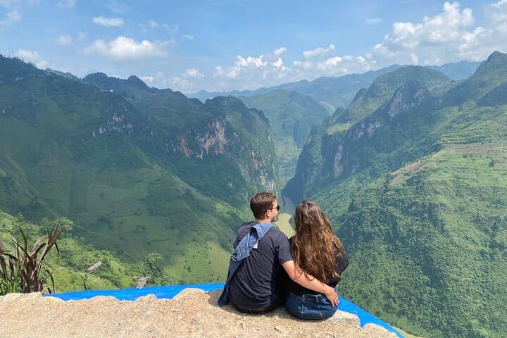
Morning light slices across limestone ribs as riders peel away from Ha Giang city, tires whispering on switchbacks that climb into the Dong Van Karst Plateau. The road narrows; clouds and cliffs trade places. Rivers below dare you to look away while terraced fields and scattered villages keep pace with the turning wheels.
Verified experiences and guided adventures in the surrounding area.
Operated by Ha Giang Road Trip · Ha Giang, Ha Giang Province
Morning light slices across limestone ribs as riders peel away from Ha Giang city, tires whispering on switchbacks that climb into the Dong Van Karst Plateau. The road narrows; clouds and cliffs trade places. Rivers below dare you to look away while terraced fields and scattered villages keep pace with the turning wheels.
This four-day loop threads through Vietnam’s first UNESCO-recognized Geopark, an uplifted ancient seabed of folded limestone and shale carved into jagged towers and deep valleys. Centuries of Hmong, Dao and Tay presence shape village roofs, hemp weaving techniques and the Hmong King’s palace in Sa Phin — living chapters of regional culture handed down across generations.
Expect a mix of paved and rough mountain roads, short village hikes to waterfalls and caves, and evenings in family-run homestays where traditional music and simple rice-based meals set the rhythm of the night. Key geological highlights include Ma Pi Leng Pass and the Bac Sum ridge; from Lung Cu flagpole the landscape opens toward China in stark, panoramic relief.
Practically: riders should be comfortable on motorbikes over long days (4–6 hours riding plus walking), carry cash — ATM access is limited — and pack layered clothing for swift weather shifts. Hydrate often; high-altitude sun and wind can be more draining than steep climbs. Respect local customs: ask before photographing people and remove shoes in private spaces. With preparation, the Ha Giang Loop rewards steady attention with dramatic vistas, quiet village life, and a visceral sense of place best earned at two wheels and two feet.
challenging.
4 days.
Good cardiovascular fitness and endurance for multiple 4–6 hour riding days and short hikes; comfortable mounting/dismounting motorcycles and walking on uneven trails.
Yes — confident handling of a motorbike on mountain switchbacks and unpaved sections is recommended; guides expect riders to control their own bikes.
The tour description includes private rooms; availability can vary so confirm during booking and communicate group size and gender preferences.
Routes remain possible but can be slippery and more challenging after heavy rains; operators may alter the itinerary or cancel unsafe sections.
Elevations here are moderate (up to ~1,400–1,900 m in passes); most visitors adapt, but stay hydrated, rest, and mention any history of altitude issues when booking.
The Dong Van Karst Plateau preserves marine fossils and outcrops that record millions of years of tectonic uplift; local Hmong, Dao and Tay cultures have occupied these high valleys for centuries.
Visitors should minimize waste, avoid disturbing farmland and livestock, and respect local guidelines; supporting homestays helps keep tourism benefits local and sustainable.
Ha Giang Road Trip operates guided outdoor trips and adventures with an emphasis on safety, stewardship, and memorable experiences.
Morning light slices across limestone ribs as riders peel away from Ha Giang city, tires whispering on switchbacks that climb into the Dong Van Karst Plateau. The road narrows; clouds and cliffs trade places. Rivers below dare you to look away while terraced fields and scattered villages keep pace with the turning wheels.
Morning light slices across limestone ribs as riders peel away from Ha Giang city, tires whispering on switchbacks that climb into the Dong Van Karst Plateau. The road narrows; clouds and cliffs trade places. Rivers below dare you to look away while terraced fields and scattered villages keep pace with the turning wheels.
This four-day loop threads through Vietnam’s first UNESCO-recognized Geopark, an uplifted ancient seabed of folded limestone and shale carved into jagged towers and deep valleys. Centuries of Hmong, Dao and Tay presence shape village roofs, hemp weaving techniques and the Hmong King’s palace in Sa Phin — living chapters of regional culture handed down across generations.
Expect a mix of paved and rough mountain roads, short village hikes to waterfalls and caves, and evenings in family-run homestays where traditional music and simple rice-based meals set the rhythm of the night. Key geological highlights include Ma Pi Leng Pass and the Bac Sum ridge; from Lung Cu flagpole the landscape opens toward China in stark, panoramic relief.
Practically: riders should be comfortable on motorbikes over long days (4–6 hours riding plus walking), carry cash — ATM access is limited — and pack layered clothing for swift weather shifts. Hydrate often; high-altitude sun and wind can be more draining than steep climbs. Respect local customs: ask before photographing people and remove shoes in private spaces. With preparation, the Ha Giang Loop rewards steady attention with dramatic vistas, quiet village life, and a visceral sense of place best earned at two wheels and two feet.