THE ADVENTURE COLLECTIVE® · Independent discovery and booking for outdoor travel

Four days, 350 km and some of Vietnam’s most dramatic mountain roads: the Ha Giang Loop takes riders over Ma Pi Leng Pass, down into Tu San Canyon and into villages where Hmong and Dao culture is visible on every corner. This guided self-ride balances big scenery with practical support.
Four days, 350 km and some of Vietnam’s most dramatic mountain roads: the Ha Giang Loop takes riders over Ma Pi Leng Pass, down into Tu San Canyon and into villages where Hmong and Dao culture is visible on every corner. This guided self-ride balances big scenery with practical support.
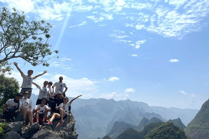
You kick the sidestand and the valley exhales — engine ticks mixing with wind that has learned every hairpin. Over four days you trace roughly 350 km of northern Vietnam where roads climb, peel away and reveal raw limestone ridges, terraced fields and river canyons that seem to dare you to look down.
Verified experiences and guided adventures in the surrounding area.
Operated by TripBestie Ha Giang · Ha Giang, Ha Giang Province
You kick the sidestand and the valley exhales — engine ticks mixing with wind that has learned every hairpin. Over four days you trace roughly 350 km of northern Vietnam where roads climb, peel away and reveal raw limestone ridges, terraced fields and river canyons that seem to dare you to look down.
This ride threads the Dong Van Karst Plateau, land uplifted and carved into jagged towers over millions of years. The route crosses Ma Pi Leng — one of Vietnam’s most dramatic passes — and drops to the narrow Nho Que river that has gouged Tu San Canyon, Southeast Asia’s dramatic gorge. Alongside geology, the region is a cultural crossroads: Hmong, Dao and Tay communities maintain woven linen, rammed-earth houses and periodic open-air markets that date back generations.
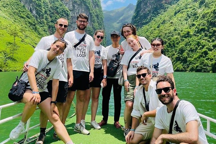
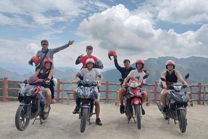
Expect compact towns, simple homestays and local food that refuels as effectively as the welcome. Practicalities matter: the loop is mostly paved but includes narrow shoulders, steep gradients and occasional gravel or dust; semi-automatic motorbikes are supplied, and an experienced guide handles logistics and local permits. Daily rides average 80–100 km with long photo stops and a boat transfer through the canyon.
Bring durable riding gear, plan for sudden weather swings, and allow extra daylight for mountain slowdowns. Hydrate, check brakes each morning, and carry cash for remote villages. End each day with a warm meal, a cold shower where available, and the kind of quiet that only high places can hand you — patient, watchful and somehow earned.
challenging.
4 days (approx. 8–10 hours riding most days with stops).
Good cardiovascular fitness and stamina for long days on a motorcycle; ability to mount/dismount frequently and handle brief hikes at viewpoints.
Yes — an international driving license valid for motorcycles is required; operators typically do not allow participants without it.
Riders should be in good physical condition to manage long hours on a bike and short walks to viewpoints; no extreme fitness required but stamina matters.
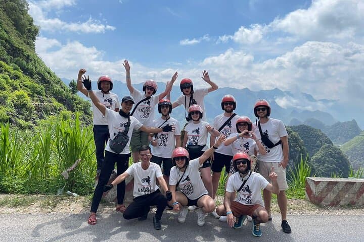
Helmets and basic protective gear (knee/elbow pads, raincoats) are included, but bringing your own high-quality helmet and gloves is recommended for comfort and fit.
Yes — the itinerary includes homestays and a 3-star hotel night in Dong Van; specifics vary by operator and are confirmed at booking.
The Dong Van Plateau has been a trade and cultural crossroads for ethnic minority groups for centuries; many villages preserve traditional crafts like Hmong linen weaving and Dao clay-house architecture.
Tourism here stresses narrow roads and fragile karst ecosystems; stick to trails, avoid littering and use local guides who support community-based homestays.
TripBestie Ha Giang operates guided outdoor trips and adventures with an emphasis on safety, stewardship, and memorable experiences.
You kick the sidestand and the valley exhales — engine ticks mixing with wind that has learned every hairpin. Over four days you trace roughly 350 km of northern Vietnam where roads climb, peel away and reveal raw limestone ridges, terraced fields and river canyons that seem to dare you to look down.
You kick the sidestand and the valley exhales — engine ticks mixing with wind that has learned every hairpin. Over four days you trace roughly 350 km of northern Vietnam where roads climb, peel away and reveal raw limestone ridges, terraced fields and river canyons that seem to dare you to look down.
This ride threads the Dong Van Karst Plateau, land uplifted and carved into jagged towers over millions of years. The route crosses Ma Pi Leng — one of Vietnam’s most dramatic passes — and drops to the narrow Nho Que river that has gouged Tu San Canyon, Southeast Asia’s dramatic gorge. Alongside geology, the region is a cultural crossroads: Hmong, Dao and Tay communities maintain woven linen, rammed-earth houses and periodic open-air markets that date back generations.
Expect compact towns, simple homestays and local food that refuels as effectively as the welcome. Practicalities matter: the loop is mostly paved but includes narrow shoulders, steep gradients and occasional gravel or dust; semi-automatic motorbikes are supplied, and an experienced guide handles logistics and local permits. Daily rides average 80–100 km with long photo stops and a boat transfer through the canyon.
Bring durable riding gear, plan for sudden weather swings, and allow extra daylight for mountain slowdowns. Hydrate, check brakes each morning, and carry cash for remote villages. End each day with a warm meal, a cold shower where available, and the kind of quiet that only high places can hand you — patient, watchful and somehow earned.