THE ADVENTURE COLLECTIVE® · Independent discovery and booking for outdoor travel

Ride a motorbike through 300+ km of dramatic karst ridges, high passes and river canyons on the Ha Giang Loop. This three‑day circuit combines UNESCO-listed geology, hill‑tribe homestays and the vertiginous Ma Pi Leng Pass.
Ride a motorbike through 300+ km of dramatic karst ridges, high passes and river canyons on the Ha Giang Loop. This three‑day circuit combines UNESCO-listed geology, hill‑tribe homestays and the vertiginous Ma Pi Leng Pass.
A cool dawn unravels over switchbacks as the convoy peels out of Ha Giang City—motorbikes growling, drivers scanning the ribs of limestone that rise like folded maps. The first day climbs through Bac Sum Pass and Heaven Gate, where twin peaks and terraced fields drop away beneath the road; by late afternoon the karst ridges around Dong Van flatten into a jagged horizon.
Verified experiences and guided adventures in the surrounding area.
Operated by Saparis Horizon Travel · Ha Giang, Ha Giang Province
A cool dawn unravels over switchbacks as the convoy peels out of Ha Giang City—motorbikes growling, drivers scanning the ribs of limestone that rise like folded maps. The first day climbs through Bac Sum Pass and Heaven Gate, where twin peaks and terraced fields drop away beneath the road; by late afternoon the karst ridges around Dong Van flatten into a jagged horizon.
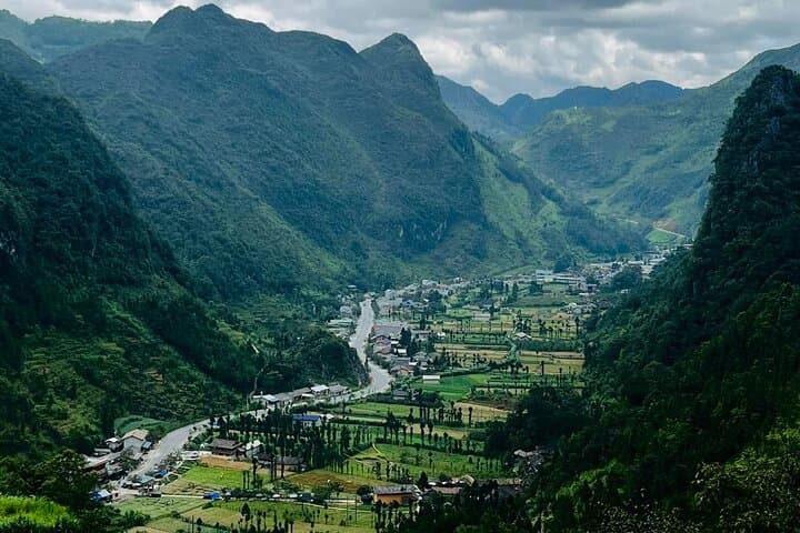
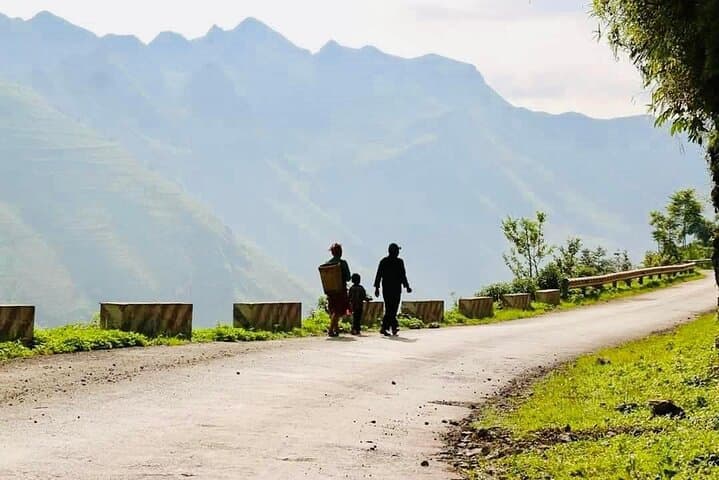
This loop threads human history into ancient geology. The Dong Van Karst Global Geopark holds limestone formations formed roughly 400 million years ago; hill-tribe villages—Hmong, Tay, Dao and others—have farmed these slopes for generations and kept visible cultural markers: woven textiles, clan houses and ritual sites. Ma Pi Leng Pass, reaching nearly 1,900–2,000 m, is the loop’s technical highlight, with sheer cliffs and a 360° overlook down to the Nho Que River gorge.
Expect roughly 300–350 km of riding across paved but narrow mountain roads, with short gravel sections and frequent hairpins; daily elevation changes of up to 1,500 m mean bright sun can turn into sharp wind or drizzle by afternoon.
Practical guide: travel light, use a local rider or experienced driver if you’re not confident on steep switchbacks, and plan fuel stops—petrol is available in towns but sparse between Meo Vac and Dong Van. Stay in family-run homestays to experience local food and textiles. Bring layered clothing, a reliable rain shell, sturdy shoes for short treks to viewpoints, and cash for small village purchases. Start early each day to avoid afternoon winds and give yourself daylight for the Ma Pi Leng outlook.
moderate.
3 days (approx. 72 hours).
Suitable for travelers in average fitness; requires ability to mount short hikes and handle prolonged sitting on a motorbike.
No—many tours include a motorbike and an 'easy rider' driver; you can also choose to ride yourself if experienced on mountain roads.
Ma Pi Leng sits around 1,900–2,000 m with steep cliffs; roads are narrow but paved—stay cautious, avoid the edge, and don’t stop in unsafe spots for photos.
Homestays are basic private rooms with local meals; expect simple bedding and limited hot water in many locations, but strong cultural exchange and home‑cooked food.
Late spring and early fall offer stable weather and blooming fields; summer can be hot with heavy rain, and winter is cold at altitude with possible fog.
The Dong Van plateau has long been home to multiple ethnic minority groups and was historically isolated by rugged terrain; the area is now recognized as a UNESCO Global Geopark for its geological and cultural values.
Travelers should stick to marked paths, limit plastic waste in villages, and support local homestays and artisans to help keep economic benefits in the region.
Saparis Horizon Travel operates guided outdoor trips and adventures with an emphasis on safety, stewardship, and memorable experiences.
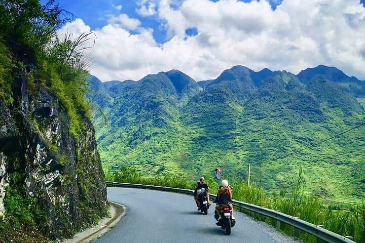
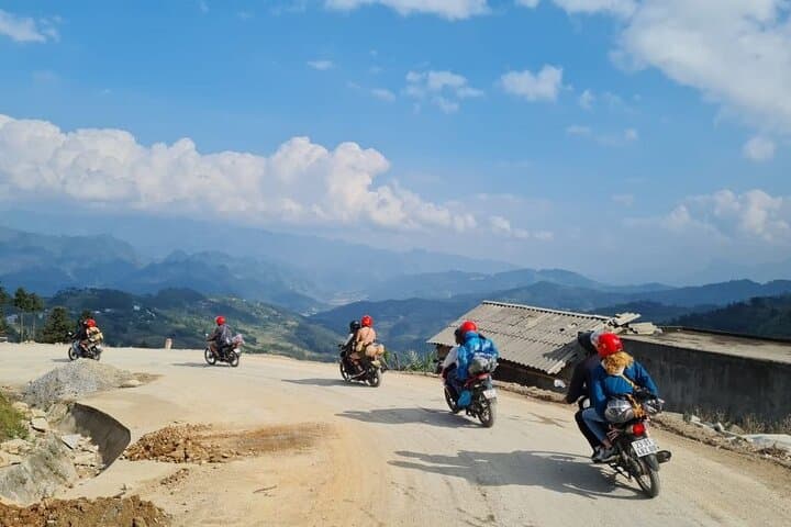
A cool dawn unravels over switchbacks as the convoy peels out of Ha Giang City—motorbikes growling, drivers scanning the ribs of limestone that rise like folded maps. The first day climbs through Bac Sum Pass and Heaven Gate, where twin peaks and terraced fields drop away beneath the road; by late afternoon the karst ridges around Dong Van flatten into a jagged horizon.
A cool dawn unravels over switchbacks as the convoy peels out of Ha Giang City—motorbikes growling, drivers scanning the ribs of limestone that rise like folded maps. The first day climbs through Bac Sum Pass and Heaven Gate, where twin peaks and terraced fields drop away beneath the road; by late afternoon the karst ridges around Dong Van flatten into a jagged horizon.
This loop threads human history into ancient geology. The Dong Van Karst Global Geopark holds limestone formations formed roughly 400 million years ago; hill-tribe villages—Hmong, Tay, Dao and others—have farmed these slopes for generations and kept visible cultural markers: woven textiles, clan houses and ritual sites. Ma Pi Leng Pass, reaching nearly 1,900–2,000 m, is the loop’s technical highlight, with sheer cliffs and a 360° overlook down to the Nho Que River gorge.
Expect roughly 300–350 km of riding across paved but narrow mountain roads, with short gravel sections and frequent hairpins; daily elevation changes of up to 1,500 m mean bright sun can turn into sharp wind or drizzle by afternoon.
Practical guide: travel light, use a local rider or experienced driver if you’re not confident on steep switchbacks, and plan fuel stops—petrol is available in towns but sparse between Meo Vac and Dong Van. Stay in family-run homestays to experience local food and textiles. Bring layered clothing, a reliable rain shell, sturdy shoes for short treks to viewpoints, and cash for small village purchases. Start early each day to avoid afternoon winds and give yourself daylight for the Ma Pi Leng outlook.