THE ADVENTURE COLLECTIVE® · Independent discovery and booking for outdoor travel

A compact two-day motorbike loop through Vietnam’s Ha Giang Province, this tour packs Ma Pi Leng Pass, Nho Que River canyons, and H’Mong cultural sites into a tight, ride-focused itinerary. Expect winding mountain roads, homestays, and dramatic photo stops.
A compact two-day motorbike loop through Vietnam’s Ha Giang Province, this tour packs Ma Pi Leng Pass, Nho Que River canyons, and H’Mong cultural sites into a tight, ride-focused itinerary. Expect winding mountain roads, homestays, and dramatic photo stops.
You wake before dawn in Hà Giang City to the soft clatter of engines and a sky that smells of damp stone. Riders assemble, helmets click, and the road immediately begins to climb — switchbacks carved into limestone, clouds skimming terraces, and the Nho Que River far below daring you to look down.
Verified experiences and guided adventures in the surrounding area.
Operated by Local Tours SAPA · Ha Giang City, Ha Giang Province
You wake before dawn in Hà Giang City to the soft clatter of engines and a sky that smells of damp stone. Riders assemble, helmets click, and the road immediately begins to climb — switchbacks carved into limestone, clouds skimming terraces, and the Nho Que River far below daring you to look down.
The Ha Giang Loop crosses the Dong Van Karst Plateau, a landscape forged from ancient marine sediments uplifted into jagged plateaus over millions of years. That geology frames a living cultural map: H'Mong villages, the Vuong family mansion with its French-Chinese architectural echoes, and Pao’s House, a cinematic snapshot of local life.
On day one the route threads Quan Ba’s Heaven Gate and Yen Minh’s cliffs; day two crests Ma Pi Leng Pass (roads rise to roughly 1,000–1,300 m) with views into Tu San canyon and a boat option on the Nho Que River. Expect roughly 250–350 km of riding over two days on narrow, paved mountain roads with sections of loose gravel and occasional potholes.
Practical guide: bring layered clothing for rapid temperature shifts, a good helmet and gloves, and at least one spare hour for delays and photography. Fuel stations are sparse—top up in Ha Giang, Yen Minh, and Meo Vac. Ride conservatively on descents and when visibility drops in mist; homestay dorms offer basic comfort, local meals, and a chance to support village economies.
This loop is equal parts technical riding and cultural immersion—prepare for long days in the saddle, dramatic light, and the steady rhythm of mountain roads.
moderate.
2 days.
Moderate cardiovascular fitness and endurance for multiple hours riding with short hikes; able to handle variable road surfaces.
Yes—riders should carry a valid license appropriate for the bike; guides may offer an 'easy rider' option where you ride pillion with a local driver.
September–November and March–May offer the clearest weather and more stable roads; summer brings heavy rain, and winter can be cold and foggy.
Plan for several hours in the saddle each day with stops—expect 4–8 hours of riding per day depending on stops and road conditions.
Typical inclusions are a modern motorbike with gas (or easy rider option), meals, and one night in a homestay/dorm; always confirm exact inclusions with the operator before booking.
The Dong Van Karst Plateau is a UNESCO Global Geopark whose rugged plateaus have supported H’Mong, Dao and other ethnic communities for centuries; historic trade routes cross these passes.
Tourism pressure is growing; stick to marked roads, avoid single-use plastics, and favor local homestays to support community-based conservation.
Local Tours SAPA operates guided outdoor trips and adventures with an emphasis on safety, stewardship, and memorable experiences.
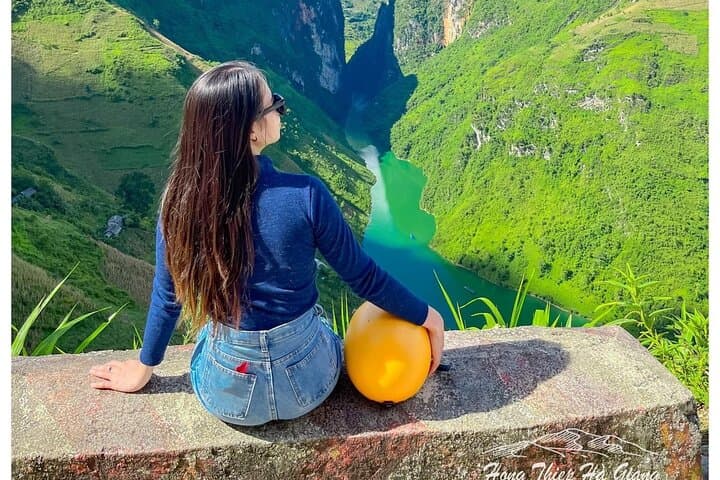
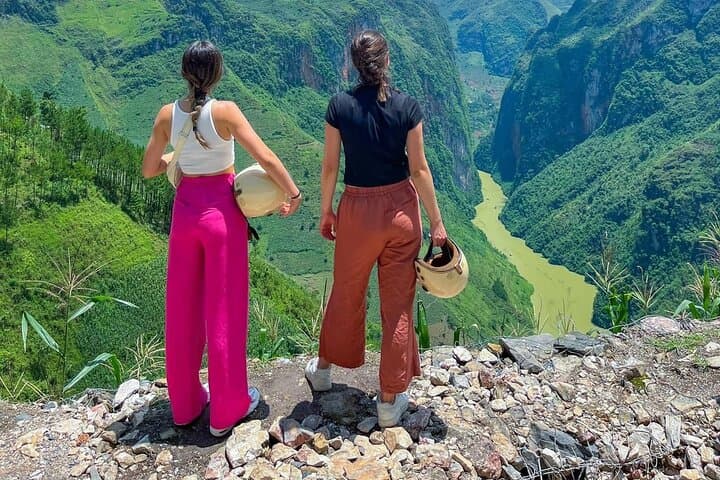
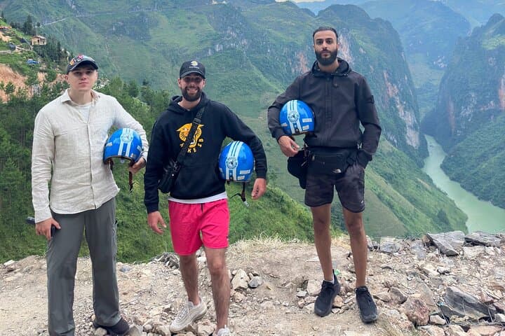
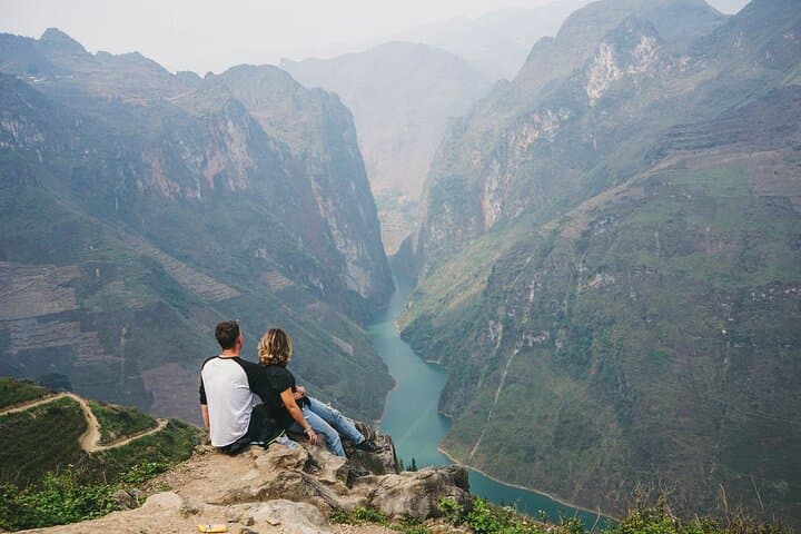
You wake before dawn in Hà Giang City to the soft clatter of engines and a sky that smells of damp stone. Riders assemble, helmets click, and the road immediately begins to climb — switchbacks carved into limestone, clouds skimming terraces, and the Nho Que River far below daring you to look down.
You wake before dawn in Hà Giang City to the soft clatter of engines and a sky that smells of damp stone. Riders assemble, helmets click, and the road immediately begins to climb — switchbacks carved into limestone, clouds skimming terraces, and the Nho Que River far below daring you to look down.
The Ha Giang Loop crosses the Dong Van Karst Plateau, a landscape forged from ancient marine sediments uplifted into jagged plateaus over millions of years. That geology frames a living cultural map: H'Mong villages, the Vuong family mansion with its French-Chinese architectural echoes, and Pao’s House, a cinematic snapshot of local life.
On day one the route threads Quan Ba’s Heaven Gate and Yen Minh’s cliffs; day two crests Ma Pi Leng Pass (roads rise to roughly 1,000–1,300 m) with views into Tu San canyon and a boat option on the Nho Que River. Expect roughly 250–350 km of riding over two days on narrow, paved mountain roads with sections of loose gravel and occasional potholes.
Practical guide: bring layered clothing for rapid temperature shifts, a good helmet and gloves, and at least one spare hour for delays and photography. Fuel stations are sparse—top up in Ha Giang, Yen Minh, and Meo Vac. Ride conservatively on descents and when visibility drops in mist; homestay dorms offer basic comfort, local meals, and a chance to support village economies.
This loop is equal parts technical riding and cultural immersion—prepare for long days in the saddle, dramatic light, and the steady rhythm of mountain roads.