THE ADVENTURE COLLECTIVE® · Independent discovery and booking for outdoor travel

A compact, two-day circuit from Ha Giang City that threads dramatic passes, the Dong Van Karst Plateau and the Ma Pi Leng gorge. Expect steep climbs, cultural markets and river canyons.
A compact, two-day circuit from Ha Giang City that threads dramatic passes, the Dong Van Karst Plateau and the Ma Pi Leng gorge. Expect steep climbs, cultural markets and river canyons.
The road narrows, the engine hums, and the mountains seem to lean in to watch you pass — this is the Ha Giang Loop. Beginning in Ha Giang city, the two-day loop pushes into the Dong Van Karst Plateau where steep passes and sculpted limestone cliffs define the horizon. Ma Pi Leng’s rim looks down into a canyon 800 meters deep; below, the Nho Que River braids and dares you to measure its force.
Verified experiences and guided adventures in the surrounding area.
Operated by Local Tours Ha Giang · Ha Giang City, Ha Giang
The road narrows, the engine hums, and the mountains seem to lean in to watch you pass — this is the Ha Giang Loop. Beginning in Ha Giang city, the two-day loop pushes into the Dong Van Karst Plateau where steep passes and sculpted limestone cliffs define the horizon. Ma Pi Leng’s rim looks down into a canyon 800 meters deep; below, the Nho Que River braids and dares you to measure its force.
Geology here is bold: ancient carbonate rock carved into towers, canyons and terraced fields by millennia of rain and river. Culturally the province is a living mosaic — H'mong, Dzao and Tay communities maintain brocade weaving, hilltop markets and seasonal rituals that punctuate travel days. Dong Van’s weekly market is a kinetic slice of local life, rich with color and barter.
Practicalities matter on this route. Expect roughly 250–320 km of winding mountain roads over two days, with exposed passes that can climb to around 1,200–1,900 m. Roads range from well-paved highways to narrow switchbacks; a local driver and guide are part of most tours for a reason. Weather shifts fast — mornings can be cold, afternoons sunny and evenings foggy.
Bring layered clothing, sturdy shoes and hydration; carry cash for small village purchases and optional boat trips on the Nho Que. Respect border-area permits and local customs when photographing people and homes. For travelers who want cinematic vistas with compact logistics, the Ha Giang Loop delivers intense scenery, authentic markets and a clear sense of place in just 48 hours.
moderate.
2 days.
Moderate fitness for long vehicle days, short walks, and optional boat/motorbike segments; able to handle stairs and uneven surfaces.
Expect 6–8 hours of driving spread over two days with multiple stops for viewpoints, villages and meals.
Yes — the tour welcomes solo travelers; vehicles and guides accommodate singles, couples and small groups.
Foreign visitors may need permits to enter some border or restricted zones; the tour typically handles these arrangements.
Some operators offer motorbike options for parts of the loop, but this requires prior experience and may incur additional fees.
The Dong Van Karst Plateau has been a cultural crossroads for hill tribes for centuries and is recognized as a geopark for its unique karst landscape.
Travelers should avoid disturbing terraced fields and local farms; support village economies by buying local goods and disposing of waste responsibly.
Local Tours Ha Giang operates guided outdoor trips and adventures with an emphasis on safety, stewardship, and memorable experiences.
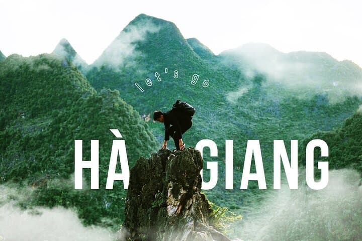
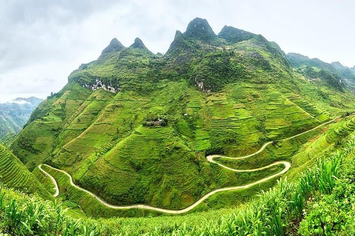
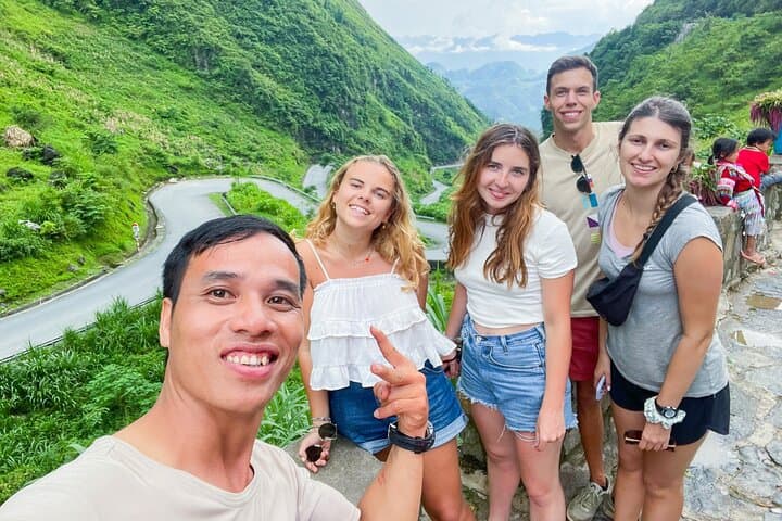
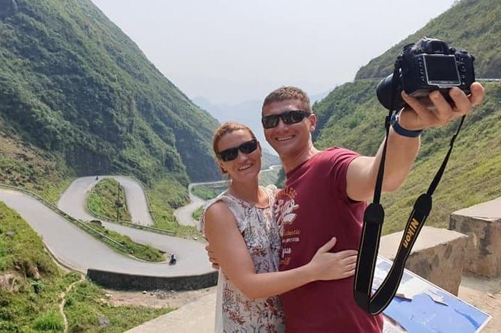
The road narrows, the engine hums, and the mountains seem to lean in to watch you pass — this is the Ha Giang Loop. Beginning in Ha Giang city, the two-day loop pushes into the Dong Van Karst Plateau where steep passes and sculpted limestone cliffs define the horizon. Ma Pi Leng’s rim looks down into a canyon 800 meters deep; below, the Nho Que River braids and dares you to measure its force.
The road narrows, the engine hums, and the mountains seem to lean in to watch you pass — this is the Ha Giang Loop. Beginning in Ha Giang city, the two-day loop pushes into the Dong Van Karst Plateau where steep passes and sculpted limestone cliffs define the horizon. Ma Pi Leng’s rim looks down into a canyon 800 meters deep; below, the Nho Que River braids and dares you to measure its force.
Geology here is bold: ancient carbonate rock carved into towers, canyons and terraced fields by millennia of rain and river. Culturally the province is a living mosaic — H'mong, Dzao and Tay communities maintain brocade weaving, hilltop markets and seasonal rituals that punctuate travel days. Dong Van’s weekly market is a kinetic slice of local life, rich with color and barter.
Practicalities matter on this route. Expect roughly 250–320 km of winding mountain roads over two days, with exposed passes that can climb to around 1,200–1,900 m. Roads range from well-paved highways to narrow switchbacks; a local driver and guide are part of most tours for a reason. Weather shifts fast — mornings can be cold, afternoons sunny and evenings foggy.
Bring layered clothing, sturdy shoes and hydration; carry cash for small village purchases and optional boat trips on the Nho Que. Respect border-area permits and local customs when photographing people and homes. For travelers who want cinematic vistas with compact logistics, the Ha Giang Loop delivers intense scenery, authentic markets and a clear sense of place in just 48 hours.