THE ADVENTURE COLLECTIVE® · Independent discovery and booking for outdoor travel

Ride the Ha Giang loop from Hanoi across the Dong Van Karst Plateau to Ma Pi Leng Pass and the Nho Que River. This three-day tour mixes motorbike sections, short treks and homestays for a compact highland experience.
Ride the Ha Giang loop from Hanoi across the Dong Van Karst Plateau to Ma Pi Leng Pass and the Nho Que River. This three-day tour mixes motorbike sections, short treks and homestays for a compact highland experience.
By first light the road to Ha Giang unspools beneath a motorbike’s hum—hairpin after hairpin, cliffs diving toward the Nho Que River while the Ma Pi Leng Pass rises like a carved wall above the valley. Green rice terraces cling to steep slopes and wind pushes at you, daring you to lean into the next bend.
Verified experiences and guided adventures in the surrounding area.
Operated by Before2 · Ha Giang, Ha Giang Province
By first light the road to Ha Giang unspools beneath a motorbike’s hum—hairpin after hairpin, cliffs diving toward the Nho Que River while the Ma Pi Leng Pass rises like a carved wall above the valley. Green rice terraces cling to steep slopes and wind pushes at you, daring you to lean into the next bend.
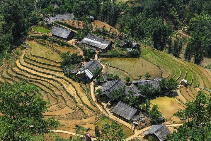
The Dong Van Karst Plateau is a map written in stone: millions of years of limestone erosion have carved towers, ridges and narrow canyons now protected as a UNESCO Global Geopark. Hmong, Dao and Tay communities maintain hill-side farming, intricate textiles and stone-built homesteads—culture and geology here are inseparable, visible at markets and in the silhouette of the villages.
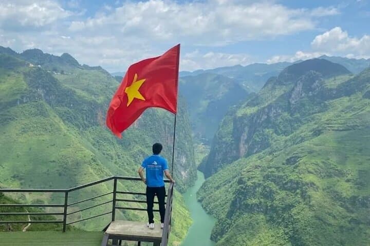
This three-day loop combines long transfers (overnight sleeper bus), guided motorbike sections (or an easy rider), a Sky Path trek along Ma Pi Leng for panoramic views, a kayak or short boat trip on the Nho Que, and homestays in Du Gia and Dong Van. Expect roads reaching near 2,000 m, short rocky hikes, and narrow, sometimes unpaved switchbacks.
Practical guidance: start early, travel light, and layer for large temperature swings between dawn and midday. Roads can be wet and visibility limited after rain—use an experienced rider if you’re not confident on a motorbike. Carry cash, a power bank and simple first-aid items; mobile signal is intermittent. Pace yourself on day one to acclimatize and follow your guide’s local knowledge for the safest, most rewarding viewpoints.
moderate.
3 days.
Moderate fitness: able to handle several hours of riding and short hikes on uneven terrain; comfortable with stairs and slopes.
No — the tour provides an easy rider option and full transfers; riders are available for those who want to drive themselves.
Mix of basic homestays and small mountain hotels; expect simple facilities, shared bathrooms in some homestays, and hearty local meals.
The pass approaches roughly 1,900–2,000 m; most travelers won’t have significant altitude issues but take it easy if you feel breathless and stay hydrated.
Yes — short kayak or boat trips on the Nho Que are included; water level and availability depend on season and weather.
Dong Van’s karst plateau has been a strategic highland crossroads for centuries and is now designated a UNESCO Global Geopark for its unique geology.
The karst environment is sensitive—stick to trails, avoid littering, support local homestays and buy locally made crafts to help communities.
Before2 operates guided outdoor trips and adventures with an emphasis on safety, stewardship, and memorable experiences.
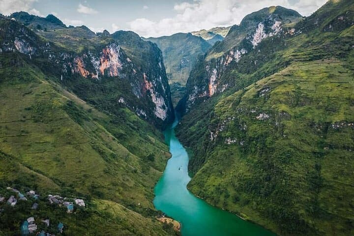
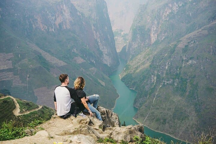
By first light the road to Ha Giang unspools beneath a motorbike’s hum—hairpin after hairpin, cliffs diving toward the Nho Que River while the Ma Pi Leng Pass rises like a carved wall above the valley. Green rice terraces cling to steep slopes and wind pushes at you, daring you to lean into the next bend.
By first light the road to Ha Giang unspools beneath a motorbike’s hum—hairpin after hairpin, cliffs diving toward the Nho Que River while the Ma Pi Leng Pass rises like a carved wall above the valley. Green rice terraces cling to steep slopes and wind pushes at you, daring you to lean into the next bend.
The Dong Van Karst Plateau is a map written in stone: millions of years of limestone erosion have carved towers, ridges and narrow canyons now protected as a UNESCO Global Geopark. Hmong, Dao and Tay communities maintain hill-side farming, intricate textiles and stone-built homesteads—culture and geology here are inseparable, visible at markets and in the silhouette of the villages.
This three-day loop combines long transfers (overnight sleeper bus), guided motorbike sections (or an easy rider), a Sky Path trek along Ma Pi Leng for panoramic views, a kayak or short boat trip on the Nho Que, and homestays in Du Gia and Dong Van. Expect roads reaching near 2,000 m, short rocky hikes, and narrow, sometimes unpaved switchbacks.
Practical guidance: start early, travel light, and layer for large temperature swings between dawn and midday. Roads can be wet and visibility limited after rain—use an experienced rider if you’re not confident on a motorbike. Carry cash, a power bank and simple first-aid items; mobile signal is intermittent. Pace yourself on day one to acclimatize and follow your guide’s local knowledge for the safest, most rewarding viewpoints.