THE ADVENTURE COLLECTIVE® · Independent discovery and booking for outdoor travel

Spend a full day hiking among Bulgaria’s iconic glacial basins on a guided trek from Sofia. This accessible alpine route visits all seven Rila Lakes, offering dramatic cirques, granite moraine, and sweeping high-mountain views.
Spend a full day hiking among Bulgaria’s iconic glacial basins on a guided trek from Sofia. This accessible alpine route visits all seven Rila Lakes, offering dramatic cirques, granite moraine, and sweeping high-mountain views.
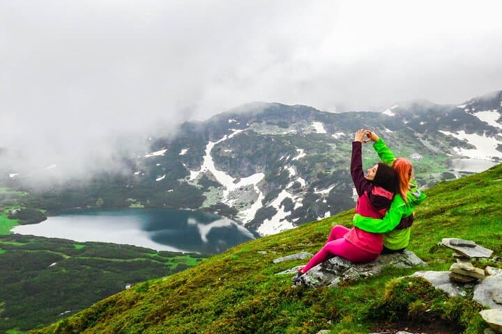
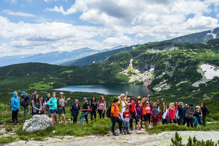
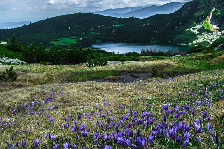
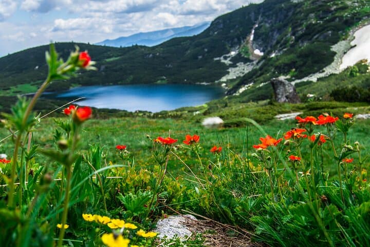
A cold wind rolls down from the cirque as the group steps onto the stony trail — the first of seven high-mountain basins carved by ice. The path climbs through wind-bent dwarf pines, opens onto alpine meadows, and then narrows into a moraine saddle where the water below glints like glass. At nearly 2,535 m, the highest lake, Salzata (the Tear), looks out over the bowl; lower basins collect runoff and feed the Dzherman River, which dares you to follow its course down the mountain.
Verified experiences and guided adventures in the surrounding area.
Operated by Green Valleys Tours · Sapareva Banya, Kyustendil Province
A cold wind rolls down from the cirque as the group steps onto the stony trail — the first of seven high-mountain basins carved by ice. The path climbs through wind-bent dwarf pines, opens onto alpine meadows, and then narrows into a moraine saddle where the water below glints like glass. At nearly 2,535 m, the highest lake, Salzata (the Tear), looks out over the bowl; lower basins collect runoff and feed the Dzherman River, which dares you to follow its course down the mountain.
The Seven Rila Lakes are glacially formed, each named for a characteristic: Okoto (the Eye), Babreka (the Kidney), Bliznaka (the Twin), Trilistnika (the Trefoil), Ribnoto Ezero (the Fish) and Dolnoto Ezero (the Lower Lake). Rila’s geology is dominated by granite and glacial deposits; the park preserves old-growth spruce and endemic alpine flora. Thracian and later Bulgarian communities have long regarded these waters as sources of life and legend—Rila itself derives from a word meaning abundant water.
Practically, expect a full day: tours typically leave Sofia and drive ~100 km to the trailhead, with a guided hike portion of several hours on uneven, rocky trail and short steep sections. Altitude reaches roughly 2,100–2,535 m, so layers, sun protection and steady footwear matter. The route is accessible to moderately fit hikers; guides often allow a measured pace with time for photos and breaks.
Plan for early starts, variable mountain weather, and limited shade. Carry water, snacks, and a light waterproof; leave no trace and stick to marked trails to protect fragile alpine vegetation.
moderate.
9 hours (full-day).
Moderately fit: comfortable with sustained uphill walking and uneven terrain for several hours
The trailhead area is roughly 100 km (about 1.5–2 hours) south of Sofia depending on traffic and starting point.
Yes, if you have basic fitness; the guided tour paces the group and includes time for rests, but expect uneven ground and some steep sections.
National park rules apply; organized tours usually include any necessary entrance fees—confirm with the operator before booking.
You may spot alpine birds, chamois, and smaller mammals; larger mammals like brown bear or wolf exist in the park but sightings near the lakes are uncommon.
Rila National Park protects landscapes long valued for their water resources; monastic and Thracian traditions in the region have tied local culture to mountain springs.
Stick to marked trails and pack out waste—the alpine vegetation is slow-growing and vulnerable; guided groups help limit dispersed impact.
Green Valleys Tours operates guided outdoor trips and adventures with an emphasis on safety, stewardship, and memorable experiences.
A cold wind rolls down from the cirque as the group steps onto the stony trail — the first of seven high-mountain basins carved by ice. The path climbs through wind-bent dwarf pines, opens onto alpine meadows, and then narrows into a moraine saddle where the water below glints like glass. At nearly 2,535 m, the highest lake, Salzata (the Tear), looks out over the bowl; lower basins collect runoff and feed the Dzherman River, which dares you to follow its course down the mountain.
A cold wind rolls down from the cirque as the group steps onto the stony trail — the first of seven high-mountain basins carved by ice. The path climbs through wind-bent dwarf pines, opens onto alpine meadows, and then narrows into a moraine saddle where the water below glints like glass. At nearly 2,535 m, the highest lake, Salzata (the Tear), looks out over the bowl; lower basins collect runoff and feed the Dzherman River, which dares you to follow its course down the mountain.
The Seven Rila Lakes are glacially formed, each named for a characteristic: Okoto (the Eye), Babreka (the Kidney), Bliznaka (the Twin), Trilistnika (the Trefoil), Ribnoto Ezero (the Fish) and Dolnoto Ezero (the Lower Lake). Rila’s geology is dominated by granite and glacial deposits; the park preserves old-growth spruce and endemic alpine flora. Thracian and later Bulgarian communities have long regarded these waters as sources of life and legend—Rila itself derives from a word meaning abundant water.
Practically, expect a full day: tours typically leave Sofia and drive ~100 km to the trailhead, with a guided hike portion of several hours on uneven, rocky trail and short steep sections. Altitude reaches roughly 2,100–2,535 m, so layers, sun protection and steady footwear matter. The route is accessible to moderately fit hikers; guides often allow a measured pace with time for photos and breaks.
Plan for early starts, variable mountain weather, and limited shade. Carry water, snacks, and a light waterproof; leave no trace and stick to marked trails to protect fragile alpine vegetation.