THE ADVENTURE COLLECTIVE® · Independent discovery and booking for outdoor travel

Walk the classic Grütschalp–Mürren ridge above Lauterbrunnen, then feel the raw power of Trümmelbach’s glacier-fed falls inside the mountain. Expect broad alpine views, easy-to-moderate trail, and glacier-carved scenery.
Walk the classic Grütschalp–Mürren ridge above Lauterbrunnen, then feel the raw power of Trümmelbach’s glacier-fed falls inside the mountain. Expect broad alpine views, easy-to-moderate trail, and glacier-carved scenery.
A cold wind moves through the narrow gorge as you step from the gondola at Grütschalp, alpine meadows opening to the east and sheer cliffs plunging toward the valley where 72 waterfalls thread the rock. The trail climbs gently for the first half hour, then levels into a broad ridge walk with constant views across the Lauterbrunnen basin to the Jungfrau massif.
Verified experiences and guided adventures in the surrounding area.
Operated by Local Guide · Lauterbrunnen, Bern
A cold wind moves through the narrow gorge as you step from the gondola at Grütschalp, alpine meadows opening to the east and sheer cliffs plunging toward the valley where 72 waterfalls thread the rock. The trail climbs gently for the first half hour, then levels into a broad ridge walk with constant views across the Lauterbrunnen basin to the Jungfrau massif.
This route follows a path shaped by glaciers and centuries of pastoral life — you pass stone walls, cow pastures, and hamlets that grew where meltwater and trade routes met. Geologically the valley is a glacial U, carved by ice and still being sculpted by the torrent that becomes the Trümmelbach, the subterranean cataract that channels summer melt from the Eiger, Mönch and Jungfrau and can reach 20,000 liters per second.
Culturally the walk threads traditional Bernese alpine villages: Mürren retains wooden chalets and a slow-season rhythm. The Trümmelbach Falls offer an up-close lesson in erosive power via tunnels and walkways inside the mountain.
Practical guidance: expect roughly 4–5 km of trail between Grütschalp and Mürren with about 150–200 m cumulative ascent; surface is wide, well-maintained forest and alpine track. Start early to avoid afternoon crowds and to catch clearer light on the north faces. Bring waterproof shell, sturdy boots, 1–2 liters of water, and a charged camera — weather changes fast in the high valley. If using public transport, factor in short gondola and local train transfers; guided options commonly include Interlaken pickup.
moderate.
5–6 hours.
Comfortable for hikers who regularly do multi-hour walks with some sustained uphill; basic endurance required.
The walking section is about 4–5 km and typically takes 1.5–2 hours depending on pace and photo stops.
Yes — Trümmelbach charges an admission fee and limits capacity; check current hours and buy on-site or online when available.
Yes — it’s suitable for hikers with moderate fitness; the trail is well-maintained with only a short sustained climb early on.
Operators commonly cancel in poor conditions; dress in layers and confirm transport times — heavy rain can close the falls’ walkways for safety.
Lauterbrunnen Valley has long been a transit corridor and summer pastureland; its villages grew where glacial melt and alpine routes converged, shaping local farming and tourism traditions.
High alpine habitats here are sensitive to foot traffic and changing snow patterns; stick to marked trails, respect grazing land, and minimize single-use plastics.
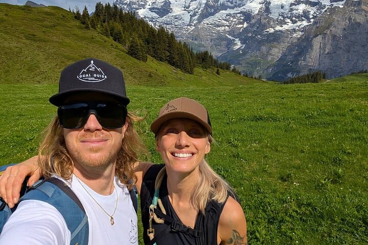
Local Guide operates guided outdoor trips and adventures with an emphasis on safety, stewardship, and memorable experiences.
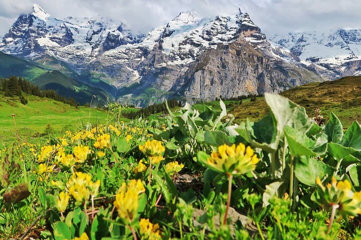
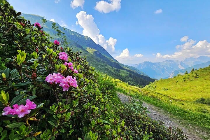
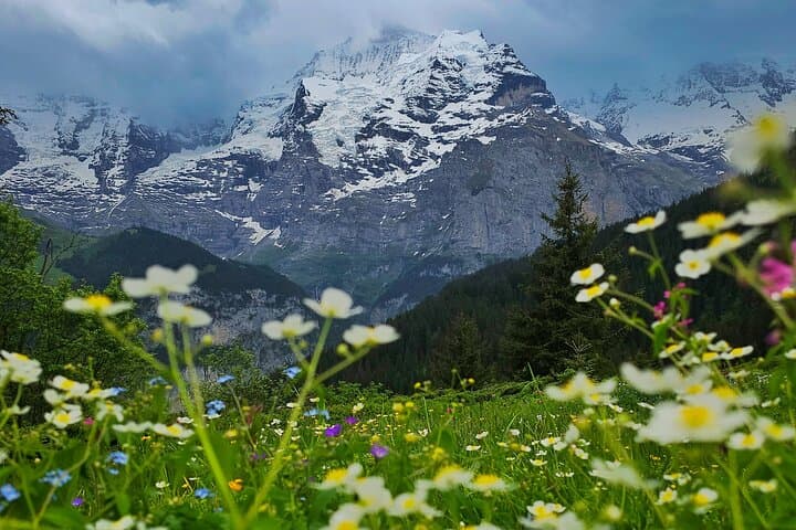
A cold wind moves through the narrow gorge as you step from the gondola at Grütschalp, alpine meadows opening to the east and sheer cliffs plunging toward the valley where 72 waterfalls thread the rock. The trail climbs gently for the first half hour, then levels into a broad ridge walk with constant views across the Lauterbrunnen basin to the Jungfrau massif.
A cold wind moves through the narrow gorge as you step from the gondola at Grütschalp, alpine meadows opening to the east and sheer cliffs plunging toward the valley where 72 waterfalls thread the rock. The trail climbs gently for the first half hour, then levels into a broad ridge walk with constant views across the Lauterbrunnen basin to the Jungfrau massif.
This route follows a path shaped by glaciers and centuries of pastoral life — you pass stone walls, cow pastures, and hamlets that grew where meltwater and trade routes met. Geologically the valley is a glacial U, carved by ice and still being sculpted by the torrent that becomes the Trümmelbach, the subterranean cataract that channels summer melt from the Eiger, Mönch and Jungfrau and can reach 20,000 liters per second.
Culturally the walk threads traditional Bernese alpine villages: Mürren retains wooden chalets and a slow-season rhythm. The Trümmelbach Falls offer an up-close lesson in erosive power via tunnels and walkways inside the mountain.
Practical guidance: expect roughly 4–5 km of trail between Grütschalp and Mürren with about 150–200 m cumulative ascent; surface is wide, well-maintained forest and alpine track. Start early to avoid afternoon crowds and to catch clearer light on the north faces. Bring waterproof shell, sturdy boots, 1–2 liters of water, and a charged camera — weather changes fast in the high valley. If using public transport, factor in short gondola and local train transfers; guided options commonly include Interlaken pickup.