THE ADVENTURE COLLECTIVE® · Independent discovery and booking for outdoor travel

Stand on the Geiranger Skywalk and look down into a UNESCO fjord, then wind the legendary Eagle Road with its 11 hairpins for sweeping views and mountain-lake stillness. This 3–3.5 hour drive-and-view experience mixes easy walks with high-altitude panoramas—ideal for photographers and outdoor travelers.
Stand on the Geiranger Skywalk and look down into a UNESCO fjord, then wind the legendary Eagle Road with its 11 hairpins for sweeping views and mountain-lake stillness. This 3–3.5 hour drive-and-view experience mixes easy walks with high-altitude panoramas—ideal for photographers and outdoor travelers.
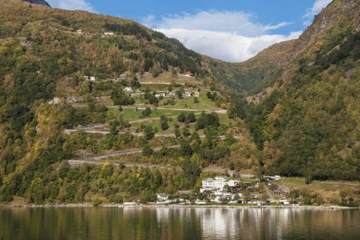
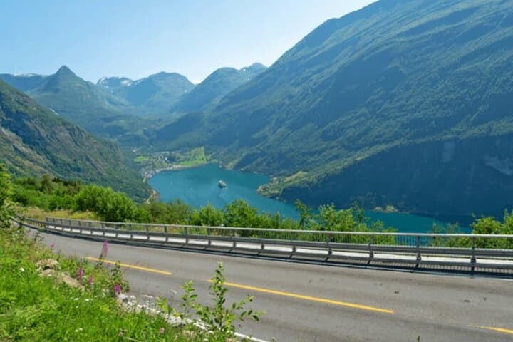
A cold wind cuts across the plateau as you step onto the Geiranger Skywalk—air so clear the fjord below seems to have been carved out yesterday. Glass and steel frame a sweeping view: a deep V of water threaded with tiny boats, cliffs scored by waterfalls, and roads that cling to the mountains like stitching. The hairpin sprawl of Eagle Road drops away below, each bend revealing another postcard-perfect angle.
Verified experiences and guided adventures in the surrounding area.
Operated by Wow A Tour · Geiranger, Møre og Romsdal
A cold wind cuts across the plateau as you step onto the Geiranger Skywalk—air so clear the fjord below seems to have been carved out yesterday. Glass and steel frame a sweeping view: a deep V of water threaded with tiny boats, cliffs scored by waterfalls, and roads that cling to the mountains like stitching. The hairpin sprawl of Eagle Road drops away below, each bend revealing another postcard-perfect angle.
This landscape was shaped by repeated glaciation during the last Ice Age; the steep-sided Geirangerfjord is now a UNESCO-listed fjord dotted with historic mountain farms that once depended on perilous footpaths and avalanches. Geology here is raw—gneiss and schist folded and exposed, with lakes like Djupvatnet sitting in basins left by retreating ice.
Culturally, the area balances tourism with tight-knit local life: small guesthouses in Geiranger village, seasonal farm tourism, and conservation rules to protect fragile alpine vegetation. Expect short, easy walks at viewpoints, photo stops at Flydalsjuvet and Djupvatnet, and a dramatic descent along 11 hairpin bends on Eagle Road.
Practical guidance: the tour runs about 3–3.5 hours and includes roadside stops and brief boardwalk walks—good for most fitness levels but challenging in winter conditions. Dress in layers, bring windproof rain protection, and plan for variable visibility; Mount Dalsnibba can be closed in spring due to snow. Allow time for photos and slow driving on narrow mountain roads. Respect closures and follow guides’ instructions to minimize erosion and disturbance—these viewpoints are fragile and best enjoyed responsibly.
easy.
3–3.5 hours.
Suitable for travelers in basic physical condition who can manage short, gentle walks and boarding a coach.
Access is seasonal—snow can close the road in spring and winter; operators may substitute alternate viewpoints when the summit is closed.
The tour involves short, easy walks to viewpoints and mostly seated travel; it is suitable for most fitness levels, including families with children.
Basic facilities are available in Geiranger village and at some summit sites in summer, but bring water and snacks for longer stretches.
You may spot mountain goats on the slopes and seabirds near the fjord; sightings are common but never guaranteed.
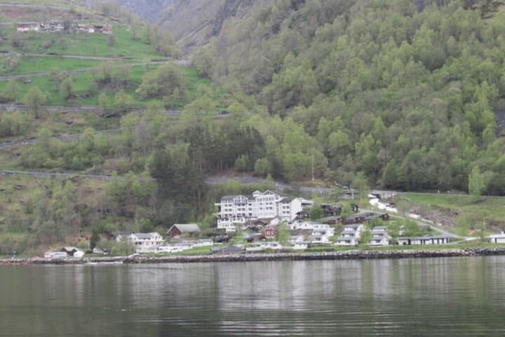
Geirangerfjord was carved by glaciers and later became a summer farming area; many abandoned summer farms are visible on steep slopes, evidence of historic mountain agriculture.
Visitor numbers and vehicle traffic are managed seasonally to reduce erosion; follow marked paths and avoid trampling fragile alpine plants to protect the landscape.
Wow A Tour operates guided outdoor trips and adventures with an emphasis on safety, stewardship, and memorable experiences.
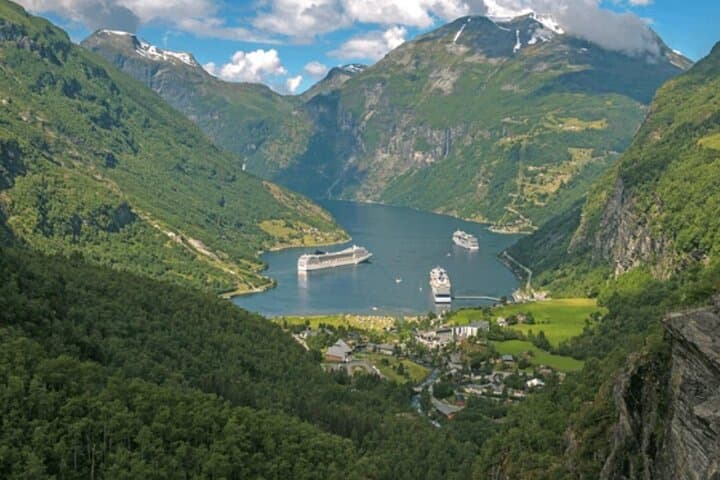
A cold wind cuts across the plateau as you step onto the Geiranger Skywalk—air so clear the fjord below seems to have been carved out yesterday. Glass and steel frame a sweeping view: a deep V of water threaded with tiny boats, cliffs scored by waterfalls, and roads that cling to the mountains like stitching. The hairpin sprawl of Eagle Road drops away below, each bend revealing another postcard-perfect angle.
A cold wind cuts across the plateau as you step onto the Geiranger Skywalk—air so clear the fjord below seems to have been carved out yesterday. Glass and steel frame a sweeping view: a deep V of water threaded with tiny boats, cliffs scored by waterfalls, and roads that cling to the mountains like stitching. The hairpin sprawl of Eagle Road drops away below, each bend revealing another postcard-perfect angle.
This landscape was shaped by repeated glaciation during the last Ice Age; the steep-sided Geirangerfjord is now a UNESCO-listed fjord dotted with historic mountain farms that once depended on perilous footpaths and avalanches. Geology here is raw—gneiss and schist folded and exposed, with lakes like Djupvatnet sitting in basins left by retreating ice.
Culturally, the area balances tourism with tight-knit local life: small guesthouses in Geiranger village, seasonal farm tourism, and conservation rules to protect fragile alpine vegetation. Expect short, easy walks at viewpoints, photo stops at Flydalsjuvet and Djupvatnet, and a dramatic descent along 11 hairpin bends on Eagle Road.
Practical guidance: the tour runs about 3–3.5 hours and includes roadside stops and brief boardwalk walks—good for most fitness levels but challenging in winter conditions. Dress in layers, bring windproof rain protection, and plan for variable visibility; Mount Dalsnibba can be closed in spring due to snow. Allow time for photos and slow driving on narrow mountain roads. Respect closures and follow guides’ instructions to minimize erosion and disturbance—these viewpoints are fragile and best enjoyed responsibly.