THE ADVENTURE COLLECTIVE® · Independent discovery and booking for outdoor travel

A full-day hike to Fuya-Fuya and the Mojanda crater lakes combines dramatic Andean panoramas with a visit to Otavalo’s famous market. Expect 4–6 hours on trail at high altitude and an easy cultural detour after the descent.
A full-day hike to Fuya-Fuya and the Mojanda crater lakes combines dramatic Andean panoramas with a visit to Otavalo’s famous market. Expect 4–6 hours on trail at high altitude and an easy cultural detour after the descent.
The trail opens on a pale high plain where wind shapes grass into waves and the Mojanda crater lakes sit like dark mirrors below the summit. You step out of the van at roughly 3,700–3,700 m and the Andes spread in every direction: snow-capped cones, cultivated terraces, and small indigenous settlements clustered against volcanic slopes.
Verified experiences and guided adventures in the surrounding area.
Operated by Ecuador Best Tours · Otavalo, Imbabura
The trail opens on a pale high plain where wind shapes grass into waves and the Mojanda crater lakes sit like dark mirrors below the summit. You step out of the van at roughly 3,700–3,700 m and the Andes spread in every direction: snow-capped cones, cultivated terraces, and small indigenous settlements clustered against volcanic slopes.
Fuya-Fuya (4,275 m) rises from ancient volcanic geology tied to the Northern Volcanic Zone; its crater and the nearby Mojanda lakes are remnants of explosive eruptions and glacial sculpting. The area belongs to Imbabura province and sits within páramo — a high-elevation grassland with unique plants and hardy birds. Local Kichwa and Otavalo communities have long traded textiles and maintained market traditions in nearby Otavalo, where the day often ends among colorful stalls and handwoven goods.
Practically, the hike is steady uphill for 2–3 hours with loose volcanic scree and grassy slopes; expect thin air and big views rather than technical scrambling. Descent tests knees on steeper, gritty sections. Guides typically include box lunch, private transport from Quito, and a post-hike stop at Otavalo market. Bring layers, solid boots, water, and sunscreen — weather shifts quickly above 4,000 m.
Timings: allow a full day for 2 hours each way driving, 4–6 hours of hiking, and market time. Watch for altitude symptoms, hike conservatively, and use your guide’s local knowledge to choose viewing points and safe lines on steep slopes. The reward is broad, high-country panoramas that feel earned: lakes, volcanoes, and a living highland culture waiting at the trailhead and in town.
challenging.
5–6 hours hiking; full day 9 hours with transport.
Good cardiovascular fitness and some hill experience; altitude tolerance required
The hike is non-technical but challenging because of sustained uphill sections and high altitude; expect 2–3 hours to the summit for fit hikers.
Possibly—symptoms vary; acclimate in Quito or Otavalo, hydrate, eat, and descend immediately if you feel severe headache, nausea, or dizziness.
Yes—most tours include private transport from Quito with about 2 hours each way depending on traffic and road conditions.
Yes—the itinerary usually allows time at Otavalo market; bring cash and allow 1–2 hours to browse stalls.
The region has long been inhabited by Kichwa and Otavalo communities; Otavalo’s market is a centuries-old trading hub for textiles and agricultural goods.
Páramo ecosystems are fragile; stick to trails, avoid collecting plants, and pack out trash to protect water sources and endemic species.
Ecuador Best Tours operates guided outdoor trips and adventures with an emphasis on safety, stewardship, and memorable experiences.
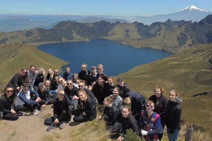
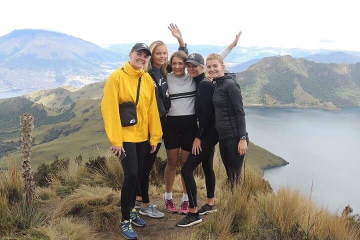
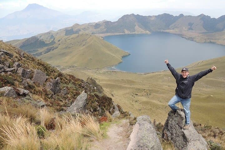
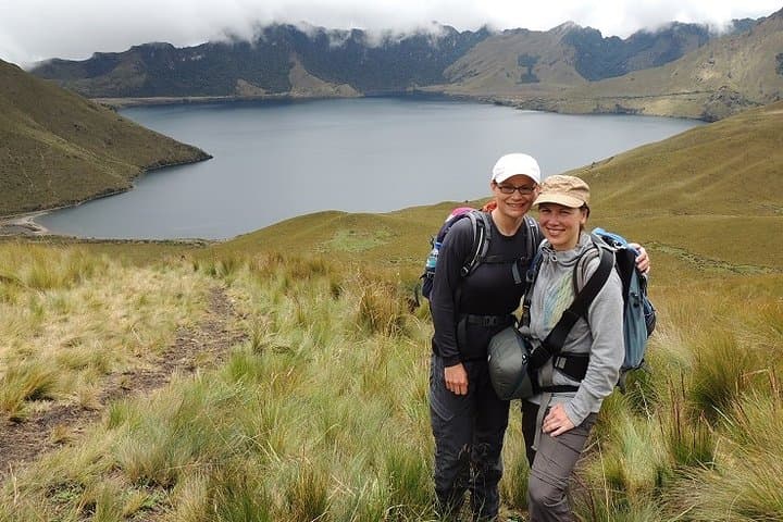
The trail opens on a pale high plain where wind shapes grass into waves and the Mojanda crater lakes sit like dark mirrors below the summit. You step out of the van at roughly 3,700–3,700 m and the Andes spread in every direction: snow-capped cones, cultivated terraces, and small indigenous settlements clustered against volcanic slopes.
The trail opens on a pale high plain where wind shapes grass into waves and the Mojanda crater lakes sit like dark mirrors below the summit. You step out of the van at roughly 3,700–3,700 m and the Andes spread in every direction: snow-capped cones, cultivated terraces, and small indigenous settlements clustered against volcanic slopes.
Fuya-Fuya (4,275 m) rises from ancient volcanic geology tied to the Northern Volcanic Zone; its crater and the nearby Mojanda lakes are remnants of explosive eruptions and glacial sculpting. The area belongs to Imbabura province and sits within páramo — a high-elevation grassland with unique plants and hardy birds. Local Kichwa and Otavalo communities have long traded textiles and maintained market traditions in nearby Otavalo, where the day often ends among colorful stalls and handwoven goods.
Practically, the hike is steady uphill for 2–3 hours with loose volcanic scree and grassy slopes; expect thin air and big views rather than technical scrambling. Descent tests knees on steeper, gritty sections. Guides typically include box lunch, private transport from Quito, and a post-hike stop at Otavalo market. Bring layers, solid boots, water, and sunscreen — weather shifts quickly above 4,000 m.
Timings: allow a full day for 2 hours each way driving, 4–6 hours of hiking, and market time. Watch for altitude symptoms, hike conservatively, and use your guide’s local knowledge to choose viewing points and safe lines on steep slopes. The reward is broad, high-country panoramas that feel earned: lakes, volcanoes, and a living highland culture waiting at the trailhead and in town.