THE ADVENTURE COLLECTIVE® · Independent discovery and booking for outdoor travel

Climb from Tram Ton Pass to the 3,143m summit of Fansipan in a demanding full‑day hike that delivers high‑alpine views, bamboo forests, and a chance to ride the cable car down. This small‑group day tour includes guide, transport, lunch, and water.
Climb from Tram Ton Pass to the 3,143m summit of Fansipan in a demanding full‑day hike that delivers high‑alpine views, bamboo forests, and a chance to ride the cable car down. This small‑group day tour includes guide, transport, lunch, and water.
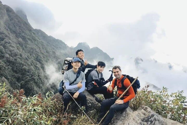
You step out before dawn in Sapa, the mountain air thin and sharp, and climb into a shuttle bound for Tram Ton Pass. By 2,000 meters the road opens to high ridgelines; the trail quickly narrows into bamboo groves and mossy trunks. The slope pitches steadily upward—stone, root, and loose scree—each switchback carving you closer to Fansipan’s 3,143‑meter crest.
Verified experiences and guided adventures in the surrounding area.
Operated by Best Vietnam Tours · Sapa, Lao Cai
You step out before dawn in Sapa, the mountain air thin and sharp, and climb into a shuttle bound for Tram Ton Pass. By 2,000 meters the road opens to high ridgelines; the trail quickly narrows into bamboo groves and mossy trunks. The slope pitches steadily upward—stone, root, and loose scree—each switchback carving you closer to Fansipan’s 3,143‑meter crest.
Fansipan sits at the western edge of the Hoang Lien Range, an uplifted granite core worn into sharp ridgelines by monsoon-driven erosion. The mountain’s slopes host mixed broadleaf forest and highland scrub, and local Hmong and Dao communities have long regarded the highlands as seasonal grazing and ritual ground.
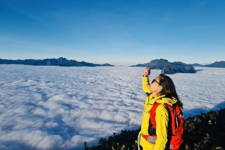
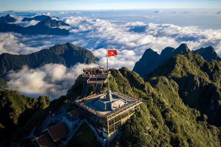
Expect vivid views on a clear day: terraced valleys below and the Vietnam–China massif stretching into the haze. On clouded days, mist moves like a living thing, revealing and swallowing ridgelines in minutes.
Practicalities: this full‑day itinerary gains roughly 1,100–1,400 meters depending on start and route and takes most groups 10–12 hours door‑to‑door. The tour provides a local English‑speaking guide, lunch, water, and transport from Sapa. Footing can be steep and uneven; poles and sturdy boots make the ascent more controlled. There’s an option to return by cable car (ticket not included) if weather and timing allow.
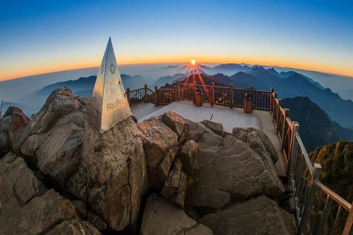
Plan for variable mountain weather—layer, carry rain protection, and allow time for altitude adjustments. Move deliberately, keep hydrated, and listen to the guide: Fansipan rewards patience with one of Indochina’s most commanding summit panoramas.
challenging.
10–12 hours.
Good cardiovascular fitness and endurance for sustained uphill hiking; prior day‑hike experience recommended
Most hikers gain roughly 1,100–1,400 meters from Tram Ton Pass to the Fansipan summit depending on the exact route taken.
No; the cable car descent is optional and requires a separate ticket purchased on your own.
You should have prior day‑hiking experience and be comfortable with sustained uphill walking; the guide manages route logistics.
Tours typically continue in light weather but guides may modify plans for safety; cancellations follow the operator’s refund policy if conditions are unsafe.
The Hoang Lien range where Fansipan sits has long been seasonally used by ethnic groups such as the Hmong and Dao; French explorers first mapped the massif in the early 20th century.
The area is fragile alpine habitat; stick to trails, avoid disturbing vegetation, and pack out all trash to help preserve sensitive high‑elevation ecosystems.
Best Vietnam Tours operates guided outdoor trips and adventures with an emphasis on safety, stewardship, and memorable experiences.
You step out before dawn in Sapa, the mountain air thin and sharp, and climb into a shuttle bound for Tram Ton Pass. By 2,000 meters the road opens to high ridgelines; the trail quickly narrows into bamboo groves and mossy trunks. The slope pitches steadily upward—stone, root, and loose scree—each switchback carving you closer to Fansipan’s 3,143‑meter crest.
You step out before dawn in Sapa, the mountain air thin and sharp, and climb into a shuttle bound for Tram Ton Pass. By 2,000 meters the road opens to high ridgelines; the trail quickly narrows into bamboo groves and mossy trunks. The slope pitches steadily upward—stone, root, and loose scree—each switchback carving you closer to Fansipan’s 3,143‑meter crest.
Fansipan sits at the western edge of the Hoang Lien Range, an uplifted granite core worn into sharp ridgelines by monsoon-driven erosion. The mountain’s slopes host mixed broadleaf forest and highland scrub, and local Hmong and Dao communities have long regarded the highlands as seasonal grazing and ritual ground.
Expect vivid views on a clear day: terraced valleys below and the Vietnam–China massif stretching into the haze. On clouded days, mist moves like a living thing, revealing and swallowing ridgelines in minutes.
Practicalities: this full‑day itinerary gains roughly 1,100–1,400 meters depending on start and route and takes most groups 10–12 hours door‑to‑door. The tour provides a local English‑speaking guide, lunch, water, and transport from Sapa. Footing can be steep and uneven; poles and sturdy boots make the ascent more controlled. There’s an option to return by cable car (ticket not included) if weather and timing allow.
Plan for variable mountain weather—layer, carry rain protection, and allow time for altitude adjustments. Move deliberately, keep hydrated, and listen to the guide: Fansipan rewards patience with one of Indochina’s most commanding summit panoramas.