THE ADVENTURE COLLECTIVE® · Independent discovery and booking for outdoor travel

A guided afternoon from Mount Isa uncovers the abandoned Mary Kathleen uranium mine and township—concrete footprints, an open pit and interpretive stories that link geology, Cold War-era demand, and local life. Expect walking on uneven ground, strong sun, and a close look at rehabilitation efforts.
A guided afternoon from Mount Isa uncovers the abandoned Mary Kathleen uranium mine and township—concrete footprints, an open pit and interpretive stories that link geology, Cold War-era demand, and local life. Expect walking on uneven ground, strong sun, and a close look at rehabilitation efforts.
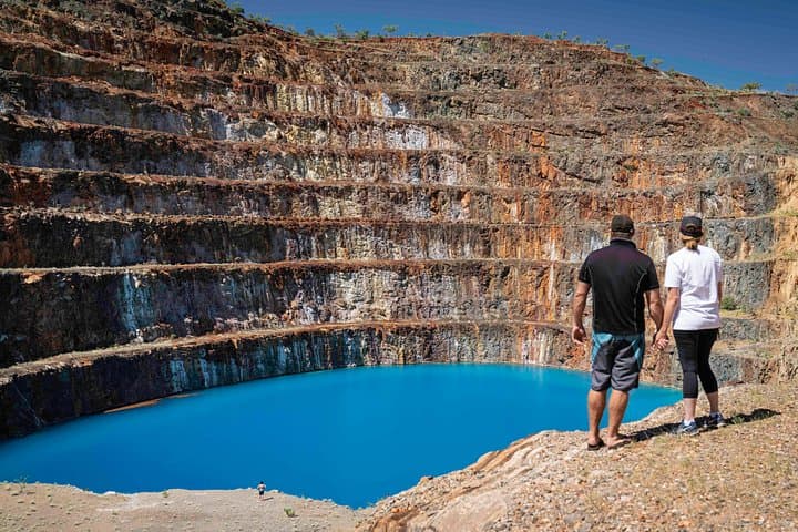
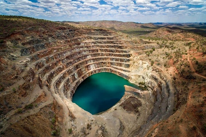
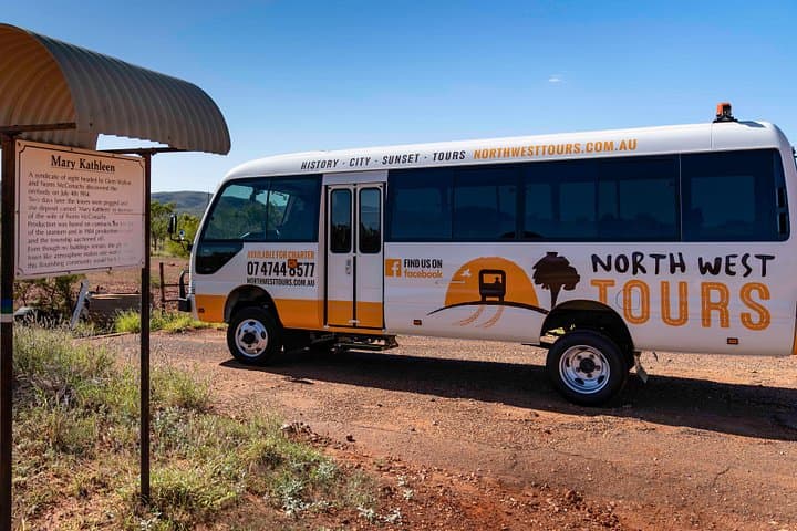
The afternoon sun flattens the red country as the van rolls away from Mount Isa and the road narrows toward a silent grid of concrete slabs and rusted rail. Dry spinifex brushes the tire tracks; wind picks up a scrap of paper and carries it across the open pit, as if the town still breathes in small, deliberate motions.
Verified experiences and guided adventures in the surrounding area.
Operated by North West Tours · Mount Isa, Queensland
The afternoon sun flattens the red country as the van rolls away from Mount Isa and the road narrows toward a silent grid of concrete slabs and rusted rail. Dry spinifex brushes the tire tracks; wind picks up a scrap of paper and carries it across the open pit, as if the town still breathes in small, deliberate motions.
Discovered in 1954 and opened in 1958, Mary Kathleen was a purpose-built uranium township whose boom life supported a thousand residents before ore ran out and operations ceased in the early 1980s. The interpretive walk moves between the mine scar, tailings, and the skeletal footprint of the township—post office foundations, a long-vanished cinema site, and old service roads that map daily life. Geology here is straightforward: Proterozoic host rocks with uranium-bearing veins concentrated by ancient hydrothermal processes; the open cut and rehabilitated areas illustrate mining’s footprint and remediation work.
Culturally the site is a chapter in modern Australian mining history and Cold War resource demand. Guides weave archival photos and personal anecdotes with protocols on safety and conservation; visitors hear both technical detail and the quieter human rhythms that once animated the town.
Practical guidance: the tour is low-impact but requires sturdy closed shoes and sun protection, and participants should be able to walk unaided over uneven ground for roughly an hour. Bring water, a hat, and a camera with a polarizer for dust-hazy vistas. Respect fenced areas and signage—this is both a protected rehabilitation site and a record of industrial history.
easy.
4 hours.
Suitable for most fitness levels; participants must be able to walk unaided over uneven ground for short periods.
The tour runs about four hours from Mount Isa and includes guided interpretive commentary, bottled water and a light afternoon tea.
Children are allowed but must be supervised; participants must be able to walk unaided and wear closed shoes—the route includes uneven ground and some short slopes.
The mine lies roughly an hour’s drive east of Mount Isa; tours depart from Mount Isa and include transport as part of the guided trip.
Photography is allowed in general areas, but fenced or signed-off sections are off-limits to protect rehabilitation works and visitor safety—follow guide instructions.
Mary Kathleen was discovered in 1954, opened as an integrated uranium township in 1958, and closed when ore was exhausted by 1981—today it stands as a record of mid-20th-century resource booms.
Post-closure rehabilitation has reshaped tailings and pit margins; visitors are asked to stick to paths and not disturb vegetation to support ongoing regeneration.
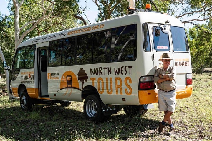
North West Tours operates guided outdoor trips and adventures with an emphasis on safety, stewardship, and memorable experiences.
The afternoon sun flattens the red country as the van rolls away from Mount Isa and the road narrows toward a silent grid of concrete slabs and rusted rail. Dry spinifex brushes the tire tracks; wind picks up a scrap of paper and carries it across the open pit, as if the town still breathes in small, deliberate motions.
The afternoon sun flattens the red country as the van rolls away from Mount Isa and the road narrows toward a silent grid of concrete slabs and rusted rail. Dry spinifex brushes the tire tracks; wind picks up a scrap of paper and carries it across the open pit, as if the town still breathes in small, deliberate motions.
Discovered in 1954 and opened in 1958, Mary Kathleen was a purpose-built uranium township whose boom life supported a thousand residents before ore ran out and operations ceased in the early 1980s. The interpretive walk moves between the mine scar, tailings, and the skeletal footprint of the township—post office foundations, a long-vanished cinema site, and old service roads that map daily life. Geology here is straightforward: Proterozoic host rocks with uranium-bearing veins concentrated by ancient hydrothermal processes; the open cut and rehabilitated areas illustrate mining’s footprint and remediation work.
Culturally the site is a chapter in modern Australian mining history and Cold War resource demand. Guides weave archival photos and personal anecdotes with protocols on safety and conservation; visitors hear both technical detail and the quieter human rhythms that once animated the town.
Practical guidance: the tour is low-impact but requires sturdy closed shoes and sun protection, and participants should be able to walk unaided over uneven ground for roughly an hour. Bring water, a hat, and a camera with a polarizer for dust-hazy vistas. Respect fenced areas and signage—this is both a protected rehabilitation site and a record of industrial history.