THE ADVENTURE COLLECTIVE® · Independent discovery and booking for outdoor travel

Cross three 5,000m-plus passes in the Everest region on a demanding multi-day trek that links Gokyo, Renjo La, Cho La and Kongma La. Expect glacier steps, high-altitude villages and sweeping summit views.
Cross three 5,000m-plus passes in the Everest region on a demanding multi-day trek that links Gokyo, Renjo La, Cho La and Kongma La. Expect glacier steps, high-altitude villages and sweeping summit views.
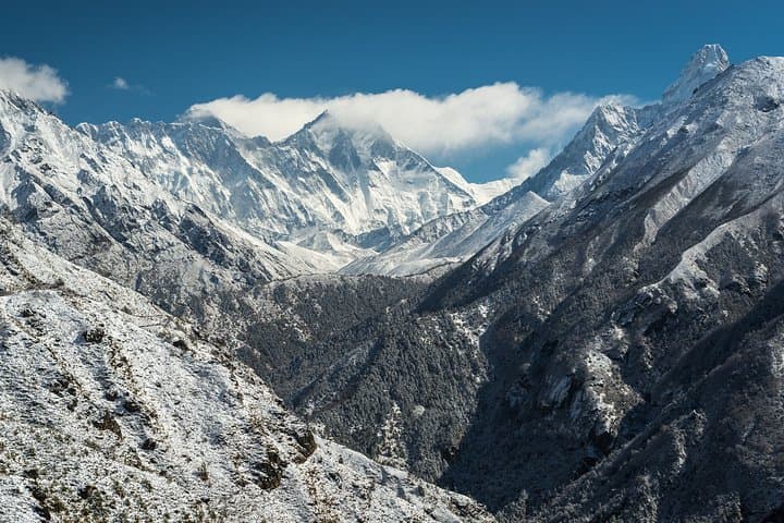
Snow and stone rearrange themselves beneath your boots as you climb above 5,000 meters—the air thin, the sun sharp, and the peaks imposing like chapters of geologic time. On the High Pass Trek you cross Renjo La (5,340m), Cho La (5,368m) and Kongma La (≈5,535m), threading glaciers, moraines and rocky ridgelines while the giants—Everest, Lhotse, Cho Oyu and Makalu—loiter at the edges of your view.
Verified experiences and guided adventures in the surrounding area.
Operated by Happyland Treks · Lukla, Province No. 1
Snow and stone rearrange themselves beneath your boots as you climb above 5,000 meters—the air thin, the sun sharp, and the peaks imposing like chapters of geologic time. On the High Pass Trek you cross Renjo La (5,340m), Cho La (5,368m) and Kongma La (≈5,535m), threading glaciers, moraines and rocky ridgelines while the giants—Everest, Lhotse, Cho Oyu and Makalu—loiter at the edges of your view.
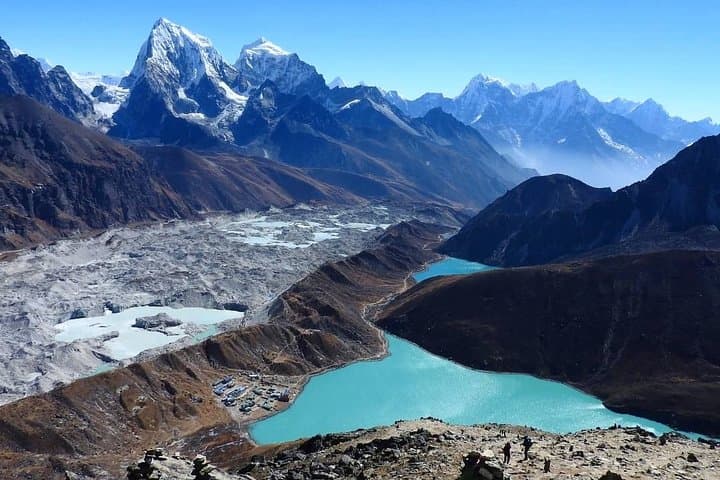
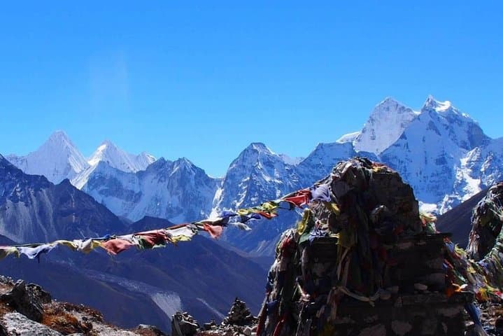
This route folds modern Sherpa culture into ancient geology: mani walls, prayer flags and stone villages sit on glacial outwash created during the last ice age. Tea houses and monasteries in Namche Bazaar and Tengboche offer cultural relief and acclimatization. The trail alternates loose scree, packed snowfields and well-worn mule tracks; at times you’ll contour lake basins (Gokyo) and cross icy cols where crevasse patterns are visible from above.
Practically, expect 3–8 hour trekking days with two scheduled acclimatization stops and a Lukla flight in/out. Elevation swings are large—plan for steady, conservative ascents and use the extra rest days to rotate fluids and calories. Permits (Sagarmatha National Park, TIMS) and a guided crew are standard; most groups trek with porters and tea-house accommodation.
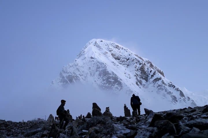
Gear-wise bring high-altitude layers, crampons for early/late season snow, and a daypack set up for heavy UV and wind. Hydrate often, swallow acclimatization slowly, and watch teammates for early AMS signs. The route rewards effort with glacier-bounded vistas and sunrise on Kala Patthar—an experience that feels like walking inside the map of the Himalaya.
difficult.
18 days.
Suited for experienced trekkers with high aerobic fitness, previous high-altitude exposure recommended
No technical climbing is required; however, experience with crampons and walking on snow/ice is very helpful on the high passes.
You need Sagarmatha National Park entry and a TIMS card; permits are normally arranged by the operator.
Passes involve long ascents, rocky and icy terrain and exposure above 5,000m—expect long, demanding days and altitude-related fatigue.
Cell coverage is sporadic outside major villages; tea houses often offer charging for a fee but expect limited power at higher elevations.
The route threads traditional Sherpa valleys used for trade and pilgrimage; Namche Bazaar grew as a trading hub on route to Tibet.
Sagarmatha National Park restricts waste and plastic—use refillable bottles, pack out non-biodegradables and follow local waste guidelines.
Happyland Treks operates guided outdoor trips and adventures with an emphasis on safety, stewardship, and memorable experiences.
Snow and stone rearrange themselves beneath your boots as you climb above 5,000 meters—the air thin, the sun sharp, and the peaks imposing like chapters of geologic time. On the High Pass Trek you cross Renjo La (5,340m), Cho La (5,368m) and Kongma La (≈5,535m), threading glaciers, moraines and rocky ridgelines while the giants—Everest, Lhotse, Cho Oyu and Makalu—loiter at the edges of your view.
Snow and stone rearrange themselves beneath your boots as you climb above 5,000 meters—the air thin, the sun sharp, and the peaks imposing like chapters of geologic time. On the High Pass Trek you cross Renjo La (5,340m), Cho La (5,368m) and Kongma La (≈5,535m), threading glaciers, moraines and rocky ridgelines while the giants—Everest, Lhotse, Cho Oyu and Makalu—loiter at the edges of your view.
This route folds modern Sherpa culture into ancient geology: mani walls, prayer flags and stone villages sit on glacial outwash created during the last ice age. Tea houses and monasteries in Namche Bazaar and Tengboche offer cultural relief and acclimatization. The trail alternates loose scree, packed snowfields and well-worn mule tracks; at times you’ll contour lake basins (Gokyo) and cross icy cols where crevasse patterns are visible from above.
Practically, expect 3–8 hour trekking days with two scheduled acclimatization stops and a Lukla flight in/out. Elevation swings are large—plan for steady, conservative ascents and use the extra rest days to rotate fluids and calories. Permits (Sagarmatha National Park, TIMS) and a guided crew are standard; most groups trek with porters and tea-house accommodation.
Gear-wise bring high-altitude layers, crampons for early/late season snow, and a daypack set up for heavy UV and wind. Hydrate often, swallow acclimatization slowly, and watch teammates for early AMS signs. The route rewards effort with glacier-bounded vistas and sunrise on Kala Patthar—an experience that feels like walking inside the map of the Himalaya.