THE ADVENTURE COLLECTIVE® · Independent discovery and booking for outdoor travel

Turn Dublin’s streets into your gameboard: an app-led scavenger hunt that pairs audio prompts with photo challenges. Expect 90–120 minutes of city lore, hidden plaques, and playful competitive moments—perfect for friends, families, or teams.
Turn Dublin’s streets into your gameboard: an app-led scavenger hunt that pairs audio prompts with photo challenges. Expect 90–120 minutes of city lore, hidden plaques, and playful competitive moments—perfect for friends, families, or teams.
You start on a cobbled street, phone in hand, and the city begins to speak. The app pings, a riddle points you toward a statue, and suddenly the ordinary bustle of Dublin — delivery bikes, café chatter, the distant toll of a church bell — becomes the map for a game. You move with purpose, scanning plaques and photographing clues, each solved question opening the next patch of the city.
Verified experiences and guided adventures in the surrounding area.
Operated by Let's Roam · Dublin, County Dublin
You start on a cobbled street, phone in hand, and the city begins to speak. The app pings, a riddle points you toward a statue, and suddenly the ordinary bustle of Dublin — delivery bikes, café chatter, the distant toll of a church bell — becomes the map for a game. You move with purpose, scanning plaques and photographing clues, each solved question opening the next patch of the city.
Dublin’s layers are immediate: Viking foundations under modern street grids, Georgian squares lined with redbrick townhouses, and Victorian accents on bridges crossing the Liffey. The route teaches local stories — rebellious poets, merchants who shaped trade, and the architecture that followed waves of prosperity and hardship.
Geology here is subtle: limestone under much of the city and glacially polished stone in older quays, while cultural life pulsed from markets to pubs. The scavenger-hunt format rewards curiosity — you’ll notice plaques, sculptural details, and small courtyards many visitors miss.
Practical guidance: this is self-guided and app-led, lasting about 90–120 minutes. Start mid-morning to catch good light and fewer commuters. Wear grippy shoes for uneven paving and keep your phone charged — the app supplies clues and photo challenges. Public transport is plentiful for arriving and returning, and the route is wheelchair accessible in most central sections, though some surfaces can be uneven.
Bring a data plan or download any offline assets beforehand, read plaque text carefully (answers are literal), and treat the city respectfully — this is a game inside a living urban fabric, not a closed site. Expect a lively mix of history, street-level detail, and playful competition.
moderate.
1.5–2 hours.
Moderate—able to walk 2–4 miles on mixed urban terrain with brief bursts of standing and bending.
No—this is self-guided and can be started any time after you redeem the ticket in the app; it typically takes 90–120 minutes to complete.
Much of central Dublin is accessible, but some historic sections have uneven paving—check the app’s map and choose paths marked as accessible when possible.
Yes—many families enjoy the hunt; activities are suitable for school-age children, though younger kids may need help with reading and photo tasks.
The app provides hints and customer support; if needed, use the hint system or contact support through the app to keep moving.
Dublin grew from a Viking trading settlement into a Georgian and Victorian capital; many plaques and statues reference literary and political figures from those eras.
Respect historic fabric by staying on paved routes and not touching fragile monuments; support local businesses encountered along the route to keep city centers vibrant.
Let's Roam operates guided outdoor trips and adventures with an emphasis on safety, stewardship, and memorable experiences.



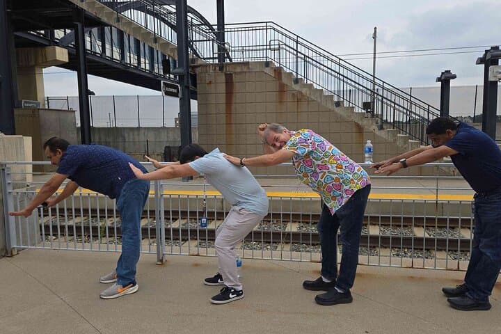
You start on a cobbled street, phone in hand, and the city begins to speak. The app pings, a riddle points you toward a statue, and suddenly the ordinary bustle of Dublin — delivery bikes, café chatter, the distant toll of a church bell — becomes the map for a game. You move with purpose, scanning plaques and photographing clues, each solved question opening the next patch of the city.
You start on a cobbled street, phone in hand, and the city begins to speak. The app pings, a riddle points you toward a statue, and suddenly the ordinary bustle of Dublin — delivery bikes, café chatter, the distant toll of a church bell — becomes the map for a game. You move with purpose, scanning plaques and photographing clues, each solved question opening the next patch of the city.
Dublin’s layers are immediate: Viking foundations under modern street grids, Georgian squares lined with redbrick townhouses, and Victorian accents on bridges crossing the Liffey. The route teaches local stories — rebellious poets, merchants who shaped trade, and the architecture that followed waves of prosperity and hardship.
Geology here is subtle: limestone under much of the city and glacially polished stone in older quays, while cultural life pulsed from markets to pubs. The scavenger-hunt format rewards curiosity — you’ll notice plaques, sculptural details, and small courtyards many visitors miss.
Practical guidance: this is self-guided and app-led, lasting about 90–120 minutes. Start mid-morning to catch good light and fewer commuters. Wear grippy shoes for uneven paving and keep your phone charged — the app supplies clues and photo challenges. Public transport is plentiful for arriving and returning, and the route is wheelchair accessible in most central sections, though some surfaces can be uneven.
Bring a data plan or download any offline assets beforehand, read plaque text carefully (answers are literal), and treat the city respectfully — this is a game inside a living urban fabric, not a closed site. Expect a lively mix of history, street-level detail, and playful competition.