THE ADVENTURE COLLECTIVE® · Independent discovery and booking for outdoor travel

Explore 91 miles of Louisiana’s Gulf Coast by car with an offline audio guide that blends natural history, Cajun culture, and wildlife viewing. Ideal for a flexible 3–4 hour loop with multiple pullouts for birding, beaches, and local stops.
Explore 91 miles of Louisiana’s Gulf Coast by car with an offline audio guide that blends natural history, Cajun culture, and wildlife viewing. Ideal for a flexible 3–4 hour loop with multiple pullouts for birding, beaches, and local stops.
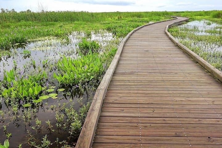
You pull off a quiet two-lane and the marsh opens like a living map — reeds brushing the hood, egrets threading the roadside, and the Gulf a pale ribbon on the horizon.
Verified experiences and guided adventures in the surrounding area.
Operated by Drive with Action · Sulphur, Louisiana
You pull off a quiet two-lane and the marsh opens like a living map — reeds brushing the hood, egrets threading the roadside, and the Gulf a pale ribbon on the horizon.
The Creole Nature Trail covers roughly 91 miles of coastal Louisiana, a loop that threads salt marshes, bayous, barrier islands and fishing towns. This self-guided audio drive stitches natural history with Cajun and Creole culture: learn how barrier islands form and erode, how shrimping and shipping shaped local economies, and why Cameron Parish’s wetlands are both fragile and fiercely defended by locals.
Geologically the trail traces recent delta plain — flat, subsiding land built by sediment and shaped by storms and tides. Expect wide vistas, low relief, and stops that reward slow travel: Lacassine National Wildlife Refuge for migratory waterfowl, Holly Beach for hard-packed sand and sunsets, and small-town grocers where gumbo recipes have been traded for generations.
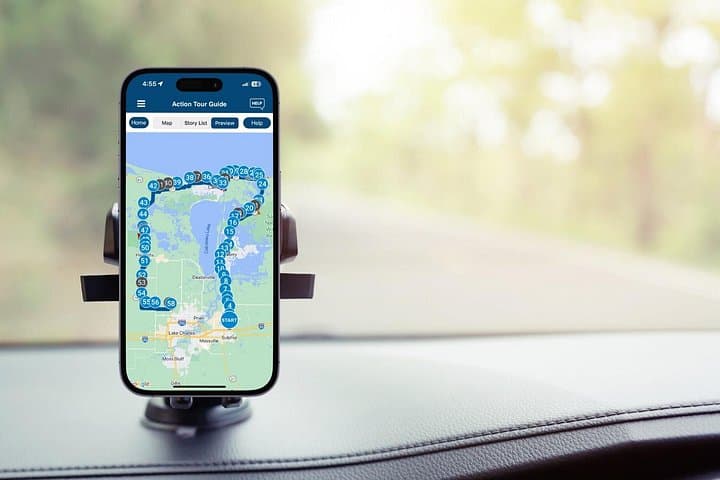
Practically, this tour works in any weather window but demands preparation: download the Action Tour Guide app before arrival, sync the audio for offline use, and maintain your pace — the route is designed for a 3–4 hour loop but invites detours. Bring water, sun protection, and binoculars for birding. Respect posted hours at refuges and private properties, obey speed limits, and watch for wildlife on the road, especially at dawn and dusk.
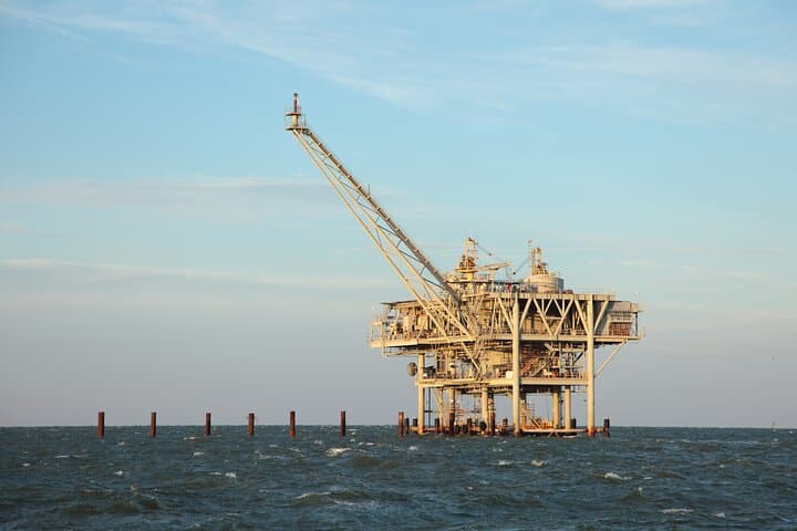
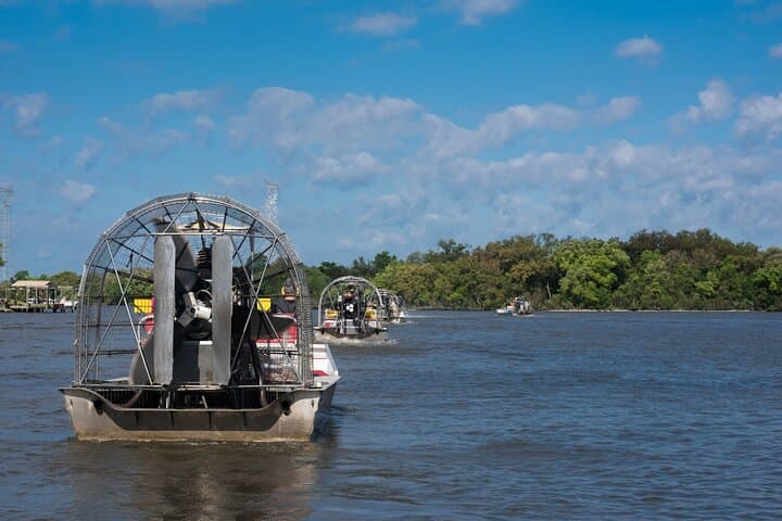
It’s not a race but a sequence of close encounters — industrial waterways nudging wild marsh, shrimp boats at work, and small roadside stands that make this coast legible and richly human.
easy.
3–4 hours.
No special fitness required; suitable for most travelers who can enter/exit a vehicle and walk short boardwalks.
The full loop is about 91 miles and typically takes 3–4 hours without long detours; plan extra time for stops, photography, and short walks.
No — download the audio in the Action Tour Guide app ahead of time; the tour functions offline once downloaded.
Yes; the driving format and short, accessible boardwalks make it family friendly, though some wildlife pullouts have stairs or uneven surfaces.
No — entrance fees to refuges or paid attractions are not included; check individual sites for hours and any fees before visiting.
The Creole Nature Trail runs through lands shaped by the Mississippi River’s distributaries and the Gulf—communities here developed around shrimping, cattle, and oil, with deep Cajun and Creole cultural roots.
Wetland loss and storm surge are major concerns; visitors should stick to marked trails, avoid disturbing wildlife, and support local conservation groups that protect marsh restoration efforts.
Drive with Action operates guided outdoor trips and adventures with an emphasis on safety, stewardship, and memorable experiences.
You pull off a quiet two-lane and the marsh opens like a living map — reeds brushing the hood, egrets threading the roadside, and the Gulf a pale ribbon on the horizon.
You pull off a quiet two-lane and the marsh opens like a living map — reeds brushing the hood, egrets threading the roadside, and the Gulf a pale ribbon on the horizon.
The Creole Nature Trail covers roughly 91 miles of coastal Louisiana, a loop that threads salt marshes, bayous, barrier islands and fishing towns. This self-guided audio drive stitches natural history with Cajun and Creole culture: learn how barrier islands form and erode, how shrimping and shipping shaped local economies, and why Cameron Parish’s wetlands are both fragile and fiercely defended by locals.
Geologically the trail traces recent delta plain — flat, subsiding land built by sediment and shaped by storms and tides. Expect wide vistas, low relief, and stops that reward slow travel: Lacassine National Wildlife Refuge for migratory waterfowl, Holly Beach for hard-packed sand and sunsets, and small-town grocers where gumbo recipes have been traded for generations.
Practically, this tour works in any weather window but demands preparation: download the Action Tour Guide app before arrival, sync the audio for offline use, and maintain your pace — the route is designed for a 3–4 hour loop but invites detours. Bring water, sun protection, and binoculars for birding. Respect posted hours at refuges and private properties, obey speed limits, and watch for wildlife on the road, especially at dawn and dusk.
It’s not a race but a sequence of close encounters — industrial waterways nudging wild marsh, shrimp boats at work, and small roadside stands that make this coast legible and richly human.