THE ADVENTURE COLLECTIVE® · Independent discovery and booking for outdoor travel

A full-day loop from Chiang Mai that pairs the city’s iconic mountaintop temple with Thailand’s highest national park. Expect waterfalls, a shaded downhill hike to Pha Dok Sew, mountain views and a visit to a Karen coffee village.
A full-day loop from Chiang Mai that pairs the city’s iconic mountaintop temple with Thailand’s highest national park. Expect waterfalls, a shaded downhill hike to Pha Dok Sew, mountain views and a visit to a Karen coffee village.
You leave Chiang Mai before dawn and the city slips away beneath a widening sky. By midmorning the air grows cooler — the road climbs toward Wat Phra That Doi Suthep, perched on a wooded ridge roughly 1,000 m above the valley, where a carved naga staircase and a gilded chedi frame long views of the plain below.
Verified experiences and guided adventures in the surrounding area.
Operated by Chiang Mai Driver Guide · Chiang Mai, Chiang Mai Province
You leave Chiang Mai before dawn and the city slips away beneath a widening sky. By midmorning the air grows cooler — the road climbs toward Wat Phra That Doi Suthep, perched on a wooded ridge roughly 1,000 m above the valley, where a carved naga staircase and a gilded chedi frame long views of the plain below.
The route continues higher into Doi Inthanon National Park, Thailand’s roof, whose summit reaches 2,565 m. The park’s geology is older, eroded granite and sandstone that channel mountain streams into plunging cataracts; Wachirathan Waterfall throws spray across basalt rock, the water daring you to stand close. Culture threads through the landscape: twin pagodas built to honor the Thai monarchy, Karen hill-tribe villages that still farm coffee on steep terraces, and quiet forest temples like Wat Pha Lat that predate mass tourism.
Practically, expect a full day of driving with short hikes and photo stops. The Pha Dok Sew trail is mostly downhill, shaded, and follows creeks to smaller falls and rice terraces — roughly 2–4 km on uneven roots-and-rock terrain, suitable for moderately steady walkers. Wear grippy shoes for wet trail sections and bring layers; temperature can drop noticeably above 1,500 m. Lunch is typically local Thai fare at a roadside restaurant; bring water and a light rain shell in the rainy season. Guide-led visits to the Karen village include a coffee tasting; be respectful when photographing people. Return to Chiang Mai in the evening with mountain air still clinging to your jacket and the day’s views replaying in your head.
moderate.
10–12 hours.
Suitable for travelers with average fitness who can walk 2–4 km on uneven downhill trails and handle several stair sections at temples.
The guided Pha Dok Sew section is a mostly downhill forest walk of roughly 2–4 km with uneven footing; it’s moderate rather than technical and suitable for steady walkers.
Day tours commonly include lunch and basic access; confirm with the operator whether national park entry fees are covered in your booking.
Yes—many tour operators rate it as suitable for a range of ages, but steep stairs at temples and some downhill trail sections may be challenging for those with mobility issues.
Cool, dry months (November–February) offer clearer views and lower rainfall; the rainy season (June–October) brings lush scenery and stronger waterfalls but slick trails.
The Twin Pagodas at Doi Inthanon were constructed to honor the 60th birthdays of King Bhumibol and Queen Sirikit and sit among formal gardens and mountain viewpoints.
Doi Inthanon was designated a national park to protect its montane forests and endemic species; stick to trails, minimize waste and support local community enterprises to reduce tourism impact.
Chiang Mai Driver Guide operates guided outdoor trips and adventures with an emphasis on safety, stewardship, and memorable experiences.


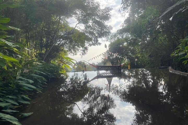

You leave Chiang Mai before dawn and the city slips away beneath a widening sky. By midmorning the air grows cooler — the road climbs toward Wat Phra That Doi Suthep, perched on a wooded ridge roughly 1,000 m above the valley, where a carved naga staircase and a gilded chedi frame long views of the plain below.
You leave Chiang Mai before dawn and the city slips away beneath a widening sky. By midmorning the air grows cooler — the road climbs toward Wat Phra That Doi Suthep, perched on a wooded ridge roughly 1,000 m above the valley, where a carved naga staircase and a gilded chedi frame long views of the plain below.
The route continues higher into Doi Inthanon National Park, Thailand’s roof, whose summit reaches 2,565 m. The park’s geology is older, eroded granite and sandstone that channel mountain streams into plunging cataracts; Wachirathan Waterfall throws spray across basalt rock, the water daring you to stand close. Culture threads through the landscape: twin pagodas built to honor the Thai monarchy, Karen hill-tribe villages that still farm coffee on steep terraces, and quiet forest temples like Wat Pha Lat that predate mass tourism.
Practically, expect a full day of driving with short hikes and photo stops. The Pha Dok Sew trail is mostly downhill, shaded, and follows creeks to smaller falls and rice terraces — roughly 2–4 km on uneven roots-and-rock terrain, suitable for moderately steady walkers. Wear grippy shoes for wet trail sections and bring layers; temperature can drop noticeably above 1,500 m. Lunch is typically local Thai fare at a roadside restaurant; bring water and a light rain shell in the rainy season. Guide-led visits to the Karen village include a coffee tasting; be respectful when photographing people. Return to Chiang Mai in the evening with mountain air still clinging to your jacket and the day’s views replaying in your head.