THE ADVENTURE COLLECTIVE® · Independent discovery and booking for outdoor travel

Spend a day on Thailand’s highest peak—summit views, a cool cloud forest trail, twin royal pagodas, hill‑tribe markets and Wachirathan Waterfall. This private tour compresses the park’s geology, culture and waterfalls into an accessible 8–9 hour outing from Chiang Mai.
Spend a day on Thailand’s highest peak—summit views, a cool cloud forest trail, twin royal pagodas, hill‑tribe markets and Wachirathan Waterfall. This private tour compresses the park’s geology, culture and waterfalls into an accessible 8–9 hour outing from Chiang Mai.
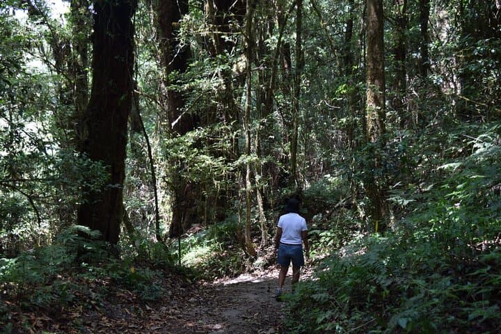
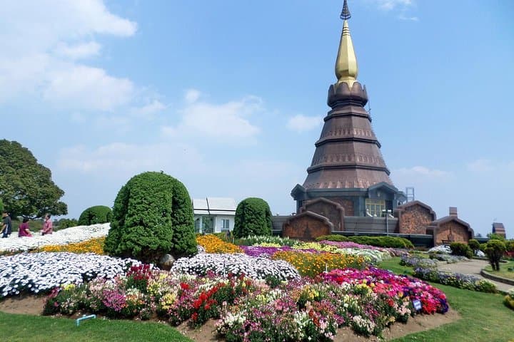
The road climbs and the air thins; mist threads through stunted oaks and rhododendrons as you arrive at Thailand’s highest summit. From the peak the valley opens like a map—patchwork farms, cloud-washed ridgelines and a river that seems to dare you to follow it downstream. On a private day tour you trade city traffic for a sequence of highland highlights: the summit lookout, a short forest loop rich with cool-air plants, twin royal pagodas on a windswept ridge, a hill‑tribe market and a thunderous waterfall.
Verified experiences and guided adventures in the surrounding area.
Operated by AP Good@travel · Chiang Mai, Chiang Mai Province
The road climbs and the air thins; mist threads through stunted oaks and rhododendrons as you arrive at Thailand’s highest summit. From the peak the valley opens like a map—patchwork farms, cloud-washed ridgelines and a river that seems to dare you to follow it downstream. On a private day tour you trade city traffic for a sequence of highland highlights: the summit lookout, a short forest loop rich with cool-air plants, twin royal pagodas on a windswept ridge, a hill‑tribe market and a thunderous waterfall.
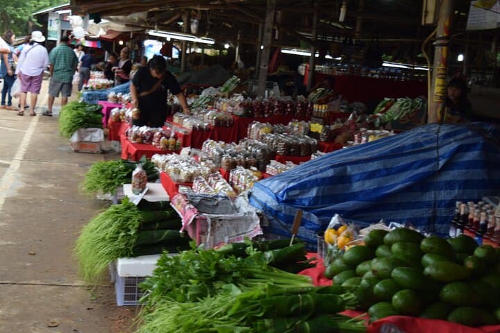
Doi Inthanon sits at 2,565 m on the Thanon Thong Chai Range and became Thailand’s first national park in 1972. Geologically it’s a mix of older metamorphic and intrusive rocks that create steep ridges and fertile valleys where cloud forest survives at altitude. Culturally, the park is framed by Hmong and Karen communities; markets sell woven textiles and the mountain coffee that locals roast and pour strong.
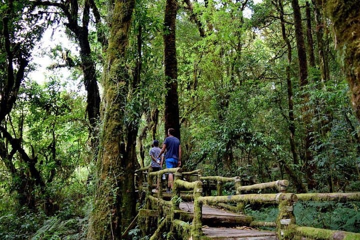
The tour is practical: expect paved roads between sites, short boardwalks through the Angkha Nature Trail, and a few short stair climbs at viewpoints. Wear layers—the summit can be 10–15°C cooler than Chiang Mai—and carry cash for market stalls and donations. Photography windows open early and late in the day; midday brings the heaviest crowds and mist that can hide views.
Plan for an 8–9 hour day with pickup in Chiang Mai, comfortable walking shoes, rain protection when clouds close in, and a respectful attitude in villages. It’s a highland sampler: geology, people, and waterfalls in a single day's arc.
moderate.
8–9 hours.
Suitable for travelers with basic fitness—short uphill walks and stairs, mostly easy on paved or boardwalk trails.
The private tour runs about 8–9 hours (480–540 minutes) with hotel pickup in Chiang Mai; exact start times vary by operator but typically leave early morning.
Most organized tours include park admission, but confirm with the operator before booking as policies vary.
No long technical hikes—stops include short boardwalks and stair climbs; the day is designed for general fitness levels.
Yes—lunch is usually provided at a local restaurant and village markets sell coffee, textiles and small snacks; carry cash for purchases.
Doi Inthanon, part of the Thanon Thong Chai Range, was declared Thailand’s first national park in 1972 and is home to royal memorial pagodas honoring the King and Queen.
The park protects important cloud-forest watersheds; stick to trails, avoid feeding wildlife and decline souvenirs made from wildlife products.
AP Good@travel operates guided outdoor trips and adventures with an emphasis on safety, stewardship, and memorable experiences.
The road climbs and the air thins; mist threads through stunted oaks and rhododendrons as you arrive at Thailand’s highest summit. From the peak the valley opens like a map—patchwork farms, cloud-washed ridgelines and a river that seems to dare you to follow it downstream. On a private day tour you trade city traffic for a sequence of highland highlights: the summit lookout, a short forest loop rich with cool-air plants, twin royal pagodas on a windswept ridge, a hill‑tribe market and a thunderous waterfall.
The road climbs and the air thins; mist threads through stunted oaks and rhododendrons as you arrive at Thailand’s highest summit. From the peak the valley opens like a map—patchwork farms, cloud-washed ridgelines and a river that seems to dare you to follow it downstream. On a private day tour you trade city traffic for a sequence of highland highlights: the summit lookout, a short forest loop rich with cool-air plants, twin royal pagodas on a windswept ridge, a hill‑tribe market and a thunderous waterfall.
Doi Inthanon sits at 2,565 m on the Thanon Thong Chai Range and became Thailand’s first national park in 1972. Geologically it’s a mix of older metamorphic and intrusive rocks that create steep ridges and fertile valleys where cloud forest survives at altitude. Culturally, the park is framed by Hmong and Karen communities; markets sell woven textiles and the mountain coffee that locals roast and pour strong.
The tour is practical: expect paved roads between sites, short boardwalks through the Angkha Nature Trail, and a few short stair climbs at viewpoints. Wear layers—the summit can be 10–15°C cooler than Chiang Mai—and carry cash for market stalls and donations. Photography windows open early and late in the day; midday brings the heaviest crowds and mist that can hide views.
Plan for an 8–9 hour day with pickup in Chiang Mai, comfortable walking shoes, rain protection when clouds close in, and a respectful attitude in villages. It’s a highland sampler: geology, people, and waterfalls in a single day's arc.