THE ADVENTURE COLLECTIVE® · Independent discovery and booking for outdoor travel

Take the controls over Paso Robles wine country on a 30-minute instructor-guided discovery flight. Glide over vineyards, spot raptors, and capture 4K footage of the Central Coast from a pilot’s seat.
Take the controls over Paso Robles wine country on a 30-minute instructor-guided discovery flight. Glide over vineyards, spot raptors, and capture 4K footage of the Central Coast from a pilot’s seat.
You taxi out and the vineyards fall away beneath the wing: rows of vines become geometric fields, oak-studded hills roll like a quiet sea, and the Salinas River threads silver in the distance. The instructor eases the controls to you and the small plane answers—gentle, precise—while Paso Robles opens beneath in an aerial pattern of agriculture and old roads.
Verified experiences and guided adventures in the surrounding area.
Operated by Soar Paso · Paso Robles, California
You taxi out and the vineyards fall away beneath the wing: rows of vines become geometric fields, oak-studded hills roll like a quiet sea, and the Salinas River threads silver in the distance. The instructor eases the controls to you and the small plane answers—gentle, precise—while Paso Robles opens beneath in an aerial pattern of agriculture and old roads.
This short discovery flight sits at the crossroads of Central Coast viticulture and aviation history. Paso Robles grew as a ranching and stagecoach hub before vineyards multiplied in the late 20th century; the airport has long served crop dusters and flight schools, now offering scenic introductions to powered flight. Geologically, the region rides the San Andreas system’s edges—limestone outcrops and rolling terraces that funnel fog and shape microclimates prized by winemakers.
Culturally the flight pairs well with tasting-room itineraries: you see why vineyard parcels change so visibly with slope and exposure, and how small roads stitch remote properties to town. Expect clear views of vineyard patterns, occasional raptor thermals, and the clustered roofs of Paso Robles below.
Practical guidance: flights run year-round but book morning slots for calmer air and clearer light; the experience is instructor-led so no pilot license is required, but operators ask for basic health info and weight. Bring layered clothing (cockpits can be windy), sunglasses, and a phone or camera secured on a strap. Flights are short—about 30 minutes—so plan transfers and winery appointments around a 60–90 minute window. If you want footage, confirm 4K capture in advance; most operators include a sparkling cider toast on landing.
easy.
30 minutes (allow 60–90 minutes total).
No special fitness required; must be able to climb into a small aircraft and follow safety briefings.
No—an instructor remains onboard and guides hands-on control; this is an introductory experience designed for first-timers.
Flights may be canceled or rescheduled if conditions reduce visibility or increase turbulence—operators typically cancel in poor weather with refund policies described at booking.
Yes—small cameras and phones are fine if secured; many operators offer 4K onboard footage as part of the package or as an add-on—confirm before flight.
Operators often have minimum age and weight guidelines and request passenger height/weight during booking for safe weight-and-balance calculations—check requirements when reserving.
Paso Robles evolved from ranching and stage routes into a major wine region in the late 20th century; its small airport has long supported agricultural aviation and flight training.
Operators follow noise-abatement and low-altitude restrictions to minimize disturbance; aerial tourism is encouraged to respect private-property views and local wildlife.
Soar Paso operates guided outdoor trips and adventures with an emphasis on safety, stewardship, and memorable experiences.
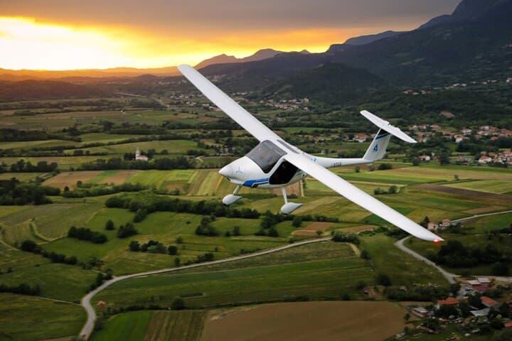
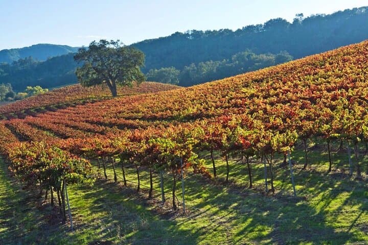
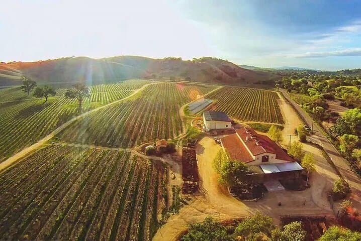

You taxi out and the vineyards fall away beneath the wing: rows of vines become geometric fields, oak-studded hills roll like a quiet sea, and the Salinas River threads silver in the distance. The instructor eases the controls to you and the small plane answers—gentle, precise—while Paso Robles opens beneath in an aerial pattern of agriculture and old roads.
You taxi out and the vineyards fall away beneath the wing: rows of vines become geometric fields, oak-studded hills roll like a quiet sea, and the Salinas River threads silver in the distance. The instructor eases the controls to you and the small plane answers—gentle, precise—while Paso Robles opens beneath in an aerial pattern of agriculture and old roads.
This short discovery flight sits at the crossroads of Central Coast viticulture and aviation history. Paso Robles grew as a ranching and stagecoach hub before vineyards multiplied in the late 20th century; the airport has long served crop dusters and flight schools, now offering scenic introductions to powered flight. Geologically, the region rides the San Andreas system’s edges—limestone outcrops and rolling terraces that funnel fog and shape microclimates prized by winemakers.
Culturally the flight pairs well with tasting-room itineraries: you see why vineyard parcels change so visibly with slope and exposure, and how small roads stitch remote properties to town. Expect clear views of vineyard patterns, occasional raptor thermals, and the clustered roofs of Paso Robles below.
Practical guidance: flights run year-round but book morning slots for calmer air and clearer light; the experience is instructor-led so no pilot license is required, but operators ask for basic health info and weight. Bring layered clothing (cockpits can be windy), sunglasses, and a phone or camera secured on a strap. Flights are short—about 30 minutes—so plan transfers and winery appointments around a 60–90 minute window. If you want footage, confirm 4K capture in advance; most operators include a sparkling cider toast on landing.