THE ADVENTURE COLLECTIVE® · Independent discovery and booking for outdoor travel

Turn central Melbourne into a playable map with a 19-clue self-guided trail designed for smart devices. Spend 2–3 hours solving prompts across laneways, riverside paths and historic squares, finishing at a bar near Flinders Street Station.
Turn central Melbourne into a playable map with a 19-clue self-guided trail designed for smart devices. Spend 2–3 hours solving prompts across laneways, riverside paths and historic squares, finishing at a bar near Flinders Street Station.
You lift your phone, tap "Start" and the city becomes an unfolding puzzle — alleys, facades and the Yarra’s edge offering clues instead of postcards. The game sends you 19 prompts that move you through concrete lanes, riverside promenades and historic squares, finishing with a relaxed score tally at a bar near Flinders Street Station.
Verified experiences and guided adventures in the surrounding area.
Operated by Trixity Trails · Melbourne, Victoria
You lift your phone, tap "Start" and the city becomes an unfolding puzzle — alleys, facades and the Yarra’s edge offering clues instead of postcards. The game sends you 19 prompts that move you through concrete lanes, riverside promenades and historic squares, finishing with a relaxed score tally at a bar near Flinders Street Station.
Melbourne’s grid of Victorian-era buildings, gold-rush history and late-20th-century street-art culture becomes the route’s classroom. Geology here is quiet underfoot — the river plain and basalt bluffs that shaped early docks — while lanes like Hosier and the arcades reflect waves of migration and commerce that built the CBD.
Cultural cut-throughs (laneways, laneway coffee culture, tram etiquette) are part of the experience: clues require observation, not speed. The trail is accessible — flat pavement and public-transport links — but expect typical city surfaces: cobbles, tram tracks and occasional construction detours.
Practical guidance: allot 2–3 hours, bring a charged smartphone and a portable battery, and start mid-morning to avoid peak tram crowds. Wear stout walking shoes and carry water — Melbourne weather shifts quickly, so a light rain layer helps. Use public transport to return to your accommodation; the route ends beside Flinders Street Station where trams, trains and eateries make post-game plans easy.
This is urban exploration with a cerebral twist: you’re exercising feet, eyes and brain while passing through decades of city stories. Treat the clues as prompts to look up from your screen and meet the city on its own terms.
easy.
2–3 hours.
Suitable for people who can walk 5–6 km at an easy pace; frequent stops for clues mean endurance is modest.
Plan for 2–3 hours; the timer pauses when you answer correctly, so you can take breaks and explore at your own pace.
Yes — most surfaces in the central route are accessible, but check local construction notices and tram stops for temporary diversions.
This product is sold one per booking; teams share a single device to solve the clues together.
There are 'Help' and 'Hint' options in the app, and you can use the internet or ask locals; the trail is designed to be solvable without specialist knowledge.
Melbourne grew rapidly during the 1850s gold rush; Flinders Street Station, opened in 1910, became the city’s transport hub and social meeting point.
Stick to paths and public spaces, dispose of litter, and support local businesses on the route; using public transport reduces your carbon footprint while exploring the city.
Trixity Trails operates guided outdoor trips and adventures with an emphasis on safety, stewardship, and memorable experiences.
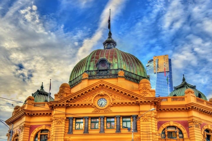
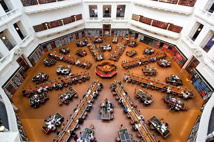
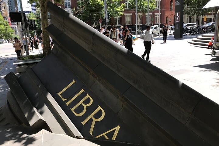
You lift your phone, tap "Start" and the city becomes an unfolding puzzle — alleys, facades and the Yarra’s edge offering clues instead of postcards. The game sends you 19 prompts that move you through concrete lanes, riverside promenades and historic squares, finishing with a relaxed score tally at a bar near Flinders Street Station.
You lift your phone, tap "Start" and the city becomes an unfolding puzzle — alleys, facades and the Yarra’s edge offering clues instead of postcards. The game sends you 19 prompts that move you through concrete lanes, riverside promenades and historic squares, finishing with a relaxed score tally at a bar near Flinders Street Station.
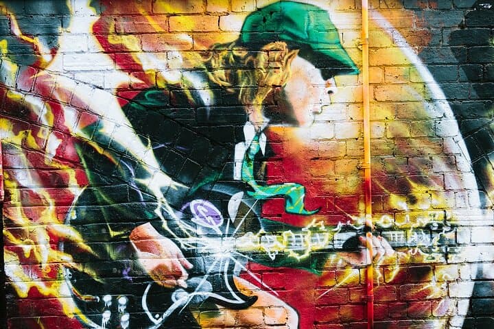
Melbourne’s grid of Victorian-era buildings, gold-rush history and late-20th-century street-art culture becomes the route’s classroom. Geology here is quiet underfoot — the river plain and basalt bluffs that shaped early docks — while lanes like Hosier and the arcades reflect waves of migration and commerce that built the CBD.
Cultural cut-throughs (laneways, laneway coffee culture, tram etiquette) are part of the experience: clues require observation, not speed. The trail is accessible — flat pavement and public-transport links — but expect typical city surfaces: cobbles, tram tracks and occasional construction detours.
Practical guidance: allot 2–3 hours, bring a charged smartphone and a portable battery, and start mid-morning to avoid peak tram crowds. Wear stout walking shoes and carry water — Melbourne weather shifts quickly, so a light rain layer helps. Use public transport to return to your accommodation; the route ends beside Flinders Street Station where trams, trains and eateries make post-game plans easy.
This is urban exploration with a cerebral twist: you’re exercising feet, eyes and brain while passing through decades of city stories. Treat the clues as prompts to look up from your screen and meet the city on its own terms.