THE ADVENTURE COLLECTIVE® · Independent discovery and booking for outdoor travel

A breezy 5-kilometer self-guided walk from the ferry to Mount Victoria, Devonport delivers Victorian architecture, naval history, volcanic geology and sweeping harbor panoramas. Use the offline app to navigate 31 narration points at your own pace.
A breezy 5-kilometer self-guided walk from the ferry to Mount Victoria, Devonport delivers Victorian architecture, naval history, volcanic geology and sweeping harbor panoramas. Use the offline app to navigate 31 narration points at your own pace.
You step off the ferry, salt on your jacket, and Devonport opens like a compact seaside chapter—harbor water catching the light, narrow streets edged by verandahs, and the cone of Mount Victoria rising green above the village.
Verified experiences and guided adventures in the surrounding area.
Operated by Trippy Tour Guide · Devonport, Auckland
You step off the ferry, salt on your jacket, and Devonport opens like a compact seaside chapter—harbor water catching the light, narrow streets edged by verandahs, and the cone of Mount Victoria rising green above the village.
This 5-kilometer self-guided route threads 31 stops from the ferry terminal to Takarunga / Mount Victoria. The walk moves through leafy residential drives, past grand Victorian homes and the yacht-lined marina, then climbs an 87-meter volcanic cone where WWII gun emplacements and a bronze topographic map orient you to Rangitoto and the Auckland skyline.
Geology here is immediate: you’re on scattered scoria cones and basalt remnants of the Auckland Volcanic Field, with Rangitoto’s black lava tongue visible across the harbor—a reminder that these islands are volcanic children of the Pacific.
Devonport’s human story layers Māori pā sites with European naval history; it once served the Southern Hemisphere’s major drydock and still carries naval architecture and commemorative monuments. The free local museum (Victorian villa) and the village cafés make culture part of the route.
Practical guide: expect 60–120 minutes at an easy pace; trails are paved or compact dirt with short steep sections to summit. The app provides offline maps and audio narration—bring a charged phone. Wear comfortable walking shoes, carry water, and time the ferry for golden-hour views. Be mindful of archaeological features—stay on marked paths—and check ferry schedules back to downtown Auckland. The walk balances relaxed village vibes with sudden, wide harbor views—an accessible half-day that rewards small detours and a slow, observant pace.
easy.
1–2 hours.
Suitable for most fitness levels; short, steep sections to the summit are manageable for regular walkers.
The tour is designed to be self-guided via the app—audio narration and offline maps cover all 31 stops so you can walk independently.
About 5 km and typically 60–120 minutes; most streets are paved, but the summit paths have short steep sections not ideal for strollers.
Yes—regular ferries run between Auckland CBD and Devonport daily, but frequency varies by time of day and season; check schedules before traveling.
Yes—the app includes fully offline maps and audio, so you won’t need mobile data once downloaded, though you will need a charged device.
Takarunga / Mount Victoria and nearby cones are former Māori pā sites and later became strategic naval points; Devonport grew as a service hub for Auckland’s maritime economy.
These volcanic cones and coastal habitats are ecologically and culturally sensitive—stay on trails, respect signage, and avoid collecting shells or disturbing wildlife.
Trippy Tour Guide operates guided outdoor trips and adventures with an emphasis on safety, stewardship, and memorable experiences.
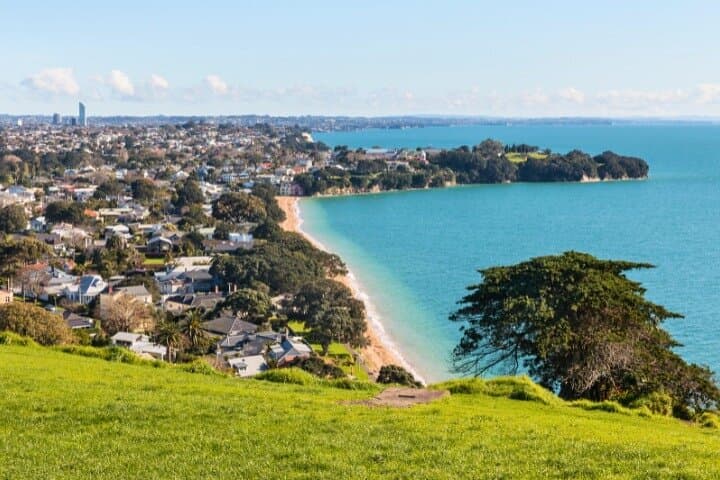
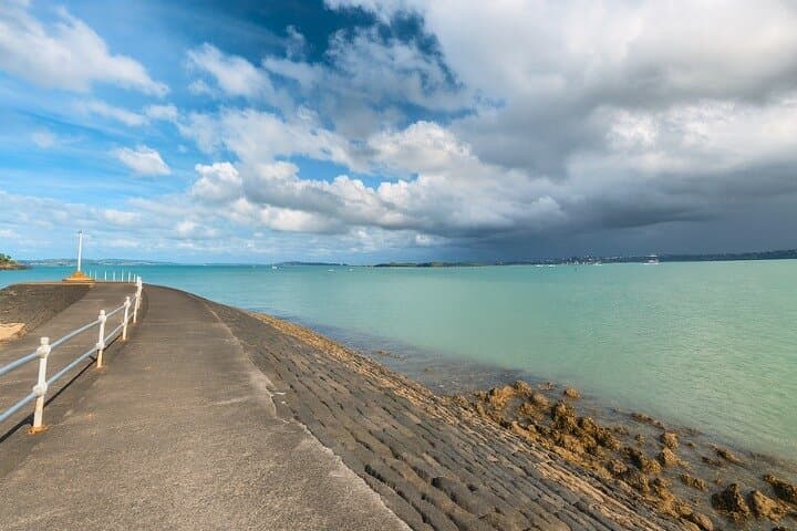
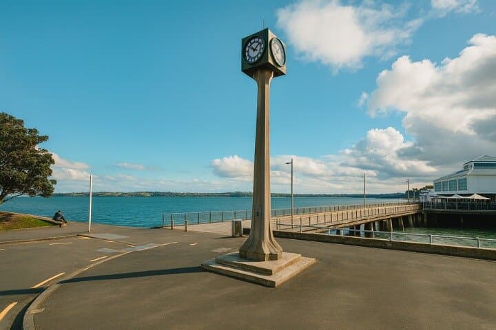
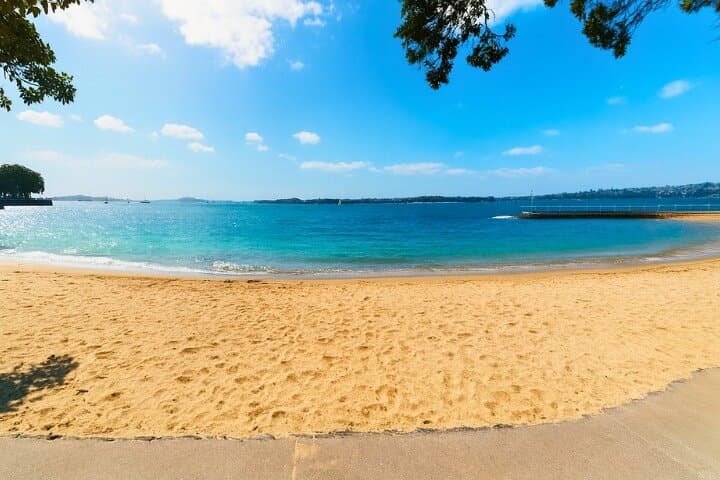
You step off the ferry, salt on your jacket, and Devonport opens like a compact seaside chapter—harbor water catching the light, narrow streets edged by verandahs, and the cone of Mount Victoria rising green above the village.
You step off the ferry, salt on your jacket, and Devonport opens like a compact seaside chapter—harbor water catching the light, narrow streets edged by verandahs, and the cone of Mount Victoria rising green above the village.
This 5-kilometer self-guided route threads 31 stops from the ferry terminal to Takarunga / Mount Victoria. The walk moves through leafy residential drives, past grand Victorian homes and the yacht-lined marina, then climbs an 87-meter volcanic cone where WWII gun emplacements and a bronze topographic map orient you to Rangitoto and the Auckland skyline.
Geology here is immediate: you’re on scattered scoria cones and basalt remnants of the Auckland Volcanic Field, with Rangitoto’s black lava tongue visible across the harbor—a reminder that these islands are volcanic children of the Pacific.
Devonport’s human story layers Māori pā sites with European naval history; it once served the Southern Hemisphere’s major drydock and still carries naval architecture and commemorative monuments. The free local museum (Victorian villa) and the village cafés make culture part of the route.
Practical guide: expect 60–120 minutes at an easy pace; trails are paved or compact dirt with short steep sections to summit. The app provides offline maps and audio narration—bring a charged phone. Wear comfortable walking shoes, carry water, and time the ferry for golden-hour views. Be mindful of archaeological features—stay on marked paths—and check ferry schedules back to downtown Auckland. The walk balances relaxed village vibes with sudden, wide harbor views—an accessible half-day that rewards small detours and a slow, observant pace.