THE ADVENTURE COLLECTIVE® · Independent discovery and booking for outdoor travel

Drive the historic Peak-to-Peak Scenic Byway from Denver to Estes Park on a full-day fall-color tour that threads mining towns, national forests, and high alpine views. Expect photo stops, short walks, and a stretch of Trail Ridge Road if weather permits.
Drive the historic Peak-to-Peak Scenic Byway from Denver to Estes Park on a full-day fall-color tour that threads mining towns, national forests, and high alpine views. Expect photo stops, short walks, and a stretch of Trail Ridge Road if weather permits.
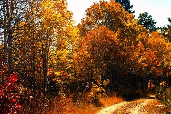
You step onto Wynkoop Street as the bus doors open and the city exhales behind you; ahead, the road climbs and the aspens begin to flash. The Peak-to-Peak Scenic Byway pushes through a changing world of gold and amber, a high-country corridor linking mining towns, alpine meadows, and the foothills of Rocky Mountain National Park.
Verified experiences and guided adventures in the surrounding area.
Operated by Prive' · Denver, Colorado
You step onto Wynkoop Street as the bus doors open and the city exhales behind you; ahead, the road climbs and the aspens begin to flash. The Peak-to-Peak Scenic Byway pushes through a changing world of gold and amber, a high-country corridor linking mining towns, alpine meadows, and the foothills of Rocky Mountain National Park.
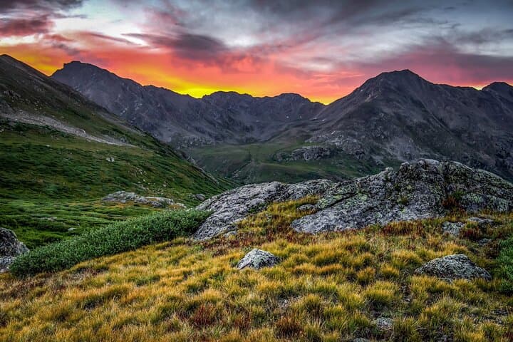
The route follows Colorado's oldest scenic byway, a road cut through volcanic and uplifted Precambrian rock with patches of gravel that hint at old mining spurs and ghost towns like Apex and Hesse. Central City and Black Hawk speak to the Pike's Peak Gold Rush era; further north, the Arapaho and Roosevelt National Forests and the Indian Peaks Wilderness show a rugged high-alpine face where Trail Ridge Road climbs toward the Continental Divide and tundra above 12,000 feet.
Along the way you’ll pass Eldora Ski Resort, the Moffat Tunnel's east portal, and rivers that dare you to stop and cast a line. Wildlife — elk and mule deer most commonly — moves through valleys and park meadows with a slow, deliberate curiosity.
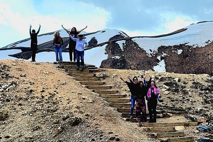
Practical guide: this full-day tour runs about 6–8 hours with short walks and photo stops; dress in layers for rapid temperature swings between Denver (5,280 ft) and Trail Ridge elevations (over 12,000 ft). Bring water, a charged phone for photos, and a light waterproof shell—the high country can change fast. If the park is busy or weather closes Trail Ridge Road, the itinerary adapts; expect periods of on-bus narration, short town stops in Nederland and Estes Park, and time for a lunch break on Main Street in Estes Park.
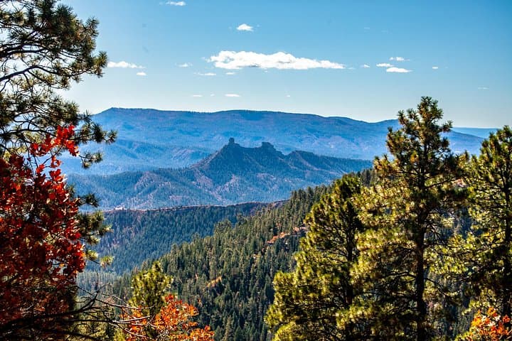
For photographers and hikers alike, the Peak-to-Peak journey rewards patience: vistas widen in stages, and every pullout offers a different angle on Colorado’s spine.
easy.
6–8 hours.
Comfortable with short walks and standing; moderate fitness recommended for brief high-elevation ambles.
Meet near the Wynkoop and 17th Street flagpole in downtown Denver; the tour returns to the same downtown pickup area.
Park admission is not included; stops and access depend on park conditions and Trail Ridge Road openings.
Walking is limited to short photo stops and town strolls—no long hikes are required, but comfortable shoes are recommended.
The itinerary includes a lunch stop in Estes Park where you can buy food; the vehicle makes scheduled restroom stops during the day.
The Peak-to-Peak corridor follows routes cut during Colorado's mining boom; Central City and Black Hawk grew into major mining and gambling centers after the 1859 gold rush.
This region balances recreation with habitat protection—stay on designated pullouts and trails, pack out trash, and follow park regulations to reduce visitor impact.
Prive' operates guided outdoor trips and adventures with an emphasis on safety, stewardship, and memorable experiences.
You step onto Wynkoop Street as the bus doors open and the city exhales behind you; ahead, the road climbs and the aspens begin to flash. The Peak-to-Peak Scenic Byway pushes through a changing world of gold and amber, a high-country corridor linking mining towns, alpine meadows, and the foothills of Rocky Mountain National Park.
You step onto Wynkoop Street as the bus doors open and the city exhales behind you; ahead, the road climbs and the aspens begin to flash. The Peak-to-Peak Scenic Byway pushes through a changing world of gold and amber, a high-country corridor linking mining towns, alpine meadows, and the foothills of Rocky Mountain National Park.
The route follows Colorado's oldest scenic byway, a road cut through volcanic and uplifted Precambrian rock with patches of gravel that hint at old mining spurs and ghost towns like Apex and Hesse. Central City and Black Hawk speak to the Pike's Peak Gold Rush era; further north, the Arapaho and Roosevelt National Forests and the Indian Peaks Wilderness show a rugged high-alpine face where Trail Ridge Road climbs toward the Continental Divide and tundra above 12,000 feet.
Along the way you’ll pass Eldora Ski Resort, the Moffat Tunnel's east portal, and rivers that dare you to stop and cast a line. Wildlife — elk and mule deer most commonly — moves through valleys and park meadows with a slow, deliberate curiosity.
Practical guide: this full-day tour runs about 6–8 hours with short walks and photo stops; dress in layers for rapid temperature swings between Denver (5,280 ft) and Trail Ridge elevations (over 12,000 ft). Bring water, a charged phone for photos, and a light waterproof shell—the high country can change fast. If the park is busy or weather closes Trail Ridge Road, the itinerary adapts; expect periods of on-bus narration, short town stops in Nederland and Estes Park, and time for a lunch break on Main Street in Estes Park.
For photographers and hikers alike, the Peak-to-Peak journey rewards patience: vistas widen in stages, and every pullout offers a different angle on Colorado’s spine.