THE ADVENTURE COLLECTIVE® · Independent discovery and booking for outdoor travel

Drive north from Fairbanks across tundra and river valleys to stand at the Arctic Circle, visit Finger Mountain, and view the mighty Yukon River. This full‑day adventure combines roadside history, short walks to overlooks, and a certified Arctic Circle photo stop.
Drive north from Fairbanks across tundra and river valleys to stand at the Arctic Circle, visit Finger Mountain, and view the mighty Yukon River. This full‑day adventure combines roadside history, short walks to overlooks, and a certified Arctic Circle photo stop.
You step off the coach into a wind that seems to know the map of the land — cool, clean, and unhurried. The road north unfurls across low tundra and black spruce, the Yukon River cutting its own path and daring you to imagine the fur traders and goldseekers who once followed its banks. At Finger Mountain, the view opens high above the treeline; the land flattens into a wide, spare horizon that makes distance feel measurable.
Verified experiences and guided adventures in the surrounding area.
Operated by 1st Alaska Outdoor School · Fairbanks, Alaska
You step off the coach into a wind that seems to know the map of the land — cool, clean, and unhurried. The road north unfurls across low tundra and black spruce, the Yukon River cutting its own path and daring you to imagine the fur traders and goldseekers who once followed its banks. At Finger Mountain, the view opens high above the treeline; the land flattens into a wide, spare horizon that makes distance feel measurable.
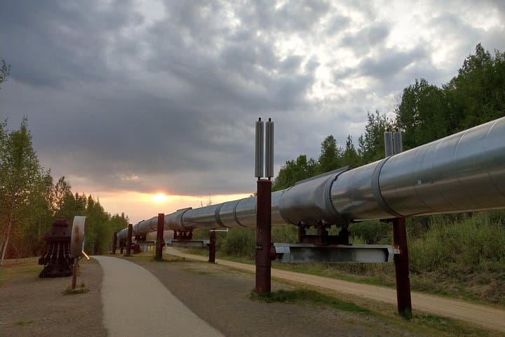
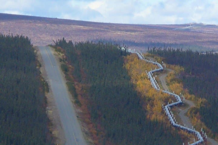
This route traces modern engineering and older stories: the Trans‑Alaska Pipeline runs parallel in places, an industrial ribbon across an ancient migration corridor used for millennia by Athabascan peoples. Geology here is blunt and readable — broad river gravels, glacial deposits, and bedrock that hints at Alaska’s tectonic restlessness. Culture arrives in small ways: roadside placards, the quiet of a place where community means endurance.
Practically, expect a long day on the road (12–15 hours) with several short walks to overlooks, a stop at the Yukon River, and the Arctic Circle photo moment with certificate. Weather can change fast; layers and windproof shells are essential. Bring snacks, spare batteries, and a sense of patience — much of the terrain is remote and services are minimal. Wildlife sightings are possible but never guaranteed; the pace is observational rather than pursuit.
This trip is about scale and the rhythm of travel: long stretches of highway, sudden viewpoints, and the small ceremony of crossing the Arctic Circle. It’s accessible for most travelers who can handle a full day’s travel and want a concentrated encounter with Alaska’s north.
moderate.
12–15 hours.
Suitable for most fitness levels; requires the ability to do short walks on uneven ground and tolerate long periods on a coach.
The tour runs approximately 12–15 hours round trip from Fairbanks, depending on road and weather conditions.
Yes—physical demands are low with short walks, but the long day and remote travel may be tiring for very young children or those with limited mobility.
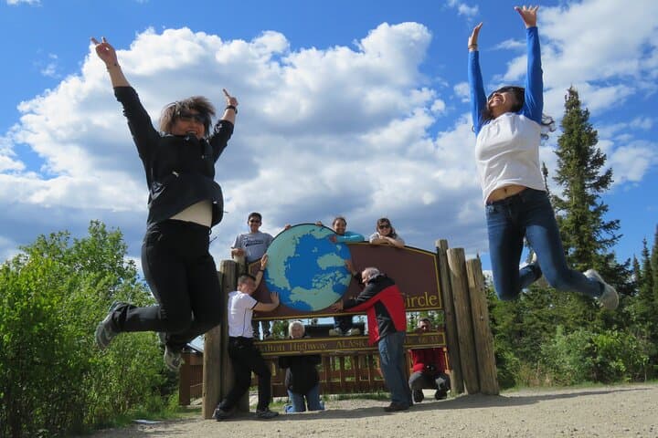
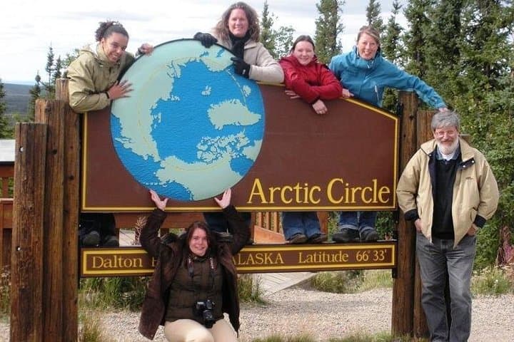
Yes—there is a designated photo stop at the Arctic Circle where participants can have their picture taken and receive a certificate.
Facilities are limited; there are scheduled stops with basic restrooms and a riverside stop, but travelers should bring snacks and water in case services are unavailable.
The route passes sections of the Trans‑Alaska Pipeline and crosses lands long used by Athabascan communities; modern roadways overlay historic travel corridors.
Tundra and permafrost are fragile—stick to marked areas, pack out waste, and minimize vehicle-side foot traffic to reduce erosion and plant damage.
1st Alaska Outdoor School operates guided outdoor trips and adventures with an emphasis on safety, stewardship, and memorable experiences.
You step off the coach into a wind that seems to know the map of the land — cool, clean, and unhurried. The road north unfurls across low tundra and black spruce, the Yukon River cutting its own path and daring you to imagine the fur traders and goldseekers who once followed its banks. At Finger Mountain, the view opens high above the treeline; the land flattens into a wide, spare horizon that makes distance feel measurable.
You step off the coach into a wind that seems to know the map of the land — cool, clean, and unhurried. The road north unfurls across low tundra and black spruce, the Yukon River cutting its own path and daring you to imagine the fur traders and goldseekers who once followed its banks. At Finger Mountain, the view opens high above the treeline; the land flattens into a wide, spare horizon that makes distance feel measurable.
This route traces modern engineering and older stories: the Trans‑Alaska Pipeline runs parallel in places, an industrial ribbon across an ancient migration corridor used for millennia by Athabascan peoples. Geology here is blunt and readable — broad river gravels, glacial deposits, and bedrock that hints at Alaska’s tectonic restlessness. Culture arrives in small ways: roadside placards, the quiet of a place where community means endurance.
Practically, expect a long day on the road (12–15 hours) with several short walks to overlooks, a stop at the Yukon River, and the Arctic Circle photo moment with certificate. Weather can change fast; layers and windproof shells are essential. Bring snacks, spare batteries, and a sense of patience — much of the terrain is remote and services are minimal. Wildlife sightings are possible but never guaranteed; the pace is observational rather than pursuit.
This trip is about scale and the rhythm of travel: long stretches of highway, sudden viewpoints, and the small ceremony of crossing the Arctic Circle. It’s accessible for most travelers who can handle a full day’s travel and want a concentrated encounter with Alaska’s north.